- McClellan Ranch Park
-
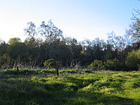 The natural reserve of McClellan Ranch Park
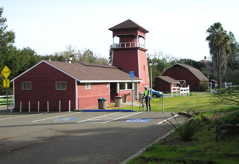
McClellan Ranch Park is a 23-acre (93,000 m2) public park located in the Monta Vista neighborhood of Cupertino that still retains its rural ranch look. It used to be a horse ranch owed by the McClellan family in the 1930s, and still preserves the original ranch house, a working milk barn and livestock barn, and two historical structures moved from other sites, along with a natural reserve in the middle of the park. A famous birding hot spot, the ranch park also houses the headquarters of the Santa Clara Valley Audubon Society.
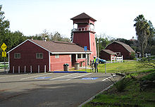 Barns near the entrance to the park.
The McClellan Ranch maintains a sedate and scenic trail along the meandering Stevens Creek, which flows from the park to Blackberry Farm, a picnic hot spot for Monta Vista residents. The Master Gardeners program of the Santa Clara County also conducts vegetable trials on the Community Farm situated on the ranch.
External links
- Santa Clara Valley Audubon Society history of McClellan Ranch
- Master Gardeners history of McClellan Ranch
- Cupertino parks
Gallery
-
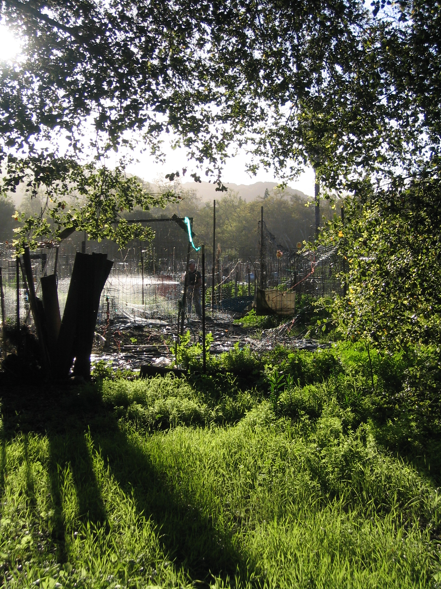
Community farm on the ranch
-
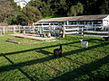
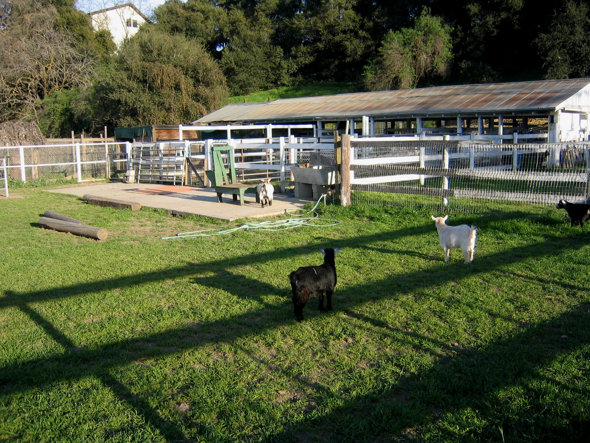
Working livestock barn on the ranch
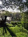
-
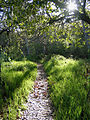
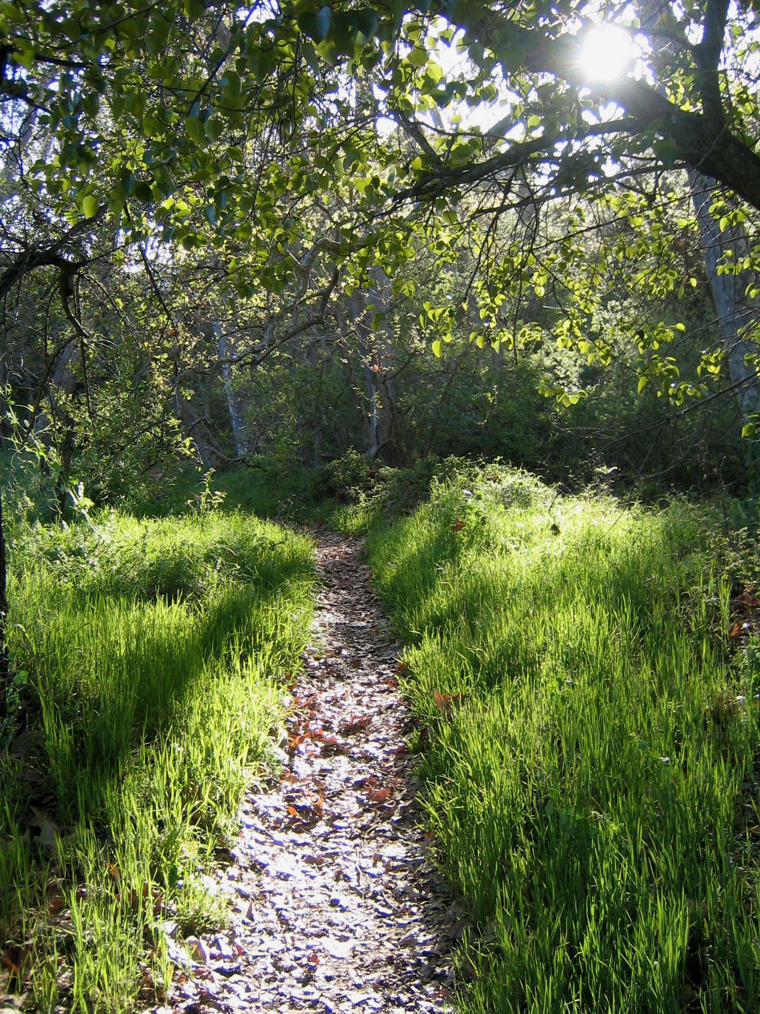
Trail along Stevens Creek
-
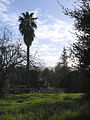
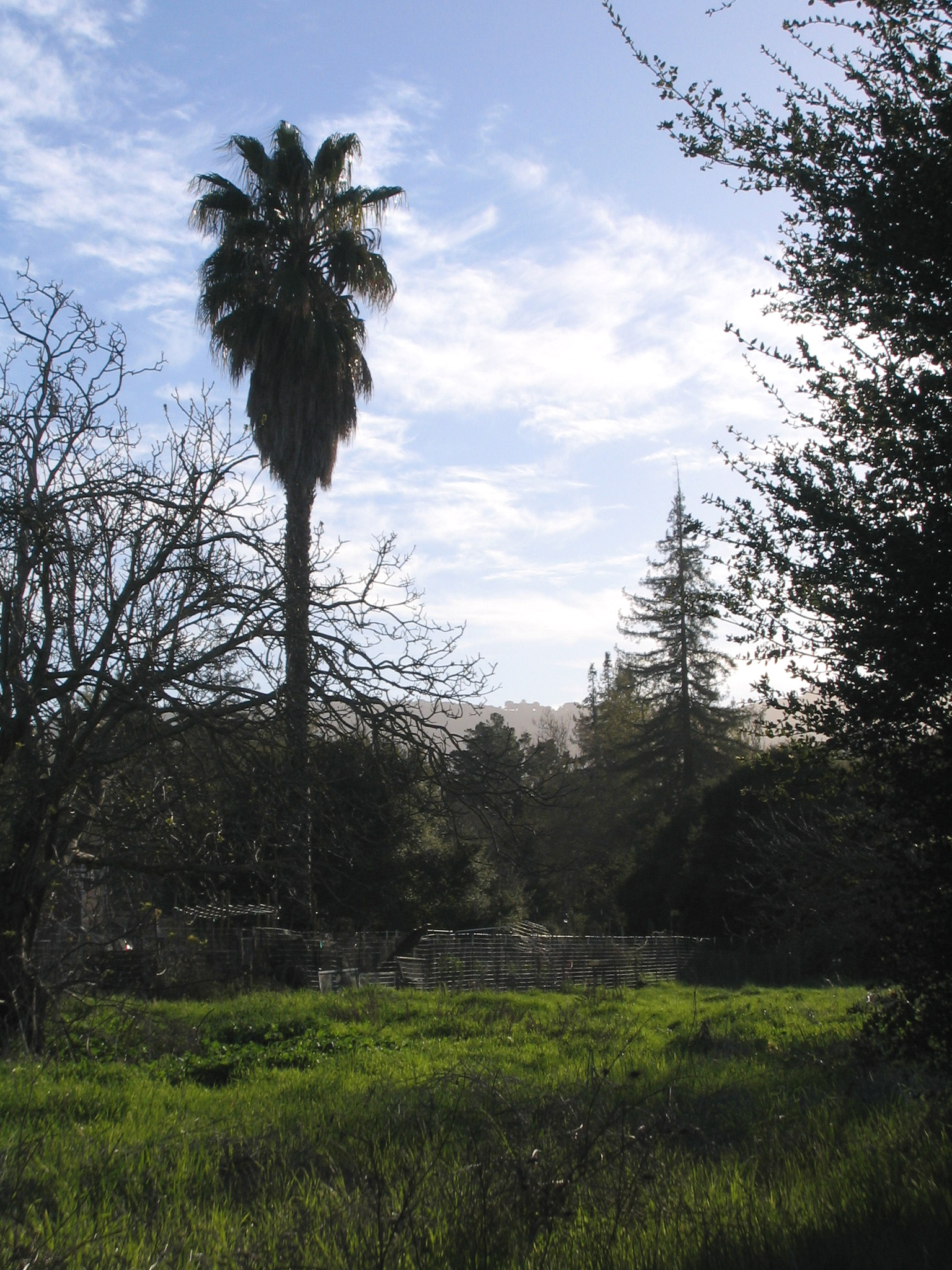
Natural reserve in front of the community farm
Coordinates: 37°18′50″N 122°03′49″W / 37.31389°N 122.06361°W
Categories:- Cupertino, California
- Municipal parks in California
- Parks in the San Francisco Bay Area
- Parks in Santa Clara County, California

Wikimedia Foundation. 2010.