- Stonecoal Creek
Geobox|River
name = Stonecoal Creek
image_size =
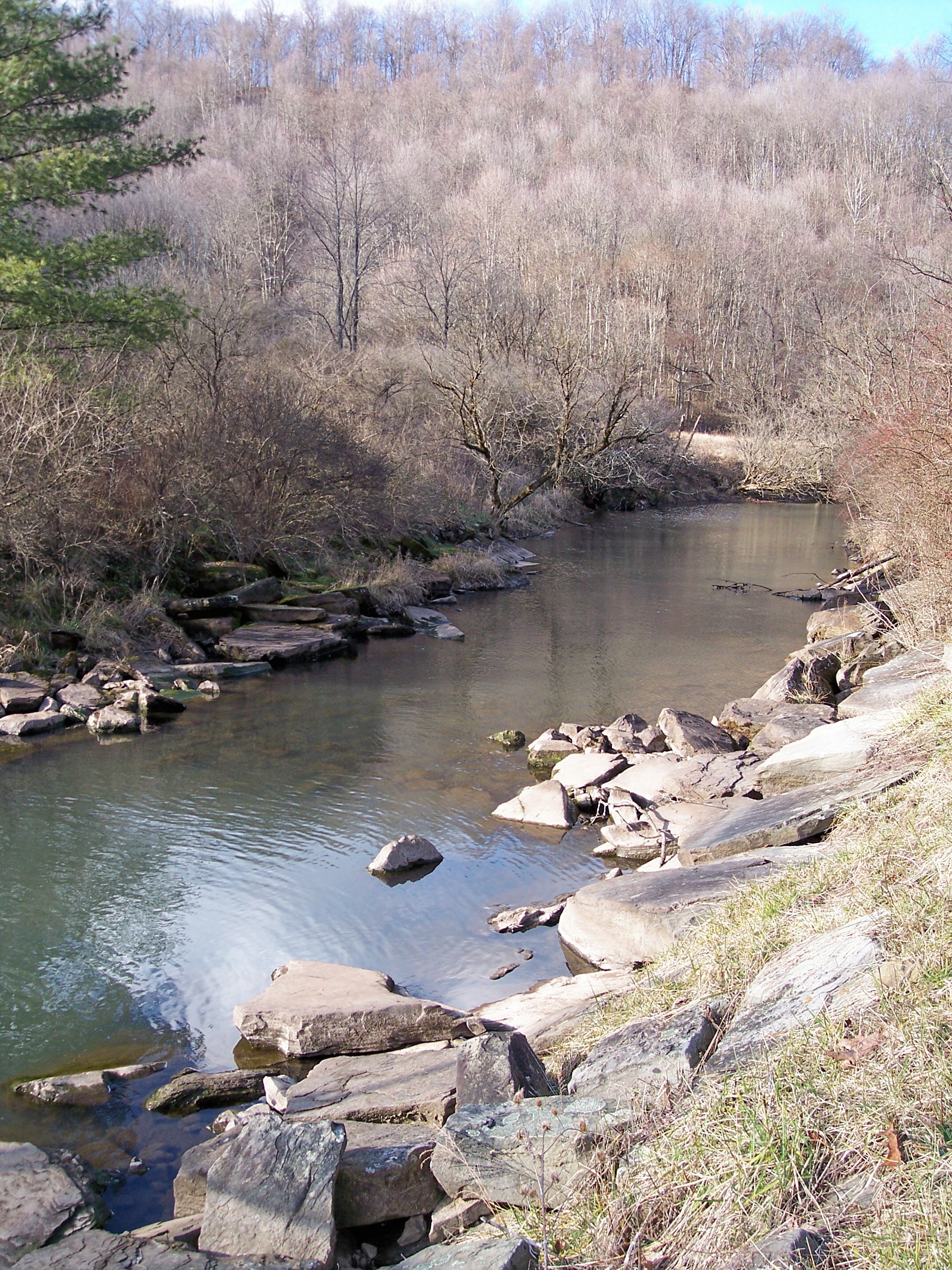
image_caption = The Right Fork of Stonecoal Creek, downstream of Stonecoal Lake in 2006
image_first =
country = United States
country_
state = West Virginia
state_
region_type = Counties
region = Lewis
region1 = Upshur
length =
length_imperial =
length_note =
watershed =
watershed_imperial = 41
watershed_note =cite web |url= http://www.dep.state.wv.us/watershed/ |pages = [http://web.archive.org/web/20060523112232/www.dep.state.wv.us/watershed/w5020002.html West Fork River] | title= Watershed Atlas Project. | author= West Virginia Department of Environmental Protection | accessdate=2007-02-26 |archiveurl= http://web.archive.org/web/20050404165853/www.dep.state.wv.us/watershed/ |archivedate=2006-05-07]
discharge_location =
discharge_average =
discharge_average_imperial =
discharge_max =
discharge_max_imperial =
discharge_min =
discharge_min_imperial =
discharge1_location =
discharge1_average =
discharge1_average_imperial =
source_name =
source_location = northwestern Upshur County
source_location_note =
source_lat_d = 39
source_lat_m = 00
source_lat_s = 47
source_lat_NS = N
source_long_d = 80
source_long_m = 18
source_long_s = 47
source_long_EW = W
source_coordinates_note =cite web |url=Gnis3|1547471 |title=Geographic Names Information System entry for Stonecoal Creek (Feature ID #1547471) |author=Geographic Names Information System |authorlink=Geographic Names Information System|accessdate=2007-02-19]
source_elevation =
source_elevation_imperial = 1453
source_elevation_note = [Google Earth elevation forGNIS source coordinates. Retrieved on2007-02-19 .]
source_length =
source_length_imperial =
source_name =
source_location = Upshur County, WV
source_location_note =
source_lat_d = 39
source_lat_m = 00
source_lat_s = 47
source_lat_NS = N
source_long_d = 80
source_long_m = 18
source_long_s = 47
source_long_EW = W
source_coordinates_note =cite web |url=Gnis3|1547471 |title=Geographic Names Information System entry for Stonecoal Creek (Feature ID #1547471) |author=Geographic Names Information System |authorlink=Geographic Names Information System|accessdate=2007-02-19]
source_elevation =
source_elevation_imperial = 1453
source_elevation_note = [Google Earth elevation forGNIS source coordinates. Retrieved on2007-02-19 .]
mouth_name = West Fork River
mouth_location = Weston, WV
mouth_location_note =
mouth_elevation =
mouth_elevation_imperial = 1010
mouth_elevation_note =
mouth_lat_d = 39
mouth_lat_m = 02
mouth_lat_s = 36
mouth_lat_NS = N
mouth_long_d = 80
mouth_long_m = 27
mouth_long_s = 43
mouth_long_EW = W
mouth_coordinates_note =
tributary_left = Right Fork Stonecoal Creek
tributary_left1 =
tributary_right =
tributary_right1 =
map_size =
map_caption =
map_first =Stonecoal Creek is a
tributary of theWest Fork River in north-centralWest Virginia in theUnited States . Via the West Fork, Monongahela and Ohio Rivers, it is part of the watershed of theMississippi River , draining an area of 41 square miles (106 km²) on the unglaciated portion of theAllegheny Plateau . The stream is believed to have been named in the late 1760s by a group of explorers andsettler s (including Jesse Hughes), who foundcoal in nearby hills and mixed with pebbles in the stream. [cite book| author=Kenny, Hamill |title= West Virginia Place Names: Their Origin and Meaning, Including the Nomenclature of the Streams and Mountains |year=1945 |publisher=The Place Name Press |location=Piedmont, West Virginia |pages= p.604]Stonecoal Creek rises approximately five miles (8 km) west-northwest of Buckhannon in northwestern Upshur County and flows westwardly into northern Lewis County, where it joins the West Fork River from the east in the city of Weston. [
DeLorme (1997). "West Virginia Atlas & Gazetteer". Yarmouth, Maine: DeLorme. p.36. ISBN 0-89933-246-3.] Its principal tributary, the Right Fork Stonecoal Creek, [cite web |url=Gnis3|1545711 |title=Geographic Names Information System entry for Right Fork Stonecoal Creek (Feature ID #1545711) |author=Geographic Names Information System |authorlink=Geographic Names Information System|accessdate=2007-02-19] wasdam med in Lewis County to formStonecoal Lake in 1972 byAllegheny Energy for the purpose of providing water to a power plant in Harrison County. The 550-acre (220 ha) lake is privately owned, but is managed by theWest Virginia Division of Natural Resources , as is a Wildlife Management Area surrounding the lake. [cite book| last= Winters |first= Kelly |editor= Ken Sullivan (ed.) | title= The West Virginia Encyclopedia |year= 2006 |publisher= West Virginia Humanities Council |location=Charleston, W.Va. |isbn= 0-9778498-0-5 |pages= p. 684 |chapter=Stonecoal Lake]According to the West Virginia Department of Environmental Protection, approximately 77% of Stonecoal Creek's watershed is
forest ed, mostlydeciduous . Approximately 19% is used for pasture and agriculture, and approximately 2% is urban.Variant spellings
According to the
Geographic Names Information System , Stonecoal Creek has also been known historically as:
*Stone Coal Creek
*Stone Cole Creek
*Stone Cole Runee also
*
List of West Virginia rivers References


Wikimedia Foundation. 2010.