- Castlereagh Highway
Infobox Australian Road
road_name = Castlereagh Highway
route_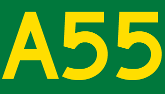
route_
route_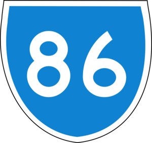
photo =
caption = Proposed .]
length = 781
direction = North-South
start = "'
finish =
est =
through = Dirranbandi, Hebel, Walgett, Coonamble, Gulargambone, Gilgandra, Mendooran, Dunedoo, Gulgong, Mudgee, Ilford, Ben Bullen, Cullen Bullen
route = "St George - NSW/Qld Border:"
exits = "'The Castlereagh Highway is a state
highway inNew South Wales , Australia, also extending some kilometres intoQueensland . It has been given the route number 55. The highway was recently extended pastGilgandra to include state route 86. As such the Castlereagh Highway starts just outside of Lithgow at a junction with theGreat Western Highway and runs in a north-westerly direction past Mudgee and Gulgong, joins with theGolden Highway for approximately 8 kilometres east of Dunedoo, then branches off in Dunedoo, continuing past Gilgandra until it reaches the Queensland border at Hebel. From there it continues to the town of St George where it terminates with theCarnarvon Highway .The
Bathurst-Ilford Road branches off in Ilford, while theBylong Valley Way branches off the Castlereagh Highway 2km north of Ilford.List of towns on the Castlereagh Highway
*Capertee
*Ilford
*Mudgee
*Gulgong
*Dunedoo
*Gilgandra
*Gulargambone
*Coonamble
*Walgett
*Hebel
*Dirranbandi
*St Georgeee also
*
Highways in Australia
*List of highways in New South Wales
*List of highways in Queensland References


Wikimedia Foundation. 2010.