- Coonamble, New South Wales
-
Coonamble
New South Wales
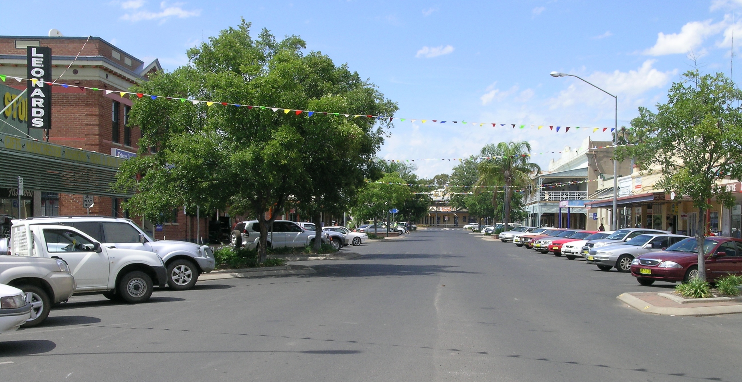
The main street of Coonamble, NSW
 Coonamble
Population: 2,549[1] Postcode: 2829 Coordinates: 30°57′S 148°24′E / 30.95°S 148.4°ECoordinates: 30°57′S 148°24′E / 30.95°S 148.4°E Elevation: 180 m (591 ft) Location: - 575 km (357 mi) NW of Sydney
- 164 km (102 mi) N of Dubbo
- 99 km (62 mi) N of Gilgandra
- 117 km (73 mi) NW of Coonabarabran
- 186 km (116 mi) SW of Narrabri
LGA: Coonamble County: Leichardt State District: Barwon Federal Division: Parkes Mean max temp Mean min temp Annual rainfall 26.6 °C
80 °F11.6 °C
53 °F500.4 mm
19.7 inCoonamble is a town on the central-western plains of New South Wales, Australia. It lies on the Castlereagh Highway north-west of Gilgandra. At the 2006 census, Coonamble had a population of 2,549.[1] It is the regional hub for wheat growing and sheep and wool.
The architecturally distinguished convent of the Brigidine nuns in Coonamble was dismantled and transported 600 kilometres to Pokolbin, where it now houses Peppers Convent resort.[2]
Although Coonamble had been a major sheep industry region in the 1980s to 2000, there has recently been an increasing interest in cattle rearing. The summers can have temperatures reaching up 40 degrees Celsius and in winter, there are days as cold as 0-1 degrees Celsius. Most recently Coonamble has gained media coverage due to their mass floods over Christmas 2009.
Contents
Schools
Coonamble has three schools: Coonamble Public School, St Brigids Catholic School and Coonamble High School.
Rodeo
Coonamble hosts an annual rodeo that is the largest campdraft/rodeo in the Southern Hemisphere around 1,000 people annually come to compete in the rodeo with an average of about 4,000 spectators.[3]
Radio station
Coonamble has their own local radio station, 2MTM 91.9FM, which has a wide variety of music from country to modern.
Sports
The Coonamble Bears play in the Castlereagh Cup rugby league competition. The Coonamble Rams play in the Western Plains Competition.
See also
References
- ^ a b Australian Bureau of Statistics (25 October 2007). "Coonamble (Urban Centre/Locality)". 2006 Census QuickStats. http://www.censusdata.abs.gov.au/ABSNavigation/prenav/LocationSearch?collection=Census&period=2006&areacode=UCL121600&producttype=QuickStats&breadcrumb=PL&action=401. Retrieved 12 July 2009.
- ^ Peppers Convent Hunter Valley Retrieved on 2 January 2009
- ^ http://www.coonamblerodeoandcampdraft.com.au/CoonambleRodeoandCampdraft/rodeo.html
External links
Categories:- Towns in New South Wales
- Towns in the Central West, New South Wales

Wikimedia Foundation. 2010.