- Nevado del Quindío
-
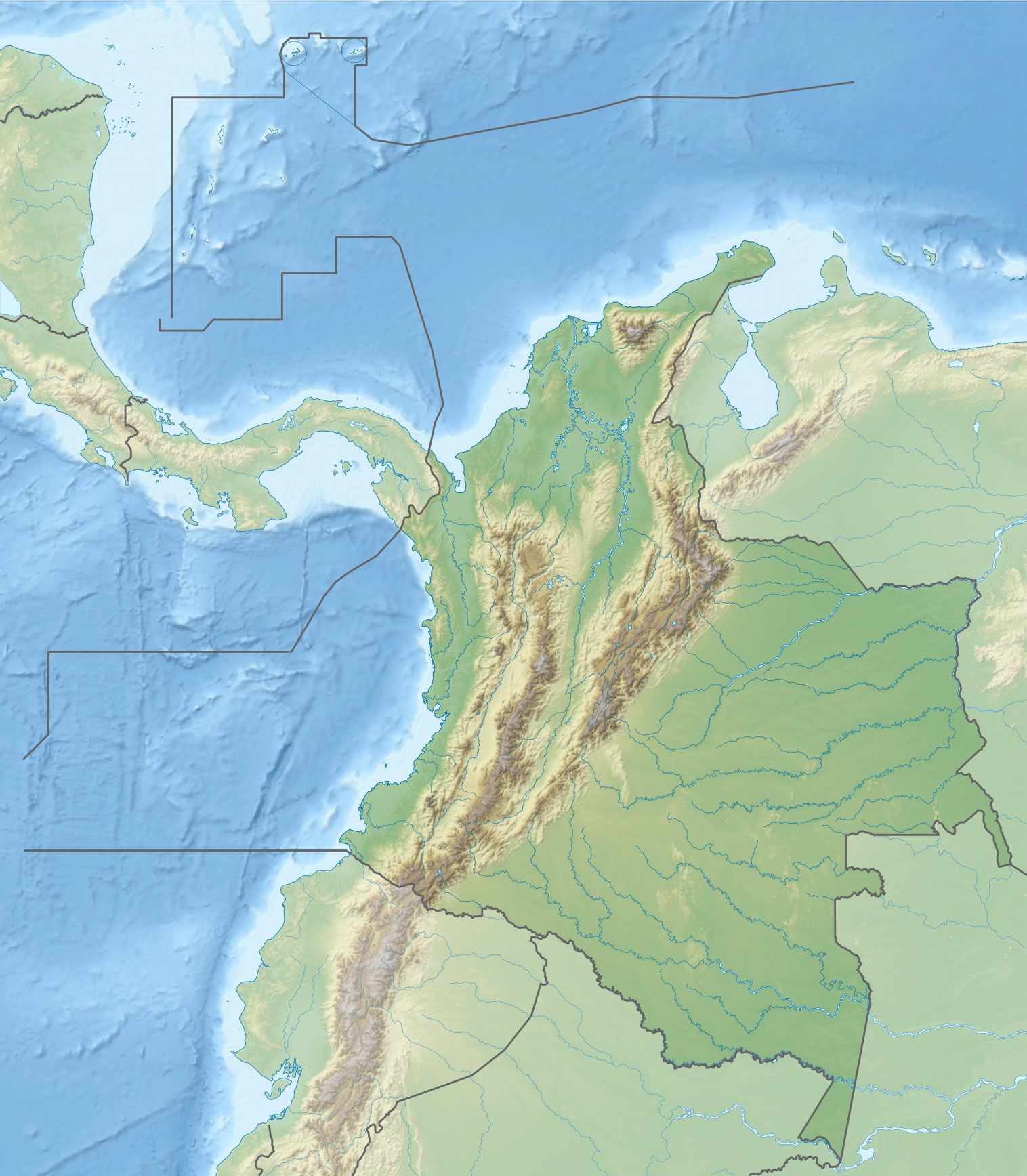
Nevado del Quindío Location of Nevado del Quindío, Colombia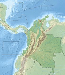
 Nevado del Quindío
Elevation 4,760 m (15,617 ft) [1] Location Location Risaralda/Quindío/Tolima, Colombia Range Cordillera Central, Andes Coordinates 4°42′56″N 75°23′18″W / 4.71556°N 75.38833°WCoordinates: 4°42′56″N 75°23′18″W / 4.71556°N 75.38833°W[1] Climbing Easiest route Cocora valley, Quindío The Nevado del Quindío is an inactive volcano located in the Central Cordillera of the Andes in central Colombia. The summit marks the tripoint of the departments of Risaralda, Quindío and Tolima, and is also the highest point of the departments of Risaralda and Quindío. The mountain is one of the highest peaks in the Los Nevados National Natural Park, which is a wildlife sanctuary. There are no historical records of any eruption.
The snow fields and glaciers in the mountain are decreasing in a progressive way, about ten percent annually since the first scientific measures in the late 1980s, presumably because of the global warming (see greenhouse effect for details).
The mountain offers beautiful landscapes, attracting touristic visits all the year. The lower part is a cloud forest habitat, rich in endemic species.
Botanist Alexander von Humboldt visited the area in 1801, describing new species such as the frailejón.
In popular culture
The postal service of Colombia AdPostal released a postal stamp featuring the Nevado del Quindío and Alexander von Humboldt to celebrate the anniversary of his visit.
References
- ^ a b "Nevado Quindio, Colombia". Peakbagger.com. http://www.peakbagger.com/peak.aspx?pid=8366. Retrieved 2008-09-30.
External links
- Parque Nacional Natural los Nevados website (in Spanish and English)
- "Parque Nacional Natural Los Nevados". SummitPost.org. http://www.summitpost.org/page/179838. Retrieved 2008-09-30.
- Richard S. Williams, Jr.; Jane G. Ferrigno (1999-01-24). "Ruiz-Tolima Volcanic Massif (Cordillera Central)". U.S. Geological Survey. http://pubs.usgs.gov/pp/p1386i/colombia/ruiz.html. Retrieved 2008-09-30.
Categories:- Mountains of Colombia
- Volcanoes of Colombia
- Glaciers of Colombia
- Biodiversity hotspots
Wikimedia Foundation. 2010.