- U.S. Route 331
infobox U.S. Route
article_route=331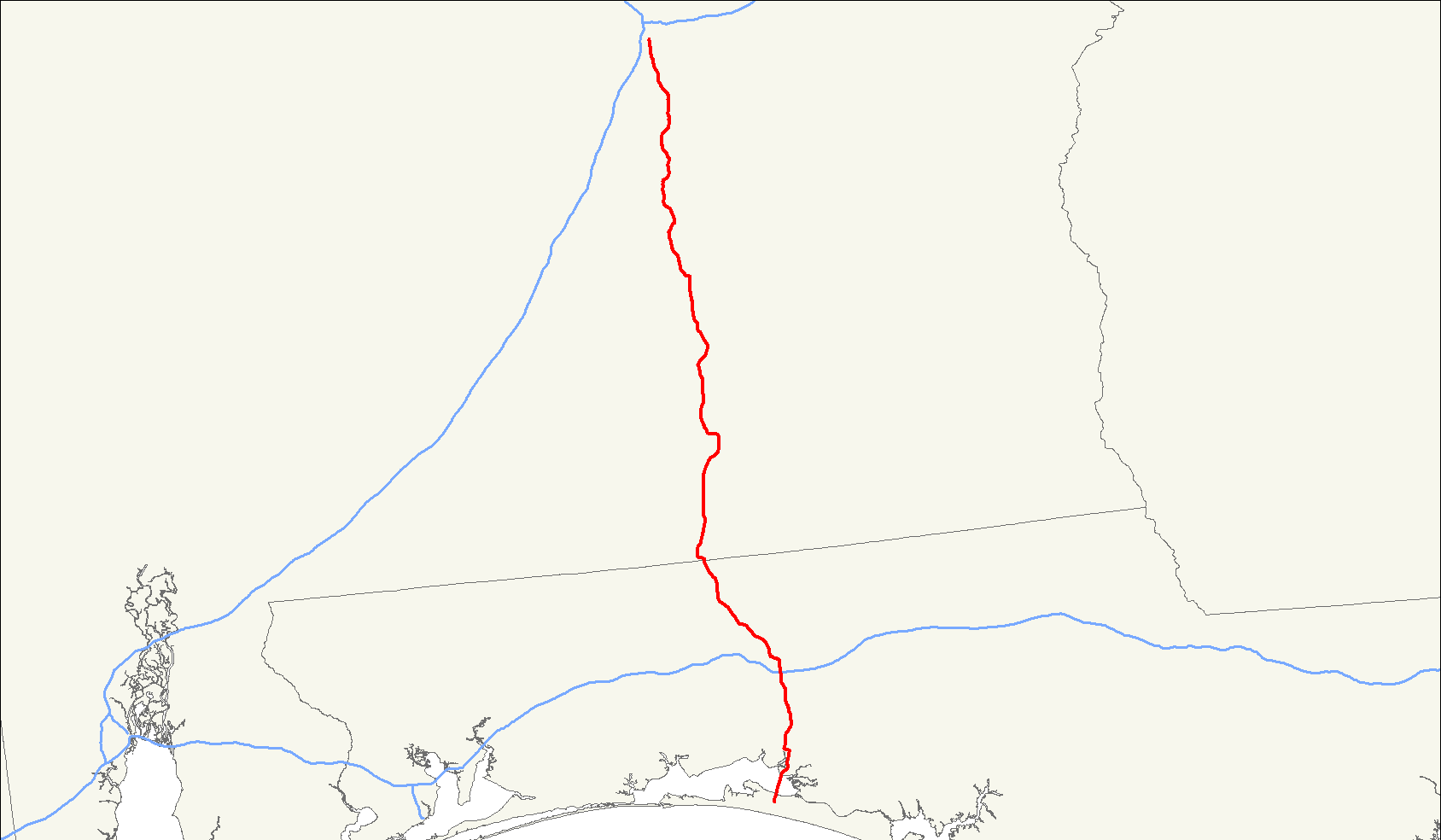
length_mi=151
length_ref= [http://www.us-highways.com/us1830.htm US Highways from US 1 to US 830] Robert V. Droz]
length_km=243
direction_a=South
direction_b=North
from=Jct|state=FL|US|98|FL|30|FL|83 at Santa Rosa Beach, FL
junction=Jct|state=FL|I|10 in DeFuniak Springs, FL
Jct|state=FL|US|90 in DeFuniak Springs, FL
Jct|state=AL|US|84 in Opp, AL
jct|state=AL|US|29 in Brantley, AL
to=U.S. Route 331 is a spur of
U.S. Route 31 . It currently runs for 151 miles (243 km) fromMontgomery, Alabama atU.S. Route 80 andU.S. Route 82 toSanta Rosa Beach, Florida east of Fort Walton Beach atU.S. Route 98 . UnlikeU.S. Route 131 ,U.S. Route 231 andU.S. Route 431 , U.S. 331 never intersects with its "parent" route,U.S. Route 31 ; the two routes come within four miles of each other in Montgomery.Route description
U.S. 331 begins with an intersection with U.S. 82 (South Boulevard) in Montgomery. It travels due south for 103 miles passing thru several small towns and communities such as Highland Home, Luverne, Opp, and Florala. Once reaching the Florida/Alabama state line it travels south-southeastward passing thru the towns of DeFuniak Springs and Freeport before terminating at an intersection with
U.S. Route 98 about 10 miles east of Sandestin.Florida
U.S 331 travels south from Paxton passing very near the highest elevation in the state of Florida thru rural country until reaching U.S. Route 90 just west of DeFuniak Springs. US 331 is co-signed with US 90 for about 3 miles eastward before US 331 turns south again. Construction has been completed just north of Freeport that re-routes US 331 around the eastern edge of the town and connecting with the current US 331 again at the intersection of State Road 20 just east of Freeport. From there US 331 continues south for about 10 miles to intersect with U.S. Route 98. Several times during the late 20th century, FLDOT considered extending US 331 southward to connect with State Road 30A near the beaches but local opposition effectively killed any plans from being enacted. In the 1980s, the existing drawbridge over the Choctawhatchee Bay was replaced with a concrete span with a higher clearance. The drawbridge was part of the Intracoastal Waterway system and travel delays due to barge traffic were common. The new bridge also enabled speedier access for US 331 as a hurricane evacuation route. In DeFuniak Springs, US 331 was once routed thru the downtown area and thru local streets until approximately 1970 when the road was relocated to a new four lane route just east of the downtown area that is still used today.
Alabama
U.S. 331 is paired with unsigned
Alabama State Route 9 throughout the state. North of Montgomery, State Route 9 is a signed route, leading from Montgomery to the Georgia state line in the northeastern part of the state. State Route 9 passes through Wetumpka, Goodwater, Ashland, Heflin, Piedmont and Centre. Milepost markers along State Route 9 north of Montgomery reflect the mileage of U.S. 331.U.S. 331 is also a segment of a four lane bypass around eastern portions of Opp.
U.S. 84 continues a southwestern segment of the bypass after U.S. 331 continues south towards Florala.U.S. 331 once had an infamous intersection located just south of Brantley that was referred to as the "dead right". U.S. 331 south travelers had to stop and turn right in order to continue southbound on U.S. 331 while the road straight ahead became Alabama State Route 141 south and traveled southeastward to the city of Elba. This intersection was removed in the late 1960's once a new stretch of U.S. 331 was opened slightly to the west of the old highway.
In the 1980's the 10 mile stretch of U.S. 331 between Luverne and Brantley was four laned. U.S. 331 is also co-signed with U.S. 29 between the two towns. In Luverne, U.S. 331 is co-signed with
Alabama State Route 10 between the center of town and the community of Rutledge just north of Luverne.U.S. 331 is also co-signed for approximately 1/2 mile in Florala with
Alabama State Route 55 . Lake Jackson State Park is located near the intersection of U.S. 331 and Alabama 55 south in Florala.U.S. 331 is co-signed with U.S. 84 along a portion of the bypass around Opp.
From Montgomery's South Boulevard southward to the community of Snowdoun, Alabama, U.S. 331 is now fourlaned. The proposed Montgomery outer loop is projected to cross U.S. 331 in this area connecting I-65 to the west to U.S. 231/U.S.82 and I-85 to the east and northeast.
In Montgomery, U.S. 331 used to occupy Norman Bridge Road south of South Boulevard until it connected to the existing U.S. 331 about 2 miles south of South Boulevard. However, by 1970 a four lane stretch of U.S. 331 was opened between the connection of Norman Bridge Road/U.S. 331 and South Boulevard and U.S. 331 was re-routed onto this road. At one time, U.S. 331's northern terminus existed in downtown Montgomery with an intersection with U.S. 80 near the state capitol. This routing used Court Street as well as Perry Street.
The routing of all of the U.S. Highways in the Montgomery area has changed throughout the years several times and now no U.S. Highways exist in the downtown area. U.S. 331 was truncated at South Boulevard in the early 1970's and that routing has not changed since. There was also a Business U.S. 331 at one time as well but this route was later dropped as well.
U.S. 331 is still considered a major route for tourists and travelers headed to the NW Florida beaches. However, several alternate routes have been developed over the years which has lessened the amount of traffic on this route. These alternates include U.S. 231,
Alabama State Route 167 , and recentlyAlabama State Route 55 from Georgiana thru Andalusia to Baker and Crestview. With the advent of these alternate routes which are speedier due to the conditions of the roads as well as passing thru or near fewer towns the desire to widen and four lane U.S. 331 from Montgomery southward has waned.Some of the small south Alabama communities along U.S. 331 gained notorious reputations as speedtraps over the years. Speed limits would drastically change over a very short distance and local police were usually waiting in concealed locations to pounce upon unsuspecting travelers. This reputation as well as developing alternative routes led to fewer and fewer travelers using U.S. 331 as a beach route.
Major intersections
*U.S. Route 98 at
Santa Rosa Beach, Florida
*State Road 20 at Freeport
*Interstate 10 atDeFuniak Springs, Florida
*U.S. Route 90 atDeFuniak Springs, Florida
*Alabama State Route 52 andAlabama State Route 55 in Florala
*U.S. Route 84 atOpp, Alabama
*U.S. Route 29 from Brantley toLuverne, Alabama
*Alabama State Route 10 in Luverne
*Alabama State Route 97 in Highland Home
*U.S. Route 80 andU.S. Route 82 inMontgomery, Alabama References
Wikimedia Foundation. 2010.