- New York State Route 331
-
NYS Route 331
Route information Maintained by Montgomery County and NYSDOT Length: 3.10 mi[2] (4.99 km) Existed: 1930[1] – present Major junctions South end: CR 57 in St. Johnsville North end:  NY 29 in Oppenheim
Location Counties: Montgomery, Fulton Highway system Numbered highways in New York
Interstate • U.S. • N.Y. (former) • Reference • County←  NY 330
NY 332  →
→New York State Route 331 (NY 331) is a short state highway in the U.S. state of New York. The route begins at a junction with County Route 57 south of Crum Creek in the Montgomery County town of St. Johnsville and ends at NY 29 in the Oppenheim hamlet of the same name. It is a two-lane highway its entire length. The southernmost stretch is steep and windy.
Contents
Route description
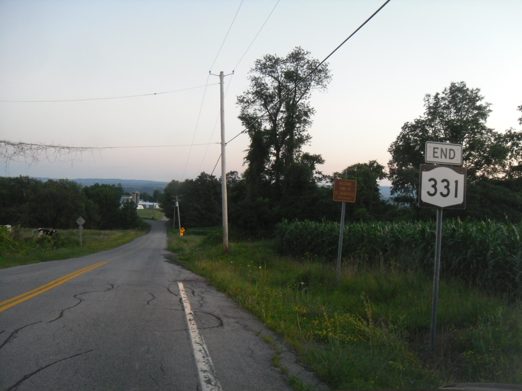
 NY 331 at its southern terminus, County Route 57 in St. Johnsville
NY 331 begins just south of the Montgomery–Fulton county line at the junction of Kennedy and Crum Creek (County Route 57) Roads in the town of St. Johnsville. The highway heads northward and enters Fulton County, where it intersects with CR 108. Route 331 begins to head up Twin Church Hill. As the highway heads farther, it intersects with another county road, CR 150. Route 331 enters the hamlet of Oppenheim and terminates at an intersection with NY 29.[3]
History
NY 331 was assigned as part of the 1930 renumbering of state highways in New York to its current alignment and has not been substantially altered since.[1][4] The short piece of NY 331 in Montgomery County is maintained by the county as part of County Route 57.[5]
Major intersections
County Location Mile[2] Destinations Notes Montgomery Town of St. Johnsville 0.00 Crum Creek Road (CR 57) Fulton Oppenheim 3.10 NY 29Hamlet of Oppenheim 1.000 mi = 1.609 km; 1.000 km = 0.621 mi References
- ^ a b Standard Oil Company of New York (1930). Road Map of New York (Map). Cartography by General Drafting.
- ^ a b "2008 Traffic Volume Report for New York State" (PDF). New York State Department of Transportation. June 16, 2009. p. 215. https://www.nysdot.gov/divisions/engineering/technical-services/hds-respository/NYSDOT%20TVR%202008%20by%20Route.pdf. Retrieved January 30, 2010.
- ^ Google, Inc. Google Maps – overview map of NY 331 (Map). Cartography by Google, Inc. http://maps.google.com/maps?sourceid=navclient&ie=UTF-8&rlz=1T4ADBF_enUS232US232&q=from%3A%20Crum%20Creek%20Rd%20%4043.032540%2C%20-74.716730%20to%3A%20RT-331%20%4043.072218%2C%20-74.692718&um=1&sa=N&tab=wl. Retrieved April 29, 2008.
- ^ State of New York Department of Transportation (January 1, 1970) (PDF). Official Description of Touring Routes in New York State. http://www.greaternyroads.info/pdfs/state70.pdf. Retrieved January 3, 2010.
- ^ New York State Department of Transportation (1983). Oppenheim Digital Raster Quadrangle (Map). 1:24,000. http://www.nysgis.state.ny.us/gisdata/quads/drg24/dotpreview/index.cfm?code=p41. Retrieved June 2, 2010.
External links
Categories:- State highways in New York
- Transportation in Fulton County, New York
- Transportation in Montgomery County, New York

Wikimedia Foundation. 2010.