Georgia State Route 331

Georgia State Route 331

Infobox road
state=GA
type=
route=331


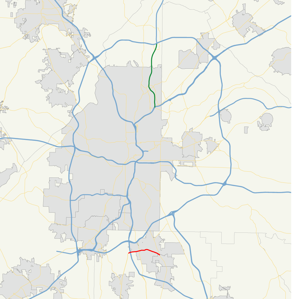
alternate_name=Forest Parkway
length_mi=3
length_ref= [http://www.dot.state.ga.us/DOT/plan-prog/transportation_data/400reports/2002/dpp444_2002.pdf]
length_round=0
established=
direction_a=West
direction_b=East
starting_terminus=S.R. 85 west of Forest Park
junction=Forest Park
ending_terminus=S.R. 54 near Lake City
previous_route=330
next_route=332

State Route 331 is a Georgia state route in northern Clayton County. Its western terminus is at S.R. 85 just west of Interstate 75 exit 237, from which it proceeds east through Forest Park for approximately 2.8 miles to an intersection with S.R. 54 near Lake City, where it ends.

Also known as Forest Parkway, S.R. 331 exists primarily to facilitate traffic to and from the Georgia State Farmers Market located in Forest Park and military traffic to and from Fort Gillem. In addition, it provides most of the access between Georgia 85 and I-75 after ramps had to be removed in the mid-1970s to accommodate the reconstructed interchange with Interstate 285.

Until the mid-1990s, S.R. 331 east of Old Dixie Road (U.S. 19/U.S.41/S.R. 3) was very closely paralleled by S.R. 160.

See also

* State Route 85
* State Route 160

External links

* [http://gahighways.topcities.com/ga331_profile.htm Georgia 331 at Georgia Highways]


Wikimedia Foundation. 2010.

Игры ⚽ Нужно сделать НИР?

Look at other dictionaries:

  • Georgia State Route 160 — Infobox road state=GA type= route=160 length mi=5.7 length ref=Fact|date=February 2007 length round=1 established= direction a=West direction b=East starting terminus=U.S. 19/41/S.R. 3 west of Forest Park junction=Forest Park ending terminus=U.S …   Wikipedia

  • Georgia State Route 332 — Infobox road state=GA type= route=332 length mi=11.26 length ref= [http://www.dot.state.ga.us/DOT/plan prog/transportation data/400reports/2002/dpp444 2002.pdf] length round=2 established= direction a=South direction b=North starting terminus=… …   Wikipedia

  • Georgia State Route 330 — Infobox road state=GA type= route=330 length mi=6.06 length ref= [http://www.dot.state.ga.us/DOT/plan prog/transportation data/400reports/2002/dpp444 2002.pdf] length round=2 established= direction a=West direction b=East starting terminus=… …   Wikipedia

  • Alabama State Route 52 — Infobox road state=AL type=AL route=52 length mi=84 length ref= [ [http://maps.yahoo.com/broadband#mvt=m q4=Columbia,%20AL q3=Dothan,%20AL q2=Geneva,%20AL q1=Opp,%20AL trf=0 lon= 85.683746 lat=31.162284 mag=9 Yahoo! Maps, Driving Directions, and… …   Wikipedia

  • Alabama State Route 10 — Infobox road state=AL type=AL route=10 length mi=232 length ref= [ [http://colepages.com/routes125.html Highway Route Info Routes 1 25 ] ] length round= established= direction a=West direction b=East starting terminus= junction= ending terminus=… …   Wikipedia

  • Alabama State Route 10 — Basisdaten Gesamtlänge:  232 mi/ 373 km Anfangspunkt:  …   Deutsch Wikipedia

  • U.S. Route 331 — infobox U.S. Route article route=331 length mi=151 length ref= [http://www.us highways.com/us1830.htm US Highways from US 1 to US 830] Robert V. Droz] length km=243 direction a=South direction b=North from=Jct|state=FL|US|98|FL|30|FL|83 at Santa… …   Wikipedia

  • Alabama State Route 9 — Infobox road state=AL type=SR route=9 alternate name=U.S. Highway 331 (south of Montgomery) length mi=273.069 length ref=Alabama Department of Transportation, [http://www.dot.state.al.us/NR/rdonlyres/7B15B300 359D 413A A7FA… …   Wikipedia

  • List of highways numbered 331 — Route 331, or Highway 331, may refer to: Canada Nova Scotia Route 331 United States U.S. Route 331 (former) Florida State Road 331 …   Wikipedia

  • Georgia (U.S. state) — State of Georgia redirects here. For TV series, see State of Georgia (TV series). For the sovereign state, see Georgia (country). State of Georgia …   Wikipedia

Share the article and excerpts

Direct link
Do a right-click on the link above
and select “Copy Link”