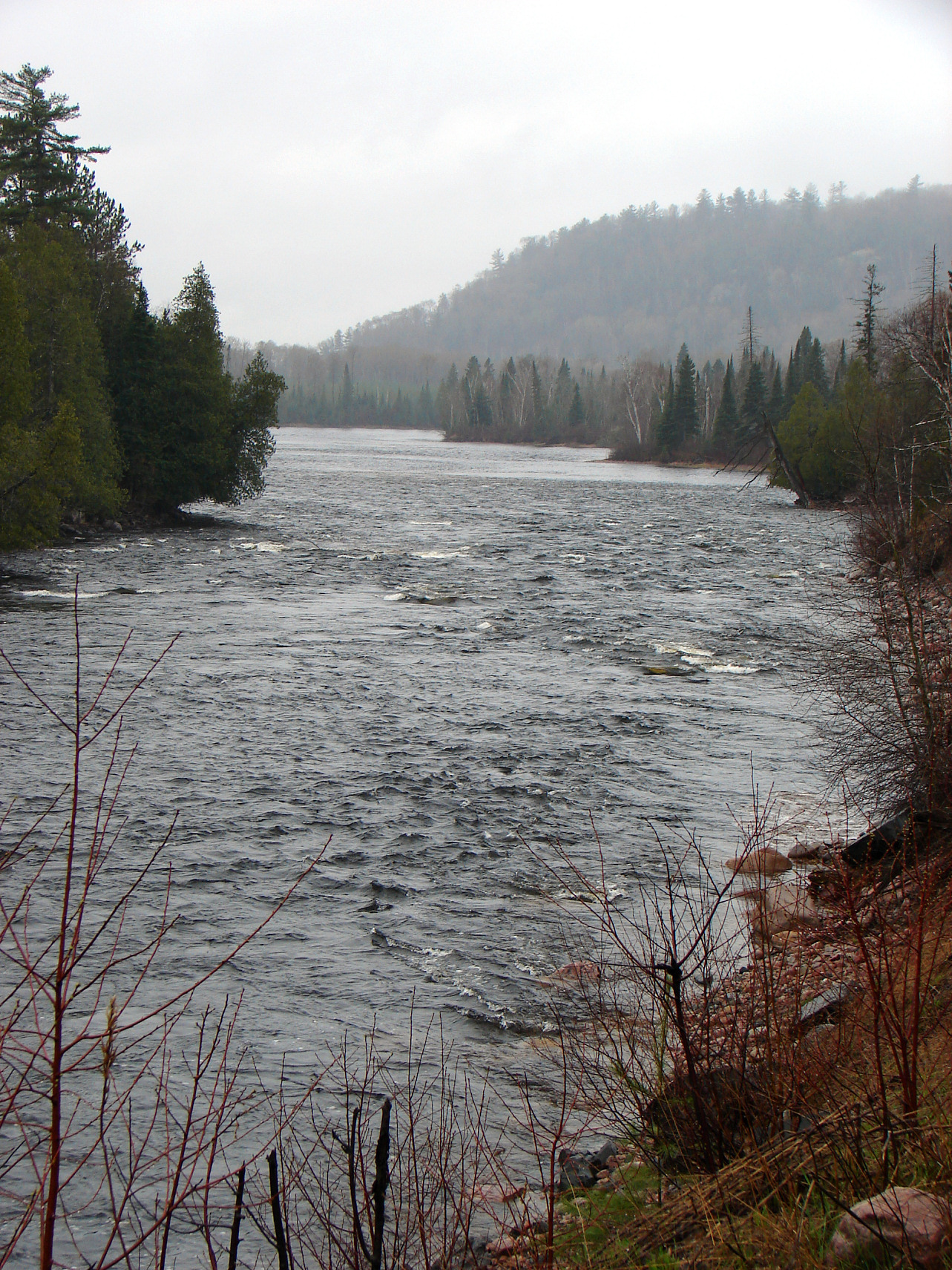
- Mississagi River
-
Mississagi River River 
Name origin: misi-zaagi, "river with a wide mouth" in Ojibwe Country Canada Province Ontario District Algoma, Sudbury Tributaries - left Sharpsand River,
Rapid River,
Snowshoe Creek,
Litte White River- right Abinette River,
Cypress River,
Wenebegon River,
Aubinadong River,
Bolton RiverSource Unnamed lake - location Unorganized, North Part, Sudbury District - elevation 520 m (1,706 ft) - coordinates 47°17′57″N 82°39′34″W / 47.29917°N 82.65944°W Mouth Lake Huron - location Blind River, Algoma District - elevation 176 m (577 ft) - coordinates 46°10′29″N 83°0′58″W / 46.17472°N 83.01611°W Length 266 km (165 mi) Basin 9,250 km2 (3,571 sq mi) Discharge - average 11 m3/s (388 cu ft/s) 
 Location of the mouth of the Mississagi River in Ontario
The Mississagi River is a river in Algoma and Sudbury Districts, Ontario, Canada, that originates in Sudbury District and flows 266 kilometres (165 mi) to Lake Huron at Blind River, Algoma District.
Contents
Etymology
The river's name comes from the Ojibwe misi-zaagi, "river with a wide mouth".
Hydrology
The Mississagi River begins in a small unnamed lake in Sudbury District and flows south 8 kilometres (5 mi) from that point to the border of Algoma District, then southeast through a nort-east corner of the district, before returning once again to Sudbury District at White Owl Lake, from which it flows into Mississagi Lake at an elevation of 457 metres (1,499 ft).
The river then turns south and heads to Kettle Lake, the furthest point east it reaches, before continuing south and entering Mississagi River Provincial Park at Upper Bark Lake at an elevation of 446 metres (1,463 ft). The river then continues south and crosses back into Algoma District, where it remains for the rest of its journey to Lake Huron, and enters the large "L"-shaped Bark Lake. It then heads west through Hellgate Rapids, takes in its right tributary the Abinette River at an elevation of 411 metres (1,348 ft), splits into two channels to form an island at 46°56′22″N 82°48′05″W / 46.93944°N 82.80139°W, recombines at 46°55′55″N 82°48′52″W / 46.93194°N 82.81444°W, and enters the large Rocky Island Lake at an elevation of 410 metres (1,345 ft), where the right tributary Cypress River enters. The Mississagi River then flows into Aubrey Lake, partially formed by the Aubrey Falls Generating Station (hydro) and dam, and where the Wenebegon Rivers joins. Not all the water is funnelled into the station, however; some continues to form the Aubrey Falls.
The river turns south and the right tributary Aubinadong River enters, followed by two left tributaries, the Sharpsand River and the Rapid River in quick succession, and further on, another left tributary, Snowshoe Creek from Wakomata Lake. Then it reaches Tunnel Lake, formed by the George W Rayner Generating Station and Wells Generating Station and associated dams. The river then heads southeast where the left tributary Little White River enters, and continues to Red Rock Lake, created by the Red Rock Falls Generating Station and dam, over the Shino Rapids, takes in the right tributary Bolton River, then reaches Lake Huron.
The river's delta is a "bird's foot" delta, a type not commonly found on the Great Lakes. The Mississippi River in Louisiana has a bird's foot delta.
History
The Ojibwa people used the river to travel between the forests of the interior and Lake Huron. In 1799, the North West Company built a fur trading post at the mouth of the river. This post was closed in 1900. During the second half of the 19th century, the river was used to transport logs to sawmills at Blind River.
Communities
- Blind River
- Iron Bridge
- Wharncliffe, Ontario
Economy
Ontario Hydro constructed dams and four hydroelectric generating stations on the Mississagi River, Rayner G.S., Wells G.S., Red Rock Falls G.S., and Aubrey Falls G.S. between 1950 and 1970, which today are operated by Brookfield Asset Management. Historically, mining and forestry played a large role, but today tourism is the primary activity along the river.
Highway 129 follows the river from Wharncliffe until the river turns east at Aubrey Falls.
Ecology
The lower river is an important spawning ground for lake sturgeon.
Aubrey Falls Provincial Park is on the river at Aubrey Falls. Mississagi River Provincial Park encompasses the upper reaches of the river including Mississagi Lake. Mississagi Provincial Park is on the Boland River, a tributary of the Little White River. Mississagi Delta Provincial Nature Reserve Park encompasses the river's delta mouth. The Voyageur Hiking Trail follows the lower portion of the river near Iron Bridge.
Tributaries
- Abinette River
- Cypress River
- Wenebegon River
- Aubinadong River
- Sharpsand River
- Rapid River
- Little White River
- Bolton River
References
- "Toporama - Topographic Map Sheets 41J3, 41J5, 41J6, 41J11, 41J12, 41J14, 41J15, 41J16, 41O1, 41O2, 41O7". Atlas of Canada. Natural Resources Canada. http://atlas.nrcan.gc.ca/site/english/maps/topo/map. Retrieved 2010-01-01.
- "Mississagi River". Canada's Digital Collections. Library and Archives Canada. http://epe.lac-bac.gc.ca/100/205/301/ic/cdc/Mississagi/default.htm. Retrieved 2010-01-01.
Categories:- Geography of Algoma District, Ontario
- Geography of Sudbury District, Ontario
- Rivers of Ontario
- Hudson's Bay Company trading posts
- Tributaries of Lake Huron

Wikimedia Foundation. 2010.