- Middleton, Northamptonshire
-
Coordinates: 52°30′03″N 0°45′50″W / 52.5009°N 0.7639°W
Middleton 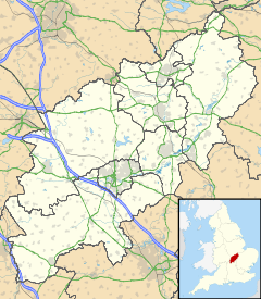
 Middleton
Middleton shown within NorthamptonshirePopulation 328 OS grid reference SP840899 District Corby Shire county Northamptonshire Region East Midlands Country England Sovereign state United Kingdom Post town Market Harborough Postcode district LE16 Dialling code 01536 Police Northamptonshire Fire Northamptonshire Ambulance East Midlands EU Parliament East Midlands UK Parliament Corby List of places: UK • England • Northamptonshire Middleton is a village and civil parish in the county of Northamptonshire close to the county boundary with Leicestershire. At the time of the 2001 census, the parish's population was 328 people.[1]
Contents
Geography
Middleton is just to the west of the town of Corby, with Cottingham and East Carlton nearby. There is a very steep hill known locally simply as "The Hill". The village has a Leicestershire postcode.
Amenities
There is a pub, The Red Lion. The Jurassic Way waymarked long distance footpath passes through the village.
References
- ^ Office for National Statistics: Middleton CP: Parish headcounts. Retrieved 14 November 2009
External links
Categories:- Villages in Northamptonshire
- Northamptonshire geography stubs

Wikimedia Foundation. 2010.