- Chale Green
-
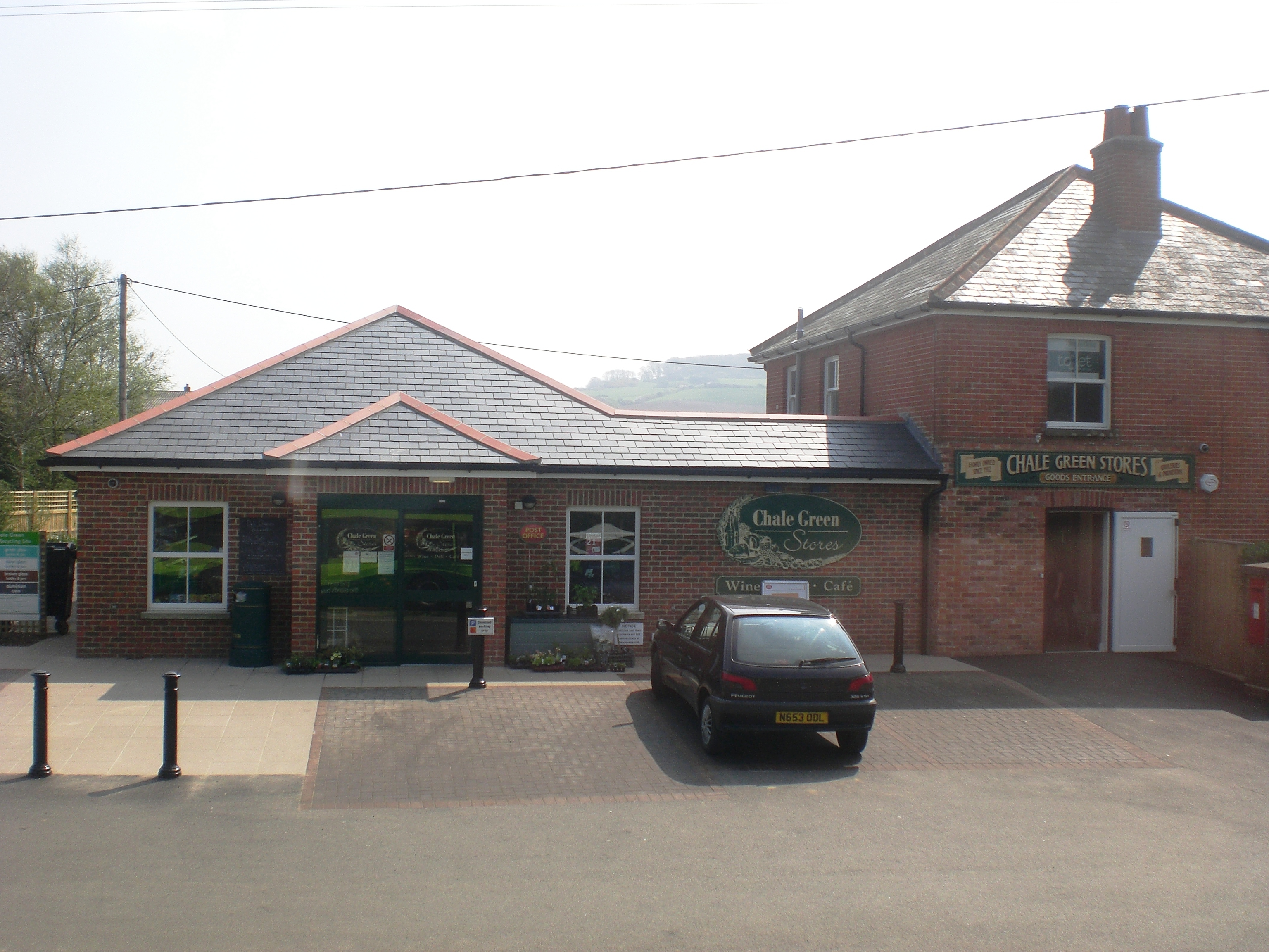
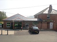 Chale Green Stores located opposite the village green.
Chale Green is a hamlet on the B3399 road about a mile inland from the village of Chale on the Isle of Wight. Officially it is part of Chale.
Contents
History
Originally Chale Green was known as Stroudgreen. There is a Stroud Green Farm north of Chale Green. By 1870, around Chale Green was a wheelwright, carpenter, chimney sweep business, The New Inn tavern, a blacksmith, a grocer and a shoemaker. Sprake's Brewery was founded in Chale Green in 1833. A sawpit existed in the early 20th century in Chale Green. The Star Pub in Chale Green recently closed.
Chale Green was part of Charles Seely's property in the 19th century. Charles Seely built the local Military Road in the 1860s to bolster the defense of the coastal region. This was meant to allow the deployment of troops along the clifftops in case of an invasion. Before this the villages in the Back of the Wight were conected only by small roads reaching over the downs and through small gaps like Shorwell Shute.
Spanners Close, the largest residential development in the Chale area was built to the west of Chale Green in the late 1970s. It consists of 70 housing units.[1] In December 2009 it was announced that the Spanners Close estate was to receive a £500,000 cash injection to install renewable green technology in the area. Chale Green is one of ten communities chosen to receive a cash grant at this stage after a successful application to the Department of Energy and Climate Change. It is hoped the project will help lead 10,000 people out of fuel poverty.[2]
Today
Public transport is provided by Southern Vectis buses operating on route 6 between Ventnor and Newport bus station.[3]
Chale Green is home to the Chale Kite Flyers, an informal group of kite flyers.
References
- ^ "History of Chale". www.chale.org.uk. http://www.chale.org.uk/chale/history.htm. Retrieved 2009-04-13.
- ^ "Cash injection for low-carbon community in Chale". Isle of Wight County Press. http://www.iwcp.co.uk/news/news/cash-injection-for-lowcarbon-community-in-chale-30370.aspx. Retrieved 2009-12-22.
- ^ "Southern Vectis route 6". Southern Vectis. http://www.islandbuses.info/r6.shtml. Retrieved 2009-04-13.
External links
Ceremonial county of Isle of Wight Isle of Wight Portal Unitary authorities Major settlements Rivers Topics Coordinates: 50°37′08″N 1°19′11″W / 50.61889°N 1.31972°W
Categories:- Villages on the Isle of Wight
- Isle of Wight geography stubs
Wikimedia Foundation. 2010.