- Black Fork Mohican River
Infobox River
river_name = Black Fork Mohican River
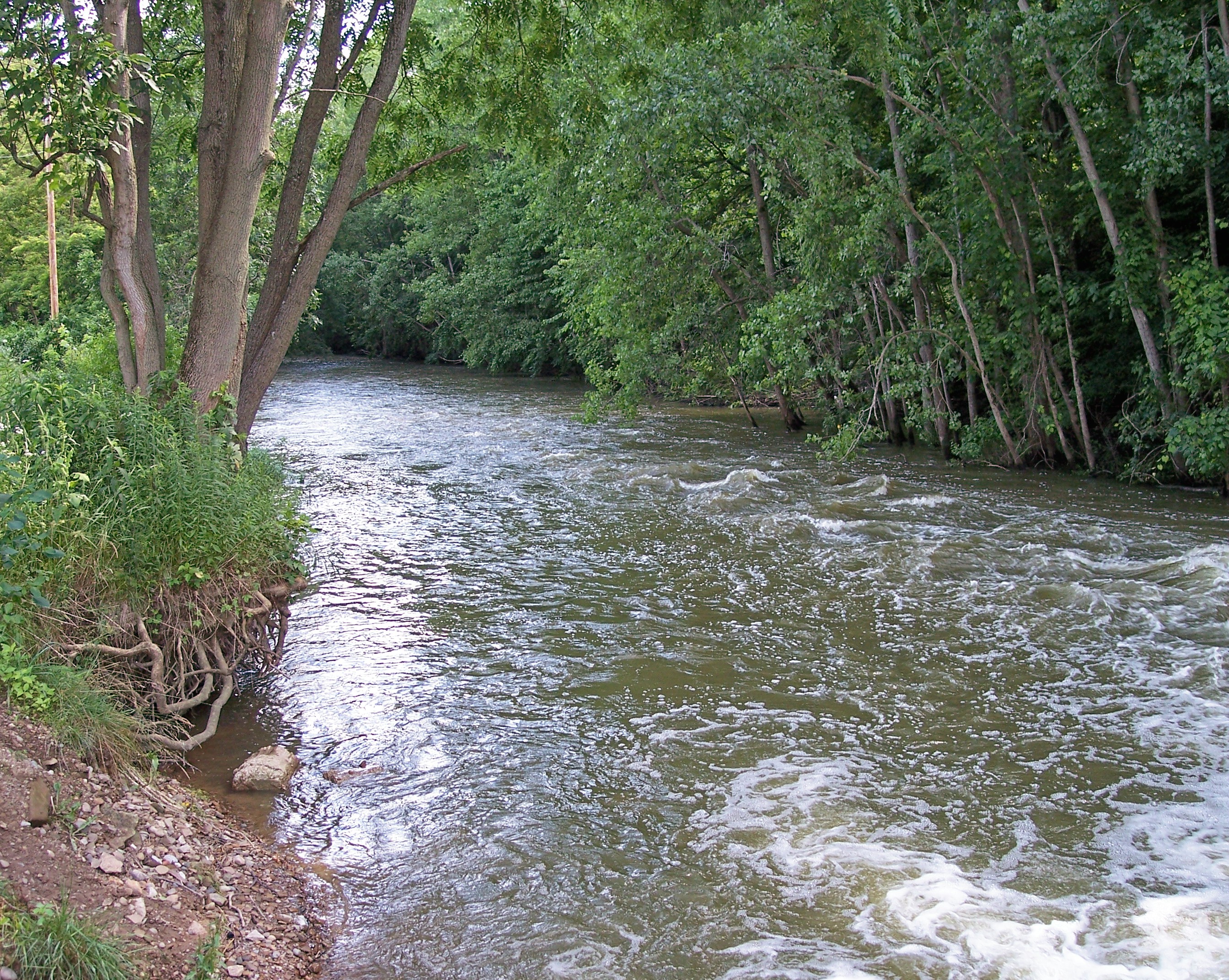
caption = The Black Fork downstream of the dam ofCharles Mill Lake inAshland County, Ohio
origin = coord|40|47|18|N|82|36|20|W|,Gnis|1068192|Black Fork Mohican River]Richland County, Ohio
mouth = coord|40|36|30|N|82|15|14|W|,, nearLoudonville, Ohio
basin_countries =United States
length = 58.4 mi (94 km)
elevation =
mouth_elevation =
discharge =
watershed = 351 mi² (909 km²) The Black Fork is a principaltributary of theMohican River , 58.4 miles (94 km) long, Ohio Department of Natural Resources. [http://www.dnr.state.oh.us/streams/ "A Guide to Ohio Streams."] [http://www.dnr.state.oh.us/streams/chapter10.pdf Chapter 10: Major Ohio Watersheds (pdf)] ] in north-centralOhio in theUnited States . Via the Mohican, Walhonding, Muskingum and Ohio Rivers, it is part of the watershed of theMississippi River , draining an area of 351 square miles (909 km²). According to theGeographic Names Information System , it has also been known historically as "Armstrongs Creek" and "Black Fork Creek."The Black Fork rises about 7 miles (11 km) west of Mansfield in Richland County, and initially flows northward through the city of Shelby, then eastward across northern Richland County before turning southeast for the remainder of its course through eastern Richland and southern Ashland Counties, past the towns of Perrysville and Loudonville. It joins the Clear Fork in Ashland County to form the Mohican River, about 2 miles (3 km) southwest of Loudonville.
DeLorme (1991). "Ohio Atlas & Gazetteer". Yarmouth, Maine: DeLorme. ISBN 978-0-89933-233-8.]A
U.S. Army Corps of Engineers dam in Ashland County, completed in 1936, causes the Black Fork to formCharles Mill Lake . [ [http://www.lrh.usace.army.mil/projects/lakes/cmb/ U.S. Army Corps of Engineers page for Charles Mill Lake] ]ee also
*
List of Ohio rivers References
Wikimedia Foundation. 2010.