- Ohio State Route 63
-
State Route 63
Route information Maintained by ODOT Length: 11.74 mi[1] (18.89 km) Existed: 1926 – present Major junctions West end:  SR 4 in Le Sourdsville
 I-75 near Monroe
East end: 

 US 42/SR 48/SR 123 in Lebanon
Location Counties: Butler, Warren Highway system Ohio highways
Interstates • U.S. Routes • State Routes←  SR 61
SR 61SR 64  →
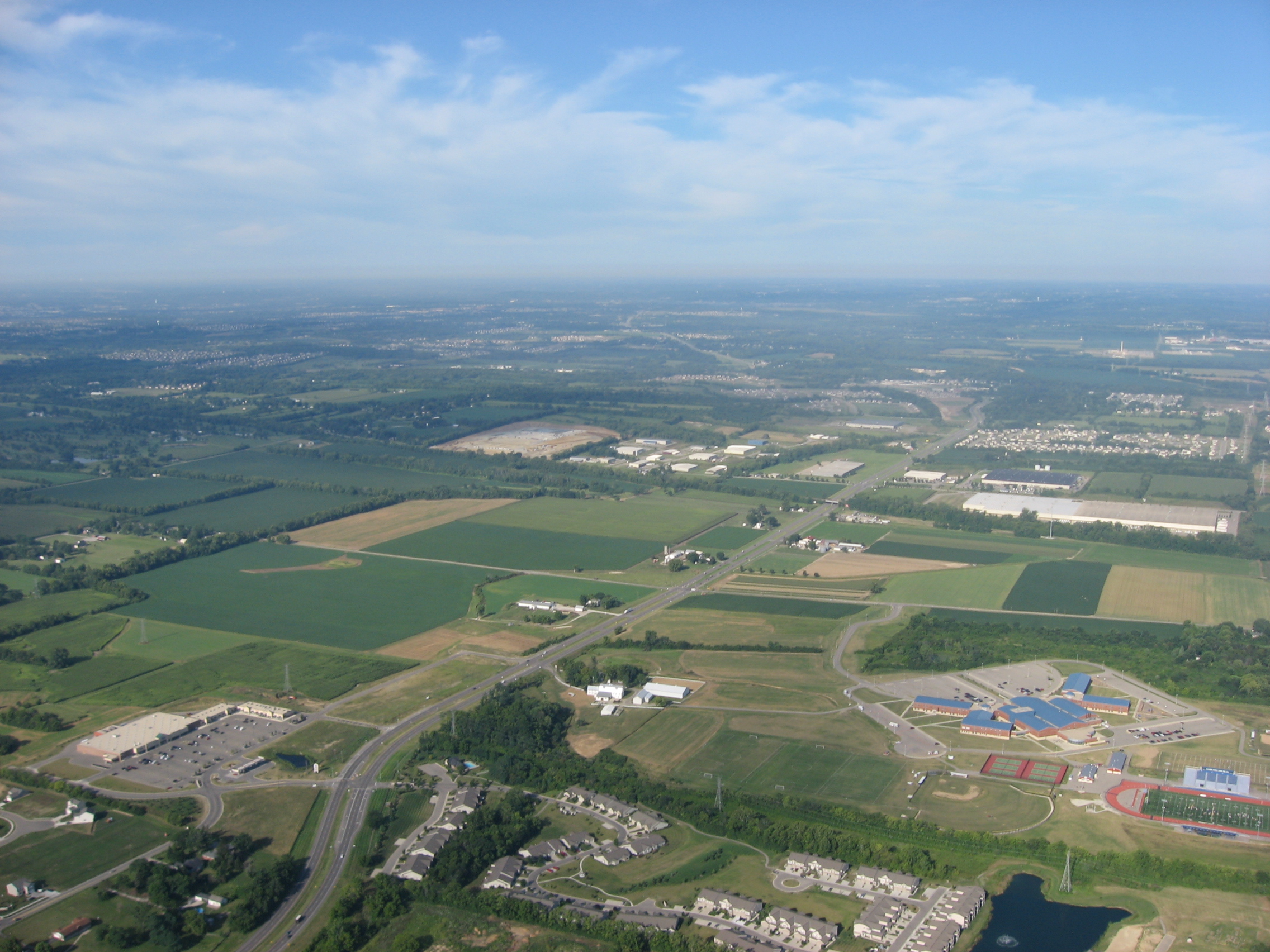
→ State Route 63 toward its western end
Ohio State Route 63 runs from Ohio State Route 4 on the west side of Monroe, Ohio and ends in Lebanon, Ohio. This road runs through what was once Union Village, a large historical Shaker settlement.
Route 63 is signed as Main Street on its eastern portion, between I-75 and downtown Lebanon. Route 63 is signed as Hamilton-Lebanon Road on its western portion, between I-75 and SR 4. Before the construction of the Butler County Veterans Highway, Route 63 in combination with Route 4 provided the quickest connection between Lebanon and Hamilton.
References
- ^ Mileages retrieved from Technical Services Straight Line Diagrams unless otherwise noted.
Categories:- State highways in Ohio
- Transportation in Butler County, Ohio
- Transportation in Warren County, Ohio

Wikimedia Foundation. 2010.