- Kenmore (MBTA station)
Infobox Station
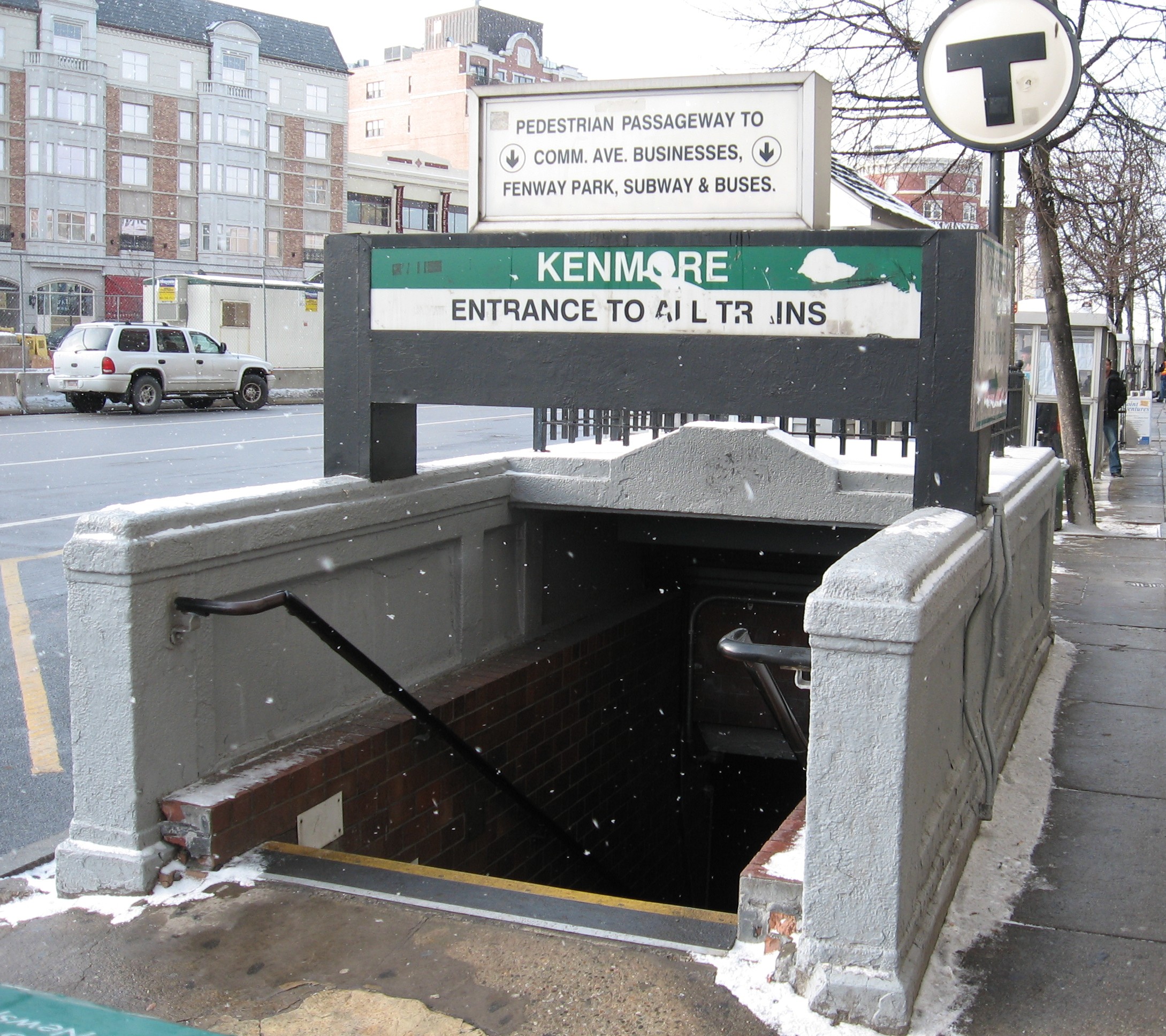
name=Kenmore
image_size=300
image_caption=Entrance to Kenmore Station
address=500 Commonwealth Avenue @ One Brookline Avenue, Boston
coordinates = coord|42|20|56.13|N|71|5|44.19|W|display=inline,title|type:railwaystation
line=
other=
platform=
parking=
bicycle=eight spaces
passengers=1.978 million
pass_year=1997
pass_percent=0
opened=October 23, 1932
rebuilt=
ADA=
code=
owned=Massachusetts Bay Transportation Authority
zone=
services=Kenmore (also known as Kenmore Square) is an dual-island platform
rapid transit station in theKenmore Square area ofBoston, Massachusetts . The station, owned and managed by theMassachusetts Bay Transportation Authority , lies on the Green Line's "B," "C," and "D" branches. It is located at the intersection of four major road and rail transport arteries: Commonwealth, Beacon, and Brookline Avenues, andBoylston Street . [http://www.google.com/maps?ie=UTF8&ll=42.348728,-71.096596&spn=0.005408,0.012199&z=17&om=0 Kenmore station map] "Google Maps" Retrieved2008-02-02 ] The station is five stops and a twelve minute journey from Park Street, the hub of the Green and Red Lines.ervices
The station serves as the branching off point for the B, C, and D trains on the Green Line. While all trains follow the same route going inbound (with the exception of the E train which doesn't join the others until Copley Square), going outbound they split at Kenmore branching off into different above-ground routes.
Nearby attractions
Kenmore station is the primary station for passengers wishing to go to
Fenway Park , located just one block away. However, many travel to Fenway station despite its longer distance from the stadium.Incidents and accidents
The station was closed for two months in 1996, after the Muddy River overflowed its banks, completely submerging the platform and some of the mezzanine.cite news | author = Julie Masis | url =http://www.boston.com/news/local/articles/2007/08/26/rivers_revival_is_more_than_a_pipe_dream/ | title = River's revival is more than a pipe dream | publisher =
The Boston Globe | accessdate = 2007-08-29] cite web |url=http://members.aol.com/netransit8/flood/flood.html |title=The Green Line Flood of 1996 |accessdate=2007-08-29 |author=Scott Moore |coauthors=George Chiasson, Jonathan Belcher |format=HTML |work=NETransit]Fares
Until
January 1 ,2007 , Kenmore was the last Green Line station heading outbound where passengers were required to pay a fare upon boarding, as boarding outbound trains at surface stops was free. Passengers now pay fares at surface stops regardless of whether they are going inbound or outbound. It was for this reason that fans going home from the game to theNewton Highlands region (serviced by the D) were advised to use the 'Fenway' stop.2005-2009 accessibility improvements
Since 2005, Kenmore has been undergoing re-construction in order to meet ADA accessibility requirements. Despite the almost constant work, the station has remained open. Major works include raised platforms for level boarding with Green Line trains, elevators and escalators, , a new bus shelter with a transparent semi-arched canopy, and a new glass canopy will be placed in the middle of the intersection. The
Boston Globe reported that there were severe delays in construction and that the construction would be completed by November 2007;cite news | author = Mac Daniel | url = http://www.boston.com/news/local/articles/2007/03/04/kenmore_t_work_now_in_extra_innings/ | title = Kenmore T work now in extra innings| publisher =The Boston Globe | accessdate = 2007-04-17] work is still ongoing as of September 2008 with no end in sight.Bus connections
*MBTABus|8 Harbor Point/UMass via South End Medical Area & Dudley Station
*MBTABus|19 Fields Corner Sta. via Grove Hall, Dudley Station & Ruggles Sta.
*MBTABus|57 Watertown Yard via Newton Corner & Brighton Center (NO free transfer toGreen Line "A" Branch replacement service)
*MBTABus|60 Chestnut Hill via Brookline Village & Cypress St.
*MBTABus|65 Brighton Center via Washington St., Brookline Village & Brookline Ave.
*Temporary shuttle services are held between stops during periods of track renovation.References
Wikimedia Foundation. 2010.