Matúškovo

Matúškovo
Location of Galanta District in the Trnava Region

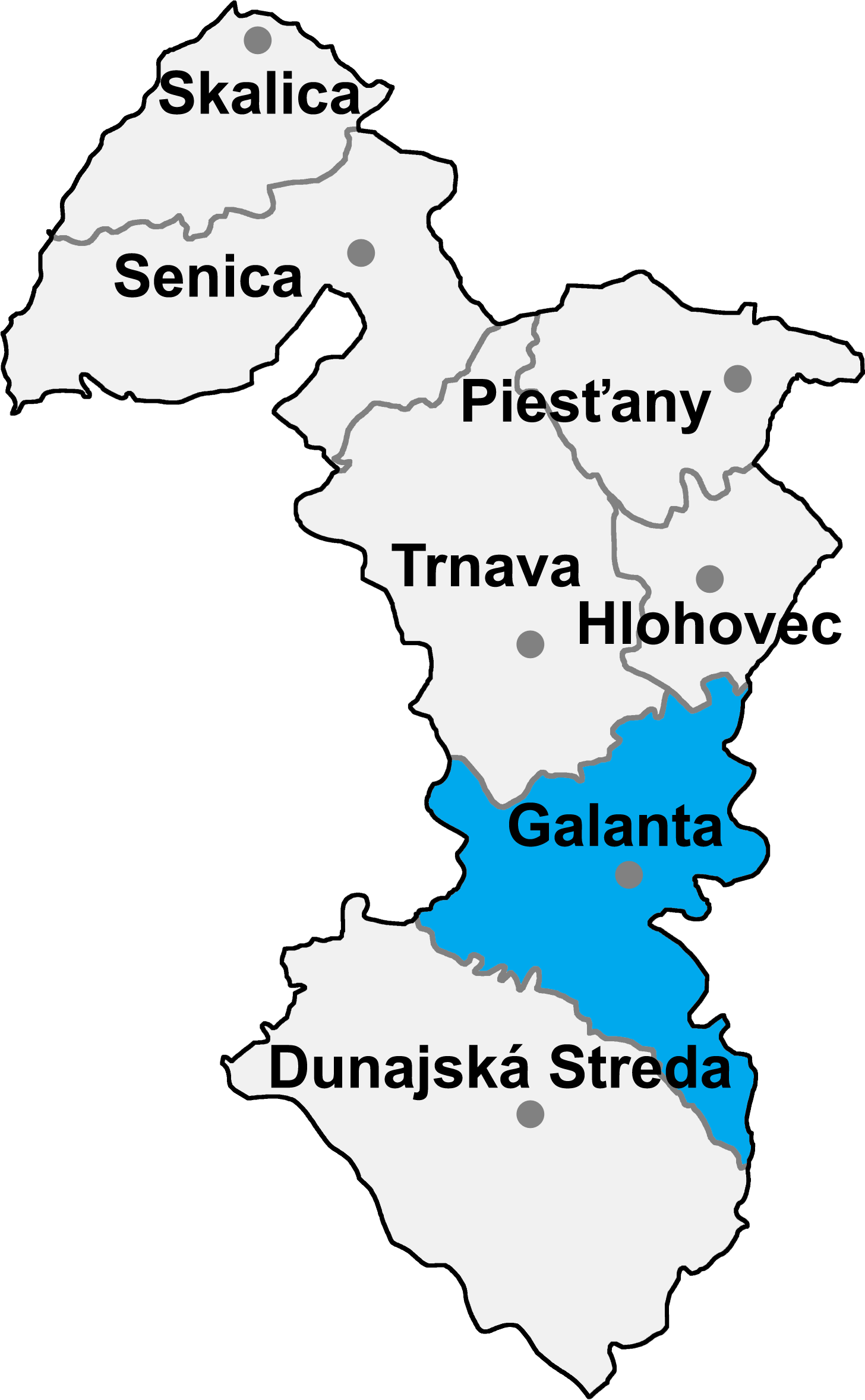
Matúškovo (Hungarian: Taksonyfalva) is a village and municipality in Galanta District of the Trnava Region of south-west Slovakia.

History

In historical records the village was first mentioned in 1138.

Geography

The municipality lies at an elevation of 118 metres and covers an area of 11.954 km². It has a population of about 1938 people.

External links

Coordinates: 48°10′N 17°44′E / 48.167°N 17.733°E / 48.167; 17.733


Wikimedia Foundation. 2010.

Игры ⚽ Нужен реферат?

Look at other dictionaries:

  • Matúškovo — Wappen Karte …   Deutsch Wikipedia

  • Matúškovo — (Village) Administration Pays  Slovaquie …   Wikipédia en Français

  • Galanta — Wappen Karte …   Deutsch Wikipedia

  • Ján Novota —  Ján Novota Spielerinformationen Geburtstag 29. November 1983 Geburtsort Matúškovo, Slowakei Größe 199 cm Position Tor …   Deutsch Wikipedia

  • Galanta District —   District   Country Slovakia …   Wikipedia

  • Trnava Region — Geobox | Region name = Trnava category = Region image caption = image caption = symbol = symbol type = etymology = official name = motto = nickname = country = Slovakia country state = region = district = commune = municipality = border = part… …   Wikipedia

  • Dolná Streda — Coordinates: 48°16′11″N 17°45′15″E / 48.26972°N 17.75417°E / 48.26972; 17.75417 …   Wikipedia

  • List of municipalities and towns in Slovakia — Slovakia This is a comprehensive list of municipalities and towns in Slovakia. For lists of towns and municipalities sorted by Regions see the individual articles on Regions. For an outdated list of towns only in Slovakia see also List of towns… …   Wikipedia

  • Zemianske Sady — Location of Galanta District in the Trnava Region Zemianske Sady (old form: Nemeškert; Hungarian: Nemeskürt) is a village and municipality in Galanta District of the Trnava Region of south west Slovakia …   Wikipedia

  • Sládkovičovo — For the Romanian village of Tuta, called Diószeg in Hungarian, see Târgu Trotuş. Coordinates: 48°12′19″N 17°38′39″E / 48.20528°N 17.64417°E …   Wikipedia

Share the article and excerpts

Direct link
Do a right-click on the link above
and select “Copy Link”