- Dolná Streda
-
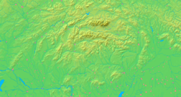
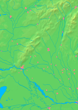
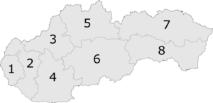
Dolná Streda Settlement Country Slovakia Region Trnava District Galanta River Vag Elevation 123 m (404 ft) Coordinates 48°16′11″N 17°45′15″E / 48.26972°N 17.75417°E Timezone CET (UTC+1) - summer (DST) CEST (UTC+2) Car plate GA Wikimedia Commons: Dolna Streda Statistics: MOŠ/MIS Website: www.dolnastreda.sk Dolná Streda (Hungarian: Alsószerdahely) is a village and municipality in the Galanta District of the Trnava Region of western Slovakia.
External links
Oficiálna stránka obce: http://www.dolnastreda.sk/
Galanta · Sereď · Sládkovičovo
Abrahám · Čierna Voda · Čierny Brod · Dolná Streda · Dolné Saliby · Dolný Chotár · Gáň · Horné Saliby · Hoste · Jánovce · Jelka · Kajal · Košúty · Kráľov Brod · Matúškovo · Mostová · Pata · Pusté Sady · Pusté Úľany · Šalgočka · Šintava · Šoporňa · Tomášikovo · Topoľnica · Trstice · Váhovce · Veľká Mača · Veľké Úľany · Veľký Grob · Vinohrady nad Váhom · Vozokany · Zemianske Sady Categories:
- Trnava Region geography stubs
- Villages and municipalities in Galanta District
Wikimedia Foundation. 2010.


