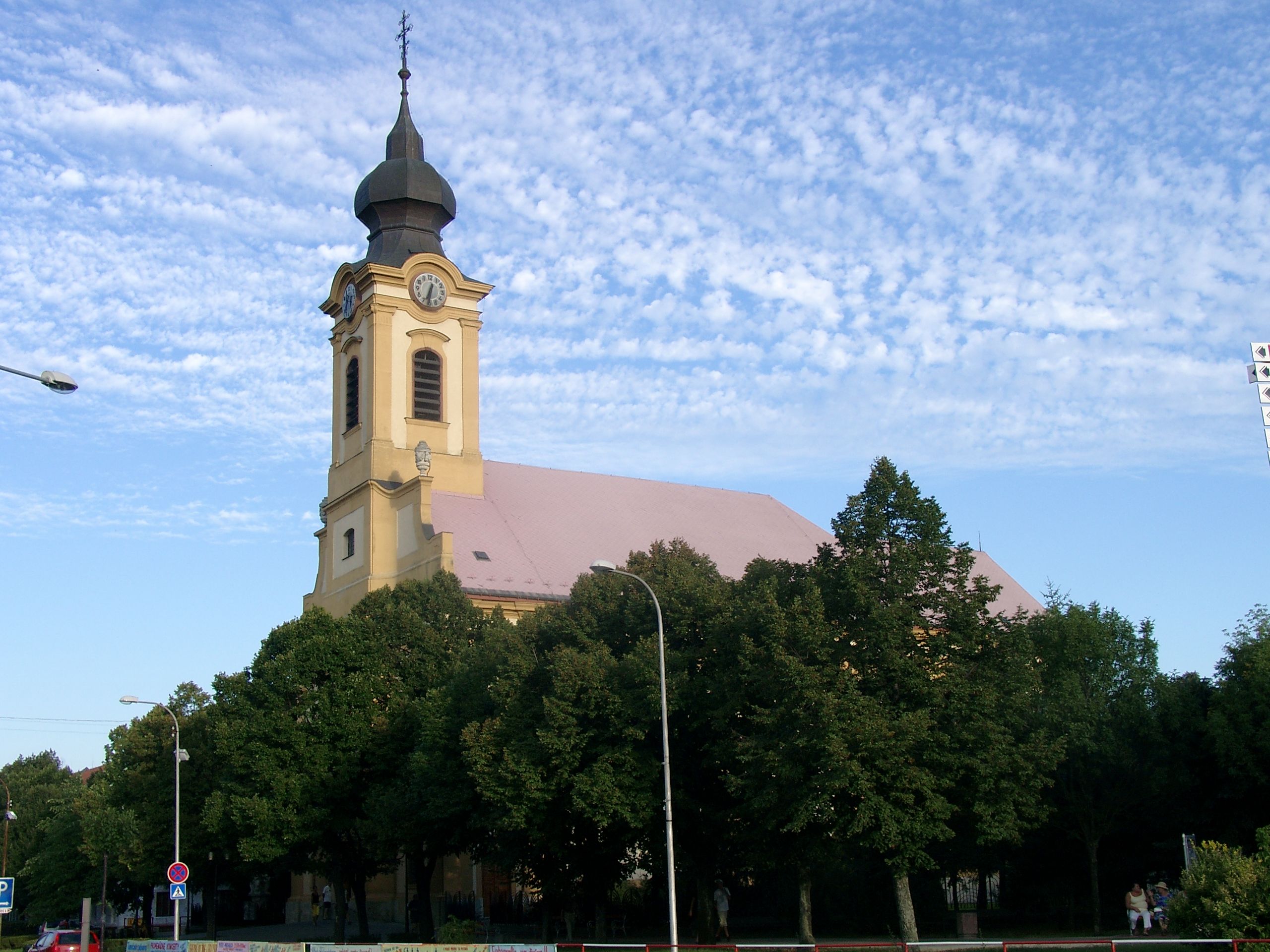
- Sereď
Geobox | Settlement
name = Sereď
category = Town
image_caption =
symbol =
etymology =
official_name =
motto =
nickname =
country = Slovakia
country_
state =
region = Trnava
district = Galanta
municipality =
parent = Dolné Považie
parent_type = Tourism region
river = Váh
location =
elevation = 129
lat_d = 48
lat_m = 17
lat_s = 11
lat_NS = N
long_d = 17
long_m = 44
long_s = 15
long_EW = E
coordinates_type = region:SK_type:city
highest =
highest_elevation =
highest_lat_d =
highest_long_d =
lowest =
lowest_elevation =
lowest_lat_d =
lowest_long_d =
area = 30.454
area_round = 2
population = 17224
population_date = 31 December 2005
population_density = auto
established = 1313
established_type = First mentioned
mayor = Vladimír Vranovič
mayor_party =HZD
timezone =
map_background = Slovakia - background map.png
map_locator = Slovakia
map1 = Trnava Region - outline map.svg
map1_background = Trnava Region - background map.png
map1_locator = Trnava Region
map1_size = 160
commons = Sereď
statistics = [http://www.statistics.sk/mosmis/eng/prvav2.jsp?txtUroven420202&lstObec504009&Okruhzaklad MOŠ/MIS]
website = [http://www.sered.sk www.sered.sk]
footnotes =Sereď (until 1954 "Sered", _hu. Szered) is a
town in southernSlovakia nearTrnava . on the right bank of theVáh River in theDanubian Lowland . It has 17,406 inhabitants and is the largest settlement of theGalanta District .History
Sereď was first mentioned in 1313 as "Zereth". The settlement lay at the so-called "Bohemian Road" leading from
Buda toPrague , on the right bank of the Váh river at the border of two counties (Pressburg and Neutra). Because of this, the livestock and grain markets flourished in the town. In 1846, it was connected by a railway toBratislava andTrnava . Today, food industry (sugar factory, bakery and production of wine) is based in the town and during the Socialist Czechoslovakia, it was the centre of nickel industry, however, the foundry was closed down afterVelvet Revolution .World War II
Sered was site of the only labour camp for Jews established in the pro-Nazi, pro-Nationalist
Slovak state during this period.The Jewish Code adopted by Slovakia in 1941 established labour camps for Jews. In the winter of 1941-1942, a team of Jewish craftsmen was sent to a military camp near the town of Sered to prepare the camp for Jewish labour draftees. Before the work was completed, the Slovak authorities utilised the camp as a detention centre for Jews and as a staging ground for deportation to Poland. The
Hlinka Guard , commanded by Imrich Vasina, oversaw the camp.Five transports took 4,500 Jews from the Sered camp to Poland. After the last transport, the volume of production was expanded, and the camp supplied manufactured goods both to the civilian market and to government agencies at a profit. Conditions for the roughly 1,300 inmates in the camp also improved; workers could get passes to leave the camp, classes were held for children, a pool and athletic field were available for their use, and a variety of cultural activities were permitted. The camp commandant worked with a Jewish council chaired by Alexander Pressburger.
In 1944, an underground was organized in the camp and weapons were smuggled in from the outside. Many Jews left to join the partisans when the camp was opened during the Slovak national uprising in August 1944. Shortly thereafter, however, the Germans seized control of western Slovakia, and the camp was enlarged under the command of Alois Brunner. Over the next several months during the winter of 1944 and spring of 1945, 13,500 Jews were deported from Sered to Auschwitz and Theresienstadt.
The camp was liberated by the Red Army on April 1, 1945.
Geography
Sereď lies at an altitude of convert|129|m|ft|0 above sea level and covers an area of convert|30.454|km2|sqmi|1.It is located in the
Danubian Lowland on theVáh river, around convert|20|km|mi|0 south-east ofTrnava , convert|33|km|mi|0 west ofNitra and around convert|55|km|mi|0 east fromBratislava . The closest mountain ranges are theLittle Carpathians to the west andPovažský Inovec to the north.Demographics
According to the 2001
census , the town had 17,406 inhabitants. 96.16% of inhabitants wereSlovaks , 1.32% Hungarians, 0.95% Czechs and 0.65% Roma.cite web | title = Municipal Statistics | publisher = Statistical Office of the Slovak republic | url = http://www.statistics.sk/mosmis/eng/run.html | accessdate = 2008-01-28] The religious makeup was 72.52%Roman Catholics , 20.77% people with no religious affiliation and 1.97%Lutherans .People
*
Max Weiss , chess playerPhotos
References
External links
* [http://www.sered.sk Official website]


Wikimedia Foundation. 2010.