- Matanzas Creek
-
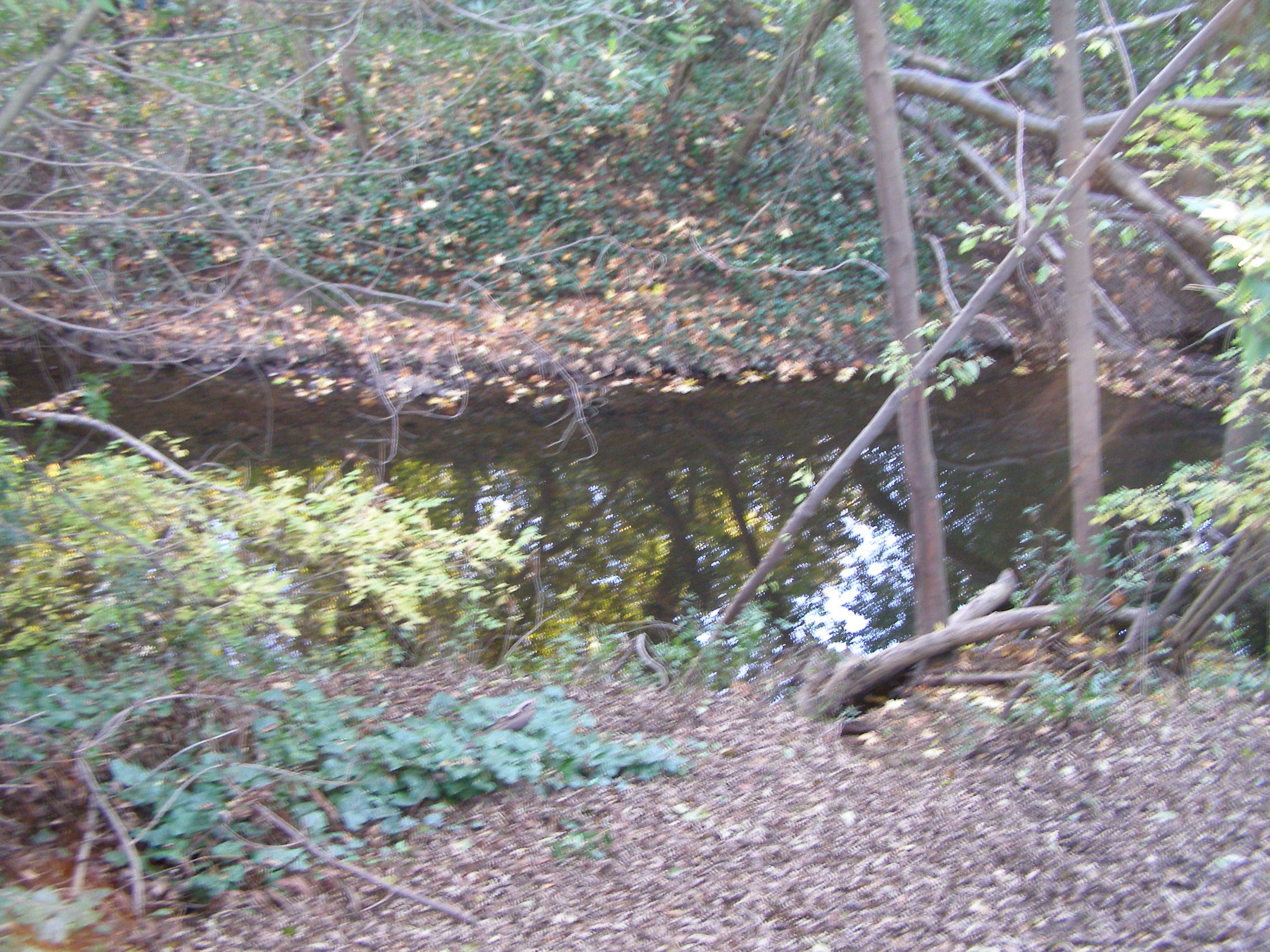
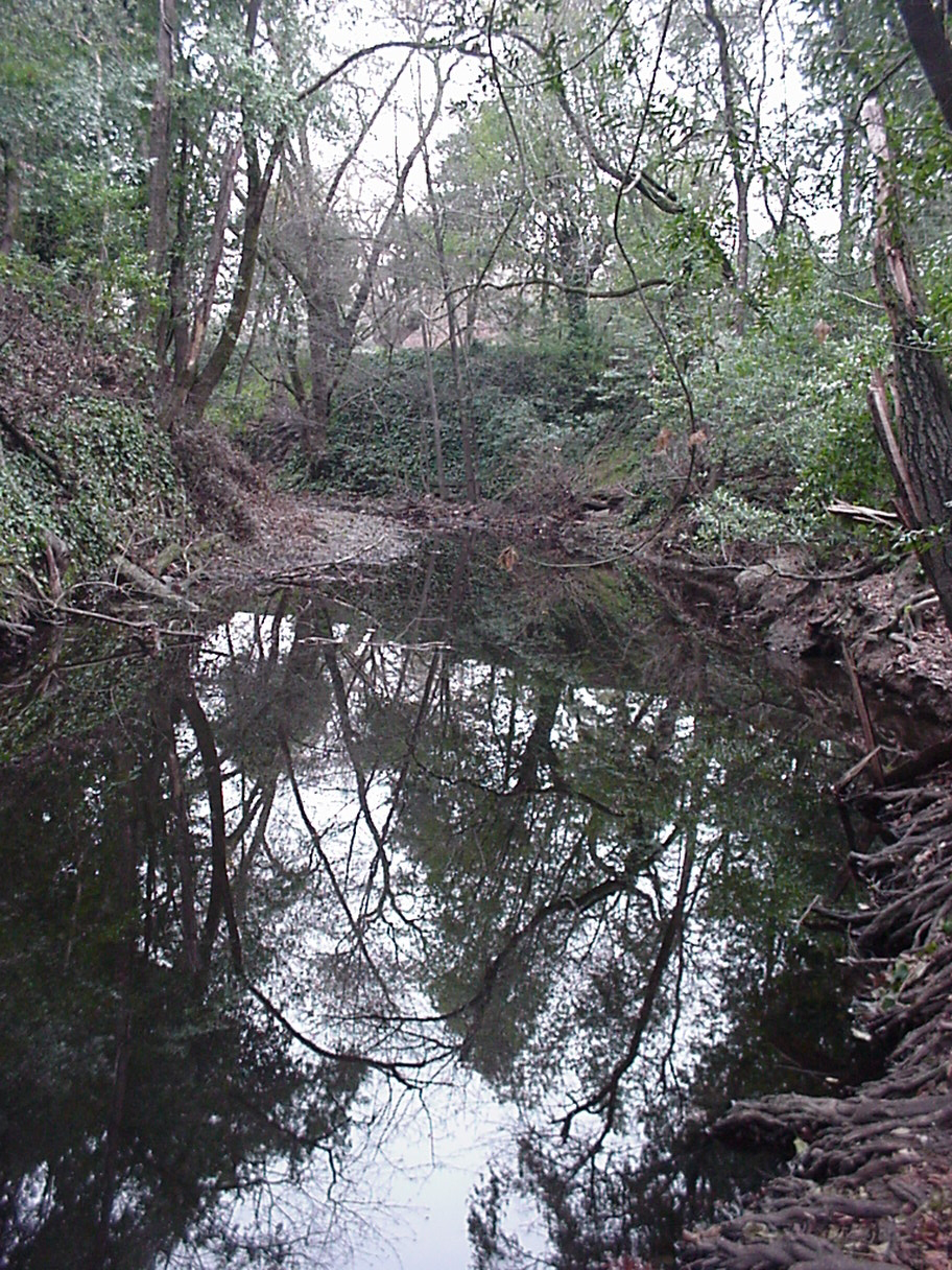
Matanzas Creek stream 
Name origin: Spanish Country United States State California Region Sonoma County Tributaries - left South Fork Matanzas Creek - right Spring Creek City Santa Rosa, California Source north slope of Sonoma Mountain - location 3 mi (5 km) west of Glen Ellen, California - elevation 1,980 ft (604 m) - coordinates 38°21′23″N 122°34′49″W / 38.35639°N 122.58028°W [1] Mouth Santa Rosa Creek - location downtown Santa Rosa - elevation 151 ft (46 m) [1] - coordinates 38°26′15″N 122°42′45″W / 38.4375°N 122.7125°W [1] Matanzas Creek is an 11.4-mile-long (18.3 km)[2] year-round stream in Sonoma County, California, United States, a tributary of Santa Rosa Creek.
Contents
Course
Matanzas Creek springs from the northern slope of Sonoma Mountain and flows northward into Bennett Valley to join the South Fork Matanzas Creek. The stream runs the length of Bennett Valley[3] between Taylor Mountain and Bennett Mountain, flowing under Grange Road near Bennet Valley Road, through Matanzas Creek Reservoir and Bennett Valley Golf Course to the city of Santa Rosa. In Santa Rosa, the creek parallels Creekside Road, Cypress Road, and Hoen Avenue westward to Doyle Park, where it is joined by Spring Creek. From there, the creek continues westward to a confluence with Santa Rosa Creek just north of the Luther Burbank Home and Gardens.
The waters of Matanzas Creek reach the Pacific Ocean south of Jenner, California by way of Santa Rosa Creek, the Laguna de Santa Rosa, Mark West Creek, and the Russian River.
Ecology
The upper reaches of Matanzas Creek have gradients of five to fifteen percent as the stream cascades down Sonoma Mountain[4]. Matanzas Creek channel has been deepened 4 to 5 meters to minimize urban flooding where it flows through Quaternary alluvium of the Santa Rosa Plain for approximately 1 mile (2 kilometers) prior to confluence with Santa Rosa Creek[5].
In downtown Santa Rosa, the creek passes through a 1,400-foot-long (430 m) culvert designed to allow maximum development of the city; however, this structure has impeded the spawning of anadromous fish in the upper Matanzas Creek. A proposal was developed for retrofitting the structure with inflatable bladders that will allow fish to scale the fish ladder, while allowing pools to form, thus preventing low flow uniformly shallow depths[6].
References
- ^ a b c U.S. Geological Survey Geographic Names Information System: Matanzas Creek
- ^ U.S. Geological Survey. National Hydrography Dataset high-resolution flowline data. The National Map, accessed March 9, 2011
- ^ C.Michael Hogan, John Torrey, Brian McElroy et al., Environmental Impact Report, Southeast Santa Rosa Annexation 2-88, Earth Metrics Inc., Report 7941, California State Clearinghouse, Sacramento, Ca., March 1990
- ^ Santa Rosa Quadrangle, Fifteen minute series, USGS Quadrangle Map, U.S. Government Printing Office, Washington DC (1958)
- ^ Koenig, James B. Geologic Map of California:Santa Rosa Sheet (1976) State of California Resources Agency
- ^ U.S. Army Corps of Engineers Santa Rosa Creek Restoration Proposal
See also
External links
Categories:- Rivers of Sonoma County, California
- Santa Rosa, California
Wikimedia Foundation. 2010.