- Spring Creek (Sonoma County, California)
Geobox|River
name = Spring Creek
native_name =
other_name =
category =stream
etymology =
nickname =
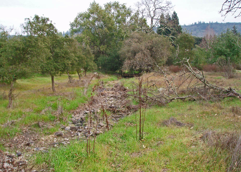
image_caption = Spring Creek streambed high in headwaters area.
country =United States
state =California
region = Sonoma County
district =
municipality =
parent =
tributary_right =
tributary_left =
city =Santa Rosa, California
landmark =
river =
source = Bennett Mountain
source_location =Annadel State Park
source_region = | source_country =
source_elevation_imperial = 1220
source_elevation_note =
source_lat_d = 38 | source_lat_m = 25 | source_lat_s = 18 | source_lat_NS = N
source_long_d = 122 | source_long_m = 36 | source_long_s = 46 | source_long_EW = W
source_coordinates_note = Gnis|235241|Spring Creek]
source1 =
source1_location = | source1_region = | source1_country =
source1_elevation_imperial =
source1_lat_d = | source1_lat_m = | source1_lat_s = | source1_lat_NS =
source1_long_d = | source1_long_m = | source1_long_s = | source1_long_EW =
source_confluence =
source_confluence_location = | source_confluence_region = | source_confluence_country =
source_confluence_elevation_imperial =
source_confluence_lat_d = | source_confluence_lat_m = | source_confluence_lat_s = | source_confluence_lat_NS =
source_confluence_long_d = | source_confluence_long_m = | source_confluence_long_s = | source_confluence_long_EW =
mouth = Matanzas Creek
mouth_location = west end of Doyle Park inSanta Rosa, California
mouth_region = | mouth_country =
mouth_elevation_imperial = 164
mouth_elevation_note =
mouth_lat_d = 38 | mouth_lat_m = 26 | mouth_lat_s = 21 | mouth_lat_NS = N
mouth_long_d = 122 | mouth_long_m = 42 | mouth_long_s = 1 | mouth_long_EW = W
mouth_coordinates_note =
length_imperial =
length_note =
length_orientation =
width_imperial = | width_orientation =
depth_imperial =
volume_imperial =
warershed_imperial =
discharge_location =
discharge_location_note =
discharge_imperial =
discharge_round =
discharge_max_imperial =
discharge_min_imperial =
free = | free_type =
map_caption =
map_background =
map_locator =
map_locator_x =
map_locator_y =
website =
footnotes =Spring Creek, in
Sonoma County, California ,USA , is a stream that rises in the northern part of theSonoma Mountains ["Santa Rosa Quadrangle", Fifteen minute series,USGS Quadrangle Map, U.S. Government Printing Office, Washington DC (1958)] withinAnnadel State Park , draining the western slopes of Taylor Mountain and feeding intoMatanzas Creek below the Matanzas Creek Reservoir.C.Michael Hogan, John Torrey, Brian McElroy et al., "Environmental Impact Report, Southeast Santa Rosa Annexation 2-88", Earth Metrics Inc., Report 7941, California State Clearinghouse, Sacramento, Ca., March 1990]The waters of Spring Creek ultimately reach the
Pacific Ocean just south ofJenner, California by way of Matanzas Creek,Santa Rosa Creek , theLaguna de Santa Rosa ,Mark West Creek , and the Russian River.References
ee also
*
Laguna de Santa Rosa
*Lake Ralphine
*List of watercourses in the San Francisco Bay Area
*Pomo people
*Spring Creek
*Spring Lake Regional Park
Wikimedia Foundation. 2010.