- Model Town Humak
-
- Please note: Humak is also the name of the Union Council governing this town, as well as the nearby Kotha Kalan and Naizian
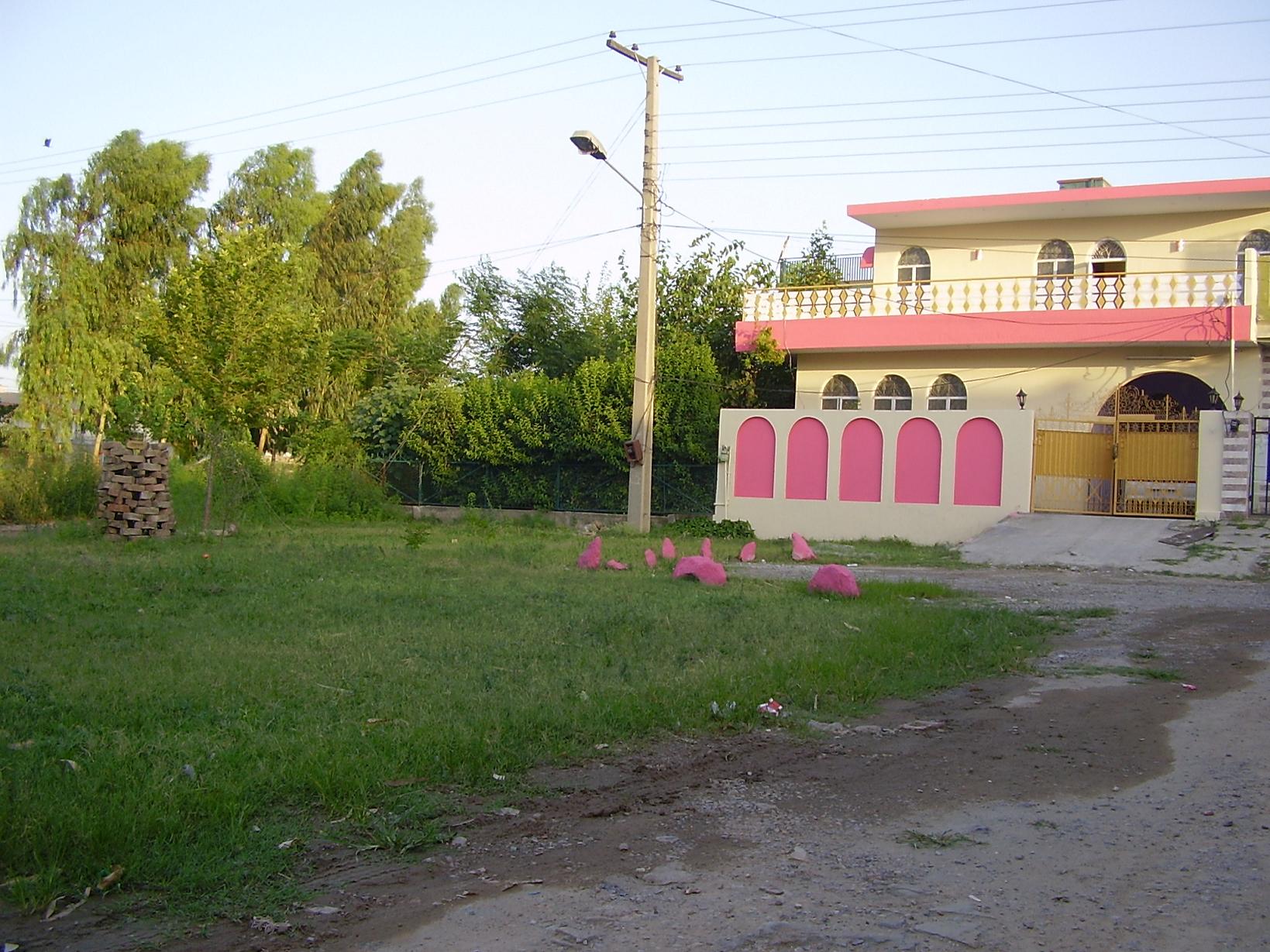
Humak — suburb town — Model Town Humak A home in Model Town
Coordinates (Community centre*): 33°32′23″N 73°09′07″E / 33.539851°N 73.152021°ECoordinates: 33°32′23″N 73°09′07″E / 33.539851°N 73.152021°E Country  Pakistan
Province Islamabad Capital Territory District Islamabad Started 1984 Subdivisions Government - Type Union Council - District Coordinating Officer - Zila Nazim Time zone PST (UTC+5) *"Humak community Center" (bbs). Google Maps. February 7, 2006. http://bbs.keyhole.com/ubb/showflat.php/Cat/0/Number/304023. Model Town Humak is a suburb town of Islamabad, Pakistan started in 1984. Located in Islamabad Capital Territory on Kahuta Road, Model Town is situated on Humak village land near the Swaan River.
The area was formerly a jungle. According to the District Rawalpindi gazette of 1893, Humak was on the main railway line from Jhelum to Rawalpindi; those lines have since been relocated. The community now has more than 1500 homes laid out in an organised way, following the map provided by Capital Development Authority.
Contents
Sectors of Model Town Humak
Model Town Humak has three sectors, named in the local Urdu tongue:
- Humak Sharqi (Eastern Humak)
- Humak Gharbi (Western Humak)
- Humak Zimni (Humak extension)
Schools and mosques are abundant throughout the town, with one in Humak Zimni being particularly prominent due to its large graveyard.
"Children Welfare School" is one of the government schools responsible for educating and training of children up to age seven.
Humak Sharqi
Humak Sharqui is located on the eastern entrance to the town and is the oldest sector. The area is mostly residential, having very few commercial areas.
Humak Gharbi
The western region of Humak is mostly commercial.
Humak Zimni
This sector was developed after the above-mentioned sectors as an extension of Humak. Its back concides with the "Defence Housing Authority phase II" (DHA-II). In addition to the graveyard, there is a community centre with a municipal park in development. Zayneb Hospital is a private hospital of the area providing all health amenities including lab, operation theater and women-child healthcare facilities.
Humak industrial area
A separate area of Humak constitutes several industrial anchors. Some of the Humak industries are as follows:
- AMSON Vaccines & PHARMA [1]
- Ampak Enterprises
- Pepsi factory
- Yamaha (former)
- Sheena textile (pvt) Ltd.
- Hico Icecram's warehouse.
- Creative Electronics & Automation
Ethnic groups residing in Humak
Most of Humak's residents are Muslims. However, non-Muslims also live in the region. A large number of residents are educated and are professionals in different fields.
Nature in Model Town
Birds


Pied Kingfisher
House Sparrow
Common Myna
Common Kingfisher
Common Buzzard
Black Drongo
House Crow
Common Babbler
Oriental Magpie Robin
Red-vented Bulbul
Hoopoe
Rose-ringed Parakeet
Spotted Dove
Eurasian Collared Dove
Cattle Egret
Little Egret
Common Swift
Little Green Bee-eaterPlants
Cannabis sativa(Bheng)
Ficus pumilaInsects
Problems
Uncleanliness and illegal shops are the major problems of Model Town.
See also
Categories:- Populated places established in 1984
- Union councils of Islamabad Capital Territory
- Planned communities
Wikimedia Foundation. 2010.