- Georgia State Route 7
Infobox road
state=GA
type=
route=7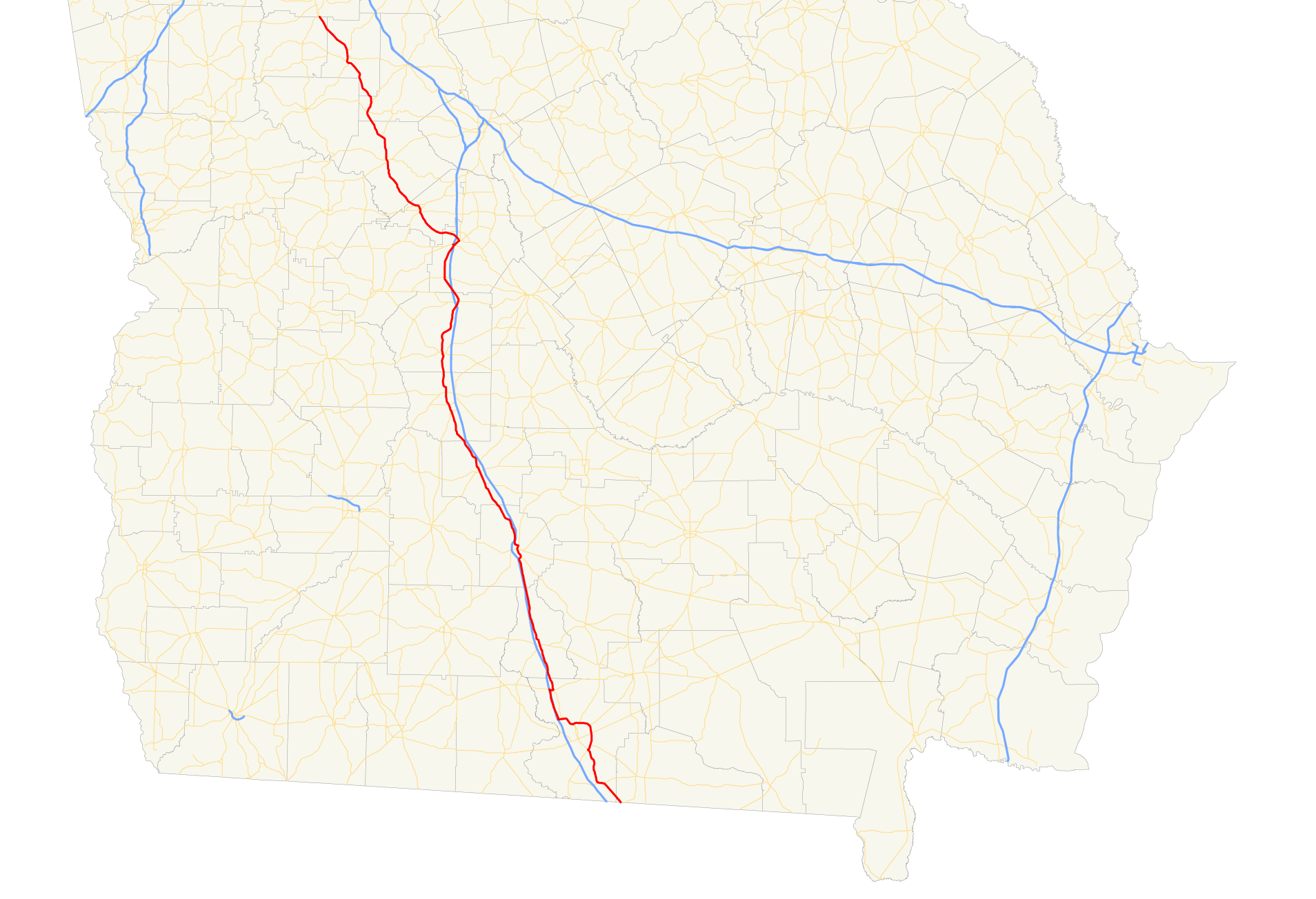
length_mi=
length_ref= [http://www.dot.state.ga.us/DOT/plan-prog/transportation_data/400reports/2002/dpp444_2002.pdf]
length_round=2
established=
direction_a=South
direction_b=North
starting_terminus=
junction=
ending_terminus=
previous_route=6
next_route=8State Route 7 is a north-south route located in the
U.S. state of Georgia. The route is cosigned with eitherU.S. 41 or U.S. 341 for its entire length.Routing
From its southern terminus with
Florida State Road 25 at theFlorida state line southeast of Lake Park, the route travels north, cosigned with U.S. 41. North of Valdosta, the two routes arc to the west to meetInterstate 75 . U.S. 41/S.R. 7 continue north cosigned with Interstate 75 to Hahira. In Hahira, U.S. 41/S.R. 7 exit Interstate 75 and continue north, mostly in close proximity to Interstate 75. In Perry, S.R. 7 departs U.S. 41 and joins U.S. 341. The two routes travel northwest to Barnesville. In Barnesville, U.S. 341 reaches its northern terminus at U.S. 41; S.R. 7 continues north, signed with U.S. 41, to its terminus at U.S. 41's intersection withU.S. 19 /S.R. 3 south of Griffin.ignificance
With Interstate 75 running adjacent to it, S.R. 7 south of Perry is mainly used for local traffic. However, construction or closures on Interstate 75 can lead to the route being used as a detour.
Banner Routes
State Route 7 has three banner routes:
* State Route 7 Alternate is a short north-south route located in Valdosta, mere blocks from its parent route.
* State Route 7 Connector is a short west-east route in Fort Valley.
* State Route 7 Spur is a short spur in Houston County.
Wikimedia Foundation. 2010.