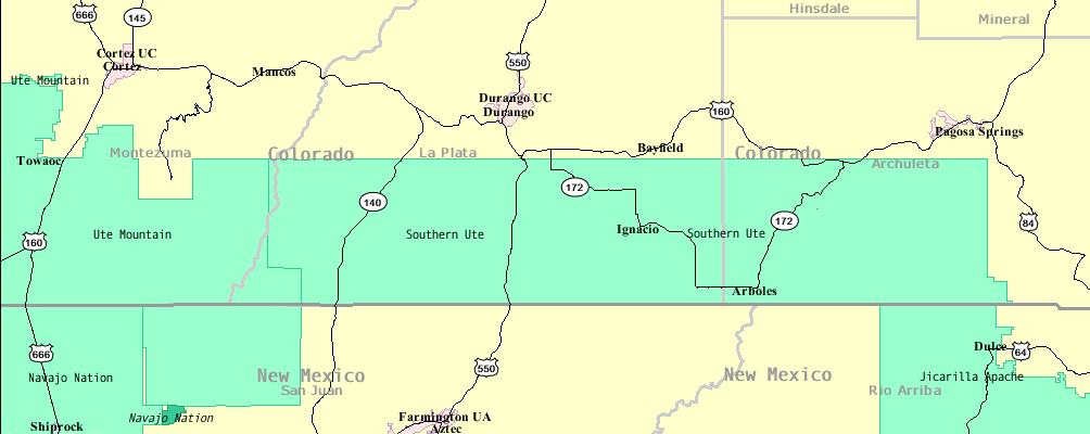
- Southern Ute Indian Reservation
-
 A map of the Southern Ute Reservation and nearby reservations
The Southern Ute Indian Reservation lies in southwestern Colorado, USA, along the northern border of New Mexico. Its territory consists of land from three counties; in descending order of surface area they are La Plata, Archuleta, and Montezuma Counties. The reservation has a land area of 1,058.785 sq mi (2,742.24 km²) and a population of 11,259 as of the 2000 census. Its largest communities are Ignacio and Arboles.[1]
Established in 1873, it is the reservation of the Southern Ute Indian Tribe, a federally recognized Ute tribe. Government is organized under the Indian Reorganization Act of 1934 and is led by a tribal council with a chairman as head of the executive. For decades at the end of the 20th century, Clement Frost had been the tribes chairman. In 2008 a new chairman, Matthew Box was elected.[2]
The 1990 Ute population was 1044.[3]
See also
Notes
- ^ Southern Ute Reservation, Colorado United States Census Bureau.
- ^ "New Ute tribal chairman Matthew Box sworn in " News From Indian Country December 2008
- ^ Pritzker, 245
References
- Pritzker, Barry M. A Native American Encyclopedia: History, Culture, and Peoples. Oxford: Oxford University Press, 2000. ISBN 978-0195138771.
Coordinates: 37°06′30″N 107°38′42″W / 37.10833°N 107.645°W
Municipalities and communities of Archuleta County, Colorado Town 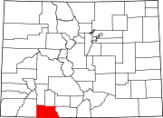
CDP Unincorporated
communitiesIndian
reservationSouthern Ute Indian Reservation
Municipalities and communities of La Plata County, Colorado City 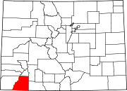
Towns CDP Southern Ute
Unincorporated
communitiesIndian
reservationSouthern Ute Indian Reservation
Municipalities and communities of Montezuma County, Colorado City 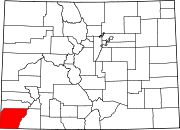
Towns CDP Unincorporated
communitiesIndian
reservationSouthern Ute Indian Reservation
Categories:- Ute tribe
- American Indian reservations in Colorado
- Populated places in Archuleta County, Colorado
- Populated places in La Plata County, Colorado
- Populated places in Montezuma County, Colorado


Wikimedia Foundation. 2010.