- Toolern Vale, Victoria
-
Toolern Vale
Victoria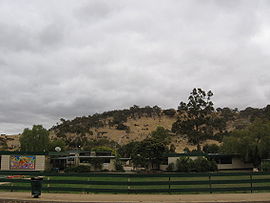
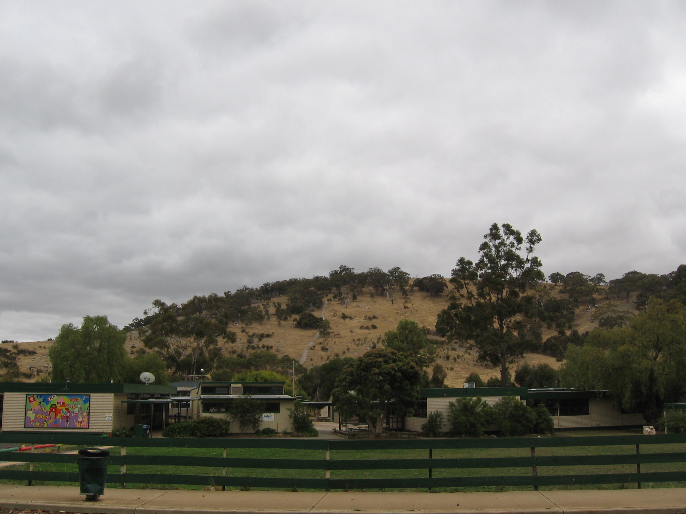
The state primary school at Toolern Vale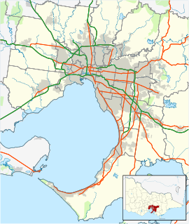
 Toolern Vale
Population: 1,123[1] Postcode: 3337 Location: LGA: Shire of Melton State District: Macedon Federal Division: Lalor Localities around Toolern Vale: Bullengarook and Gisborne Gisborne South Sunbury and Diggers Rest Long Forest Toolern Vale Ravenhall Melton West and Kurunjang Melton Rockbank and Ravenhall Toolern Vale is a town in Victoria, Australia, 39 km north-west from Melbourne's central business district. Its Local Government Area is the Shire of Melton. At the 2006 Census, Toolern Vale had a population of 1,123.
Toolern Vale contains a primary school, CFA fire station, a war memorial and reserve with tennis courts, as well as a Community Hall often used for antique and collectables auctions.
Toolern Vale is renowned for the numerous horse studs, stables and training facilities which abound.
The area is often referred to as "Thoroughbred Country". Vic Roads has issued special, gold and brown "Thoroughbred Country" licence plates which are often seen being sported on vehicles from Toolern Vale.
The Post Office opened on 1 January 1871 and was known as Toolern until 1904. [2]
Contents
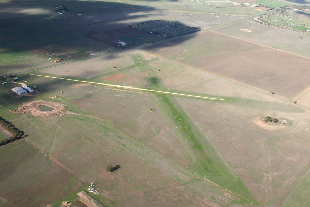
Melton Airfield
Melton Airfield (37°37′18″S 144°33′54″E / 37.6218°S 144.5650°E) is a small grass strip airfield located at the intersection of Coburns Road and Diggers Rest - Coimadai Road. The small grass airstrip runs approximately northeast-southwest. The airfield is home to the Melton Flying School. It has four hangars and parking for light aircraft, an office and vehicle parking.
The airfield was originally begun by Mr. Terry Fogarty Snr. and in the early days known as "Fogarty's Field". Mr. Terry Fogarty Jnr. served as a flying instructor there for many years.
Gallery
-
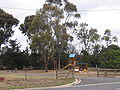
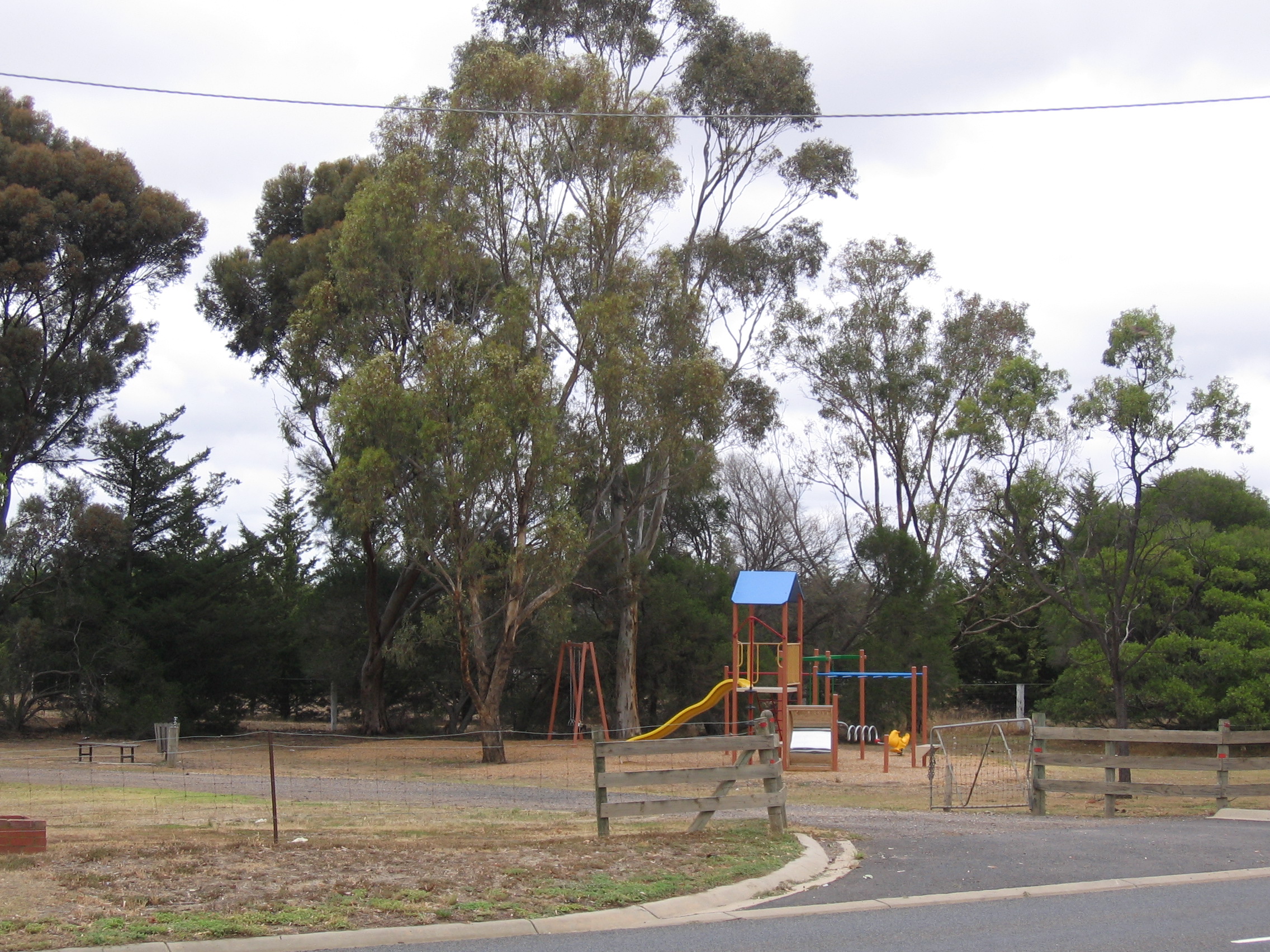
Park and playground in Toolern Vale.
-
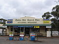
The Toolern Vale General Store.
-
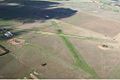
Melton Airfield
References
- ^ Australian Bureau of Statistics (25 October 2007). "Toolern Vale (State Suburb)". 2006 Census QuickStats. http://www.censusdata.abs.gov.au/ABSNavigation/prenav/LocationSearch?collection=Census&period=2006&areacode=SSC26797&producttype=QuickStats&breadcrumb=PL&action=401. Retrieved 2009-01-31.
- ^ Premier Postal History, Post Office List, https://www.premierpostal.com/cgi-bin/wsProd.sh/Viewpocdwrapper.p?SortBy=VIC&country=, retrieved 2008-04-11
External links
- Toolern Vale, Victoria is at coordinates 37°36′29″S 144°35′35″E / 37.608°S 144.593°ECoordinates: 37°36′29″S 144°35′35″E / 37.608°S 144.593°E
- Emirates Park Stud
- Plane Spotting in Victoria
Suburbs of the Shire of Melton Brookfield · Burnside · Burnside Heights · Caroline Springs · Diggers Rest · Exford · Eynesbury •
Hillside · Kurunjang · Melton · Melton South · Melton West · Mount Cottrell · Parwan • Plumpton · Ravenhall · Rockbank · Taylors Hill · Toolern Vale · TruganinaCategories:- Towns in Victoria (Australia)
- Airports in Victoria (Australia)
- Melbourne geography stubs
-


Wikimedia Foundation. 2010.