- Ocalli District
-
Ocalli
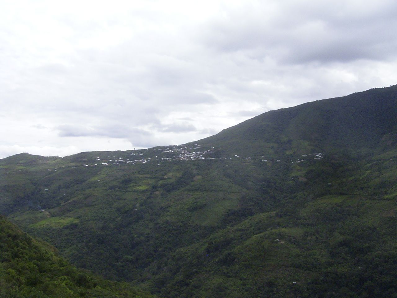
Uqalli— District — Landscape of the district of Ocalli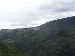
Coordinates: 6°15′11″S 78°17′10″W / 6.25306°S 78.28611°WCoordinates: 6°15′11″S 78°17′10″W / 6.25306°S 78.28611°W Country  Peru
PeruRegion Amazonas Province Luya Founded Capital Ocalli Government – Mayor Francisco Cubas Melendez Area – Total 177.39 km2 (68.5 sq mi) Elevation 1,800 m (5,906 ft) Population (2005 census) – Total 3,729 – Density 21/km2 (54.4/sq mi) Time zone PET (UTC-5) UBIGEO 010512 Ocalli is a district of the province of Luya, Peru. Cashew spreads from the high mountain towards the shores of the River, with borders to the north with the district of Conila, in the East with Inguilpata, in the southeast with that of Ocumal, in the south-west with the district of Providence, and in the west with Cajamarca. There is a highway that divides from Corral Burned up to the capital of the district, the people of Ocalli, which possesses a big market for the buy and selling of coffee.
The management holidays of the capital Ocalli are celebrated from October 25 until October 28. As typical meals are known by the chochoca, the nickname, the locro, the stew, the churumbo and the cuy with dads, between others.
Ocalli offers several attractive places for tourists like cataracts and ruins of the culture Chachapoyas.
External links
Bagua Bongará Chisquilla · Churuja · Corosha · Cuispes · Florida · Jazán · Jumbilla · Recta · San Carlos · Shipasbamba · Valera · YambrasbambaChachapoyas Asunción · Balsas · Chachapoyas · Cheto · Chiliquín · Chuquibamba · Granada · Huancas · La Jalca · Leimebamba · Levanto · Magdalena · Mariscal Castilla · Molinopampa · Montevideo · Olleros · Quinjalca · San Francisco de Daguas · San Isidro de Maino · Soloco · SoncheCondorcanqui Luya Camporredondo · Cocabamba · Colcamar · Conila · Inguilpata · Lámud · Longuita · Lonya Chico · Luya · Luya Viejo · María · Ocalli · Ocumal · Pisuquia · Providencia · San Cristóbal · San Francisco del Yeso · San Jerónimo · San Juan de Lopecancha · Santa Catalina · Santo Tomás · Tingo · TritaRodríguez de Mendoza Chirimoto · Cochamal · Huambo · Limabamba · Longar · Mariscal Benavides · Milpuc · Omia · San Nicolás · Santa Rosa · Totora · Vista AlegreUtcubamba Categories:- Amazonas Region geography stubs
- Districts of the Amazonas Region
- Districts of the Luya Province
Wikimedia Foundation. 2010.