- Cocabamba District
-
Cocabamba
Kukapampa— District — Coordinates: 6°36′50″S 78°0′18″W / 6.61389°S 78.005°WCoordinates: 6°36′50″S 78°0′18″W / 6.61389°S 78.005°W Country  Peru
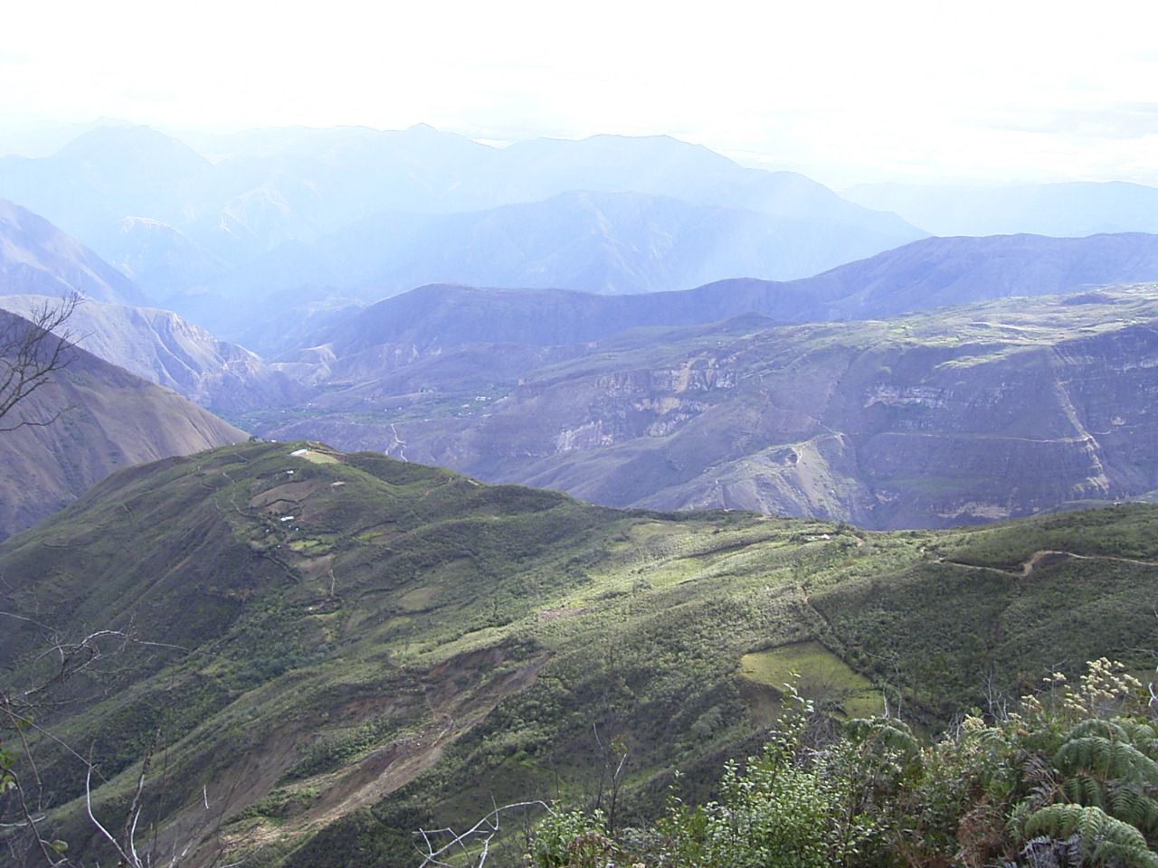
PeruRegion Amazonas Province Luya Founded February 5, 1861 Capital Cocabamba Government – Mayor Juan Carlos Regalado Saldaña Area – Total 355.85 km2 (137.4 sq mi) Elevation 2,500 m (8,202 ft) Population (2005 census) – Total 2,133 – Density 6/km2 (15.5/sq mi) Time zone PET (UTC-5) UBIGEO 010503  The beautiful landscape of Cocabamba.
Cocabamba is a district of the province of Luya in the Amazonas Region of Peru.
Geography
Cocabamba is located in a temperate portion where Tomás lowers from the Saint's heights up to the river Cashew.
In the north the District of Cocabamba has border with the District of Pisuquía, in the East with Maria's District, the Saint's District Tomás (Luya) and the District of Leymebamba (Chachapoyas), in the southeast with the District of Rafts (Chachapoyas), in the south-west with the District of Celendin, in the west with the District of Chumuch. The principal entry to the District of Cocabamba is for the Saint's District Tomás (Luya), where it finishes the highway.
Tourism
Cocabamba offers several attractive places for tourists such as beautiful waterfalls and several ruins of the Chachapoyas culture. The paved roads do not reach all the way to Cocabamba, so people who come by car must walk the last section.
Culture
The public holiday of the capital Cocabamba is celebrated on October 8. Typical meals are the Purtumote (nickname: the Locro), stew and wheat resvaldo, among others. The District of Cocabamba Tomás (Luya) belongs to the parroquía of the Saint's District.
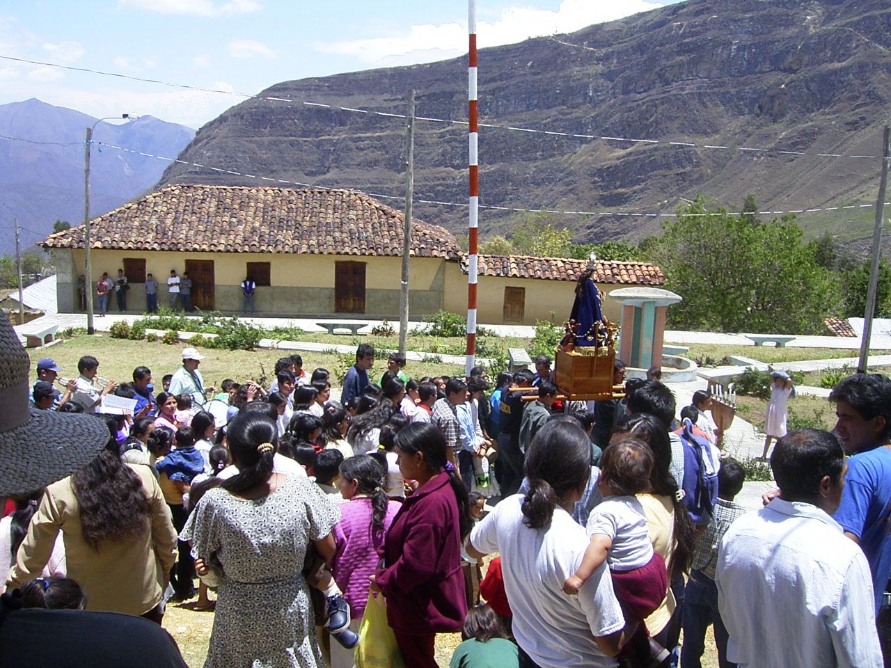
 The Main Square of Cocabamba during the Popular Celebrations.
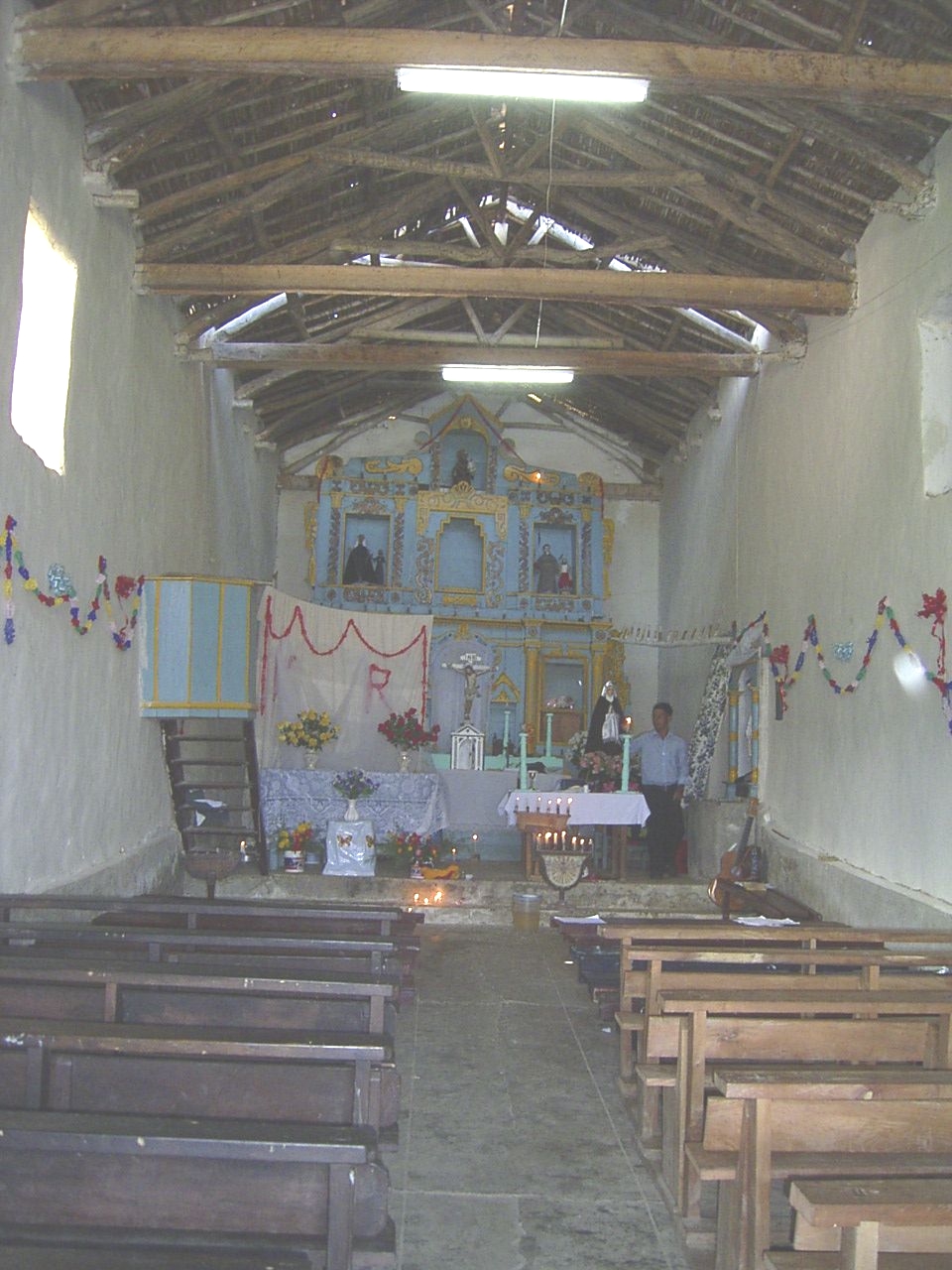
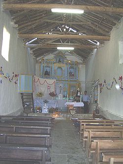 Church of Cocabamba.
Bagua Bongará Chisquilla · Churuja · Corosha · Cuispes · Florida · Jazán · Jumbilla · Recta · San Carlos · Shipasbamba · Valera · YambrasbambaChachapoyas Asunción · Balsas · Chachapoyas · Cheto · Chiliquín · Chuquibamba · Granada · Huancas · La Jalca · Leimebamba · Levanto · Magdalena · Mariscal Castilla · Molinopampa · Montevideo · Olleros · Quinjalca · San Francisco de Daguas · San Isidro de Maino · Soloco · SoncheCondorcanqui Luya Camporredondo · Cocabamba · Colcamar · Conila · Inguilpata · Lámud · Longuita · Lonya Chico · Luya · Luya Viejo · María · Ocalli · Ocumal · Pisuquia · Providencia · San Cristóbal · San Francisco del Yeso · San Jerónimo · San Juan de Lopecancha · Santa Catalina · Santo Tomás · Tingo · TritaRodríguez de Mendoza Chirimoto · Cochamal · Huambo · Limabamba · Longar · Mariscal Benavides · Milpuc · Omia · San Nicolás · Santa Rosa · Totora · Vista AlegreUtcubamba Categories:- Districts of the Amazonas Region
- Districts of the Luya Province
- Amazonas Region geography stubs
Wikimedia Foundation. 2010.