- Maripasoula
-
Maripasoula

Location of the commune (in red) within French Guiana Administration Country France Overseas region and department French Guiana Arrondissement Saint-Laurent-du-Maroni Intercommunality Ouest Guyanais Mayor Tobbie Balla
(2008–2014)Statistics Land area1 18,360 km2 (7,090 sq mi) Population2 5,584 (2007) - Density 0 /km2 (0 /sq mi) INSEE/Postal code 97353/ 97370 1 French Land Register data, which excludes lakes, ponds, glaciers > 1 km² (0.386 sq mi or 247 acres) and river estuaries. 2 Population without double counting: residents of multiple communes (e.g., students and military personnel) only counted once. Coordinates: 3°38′40″N 54°02′02″W / 3.64443°N 54.033772°W
Maripasoula is a commune of French Guiana, an overseas region and department of France located in South America. With a land area of 18,360 km2 (7,090 sq mi), Maripasoula is the largest commune of France, and is recognized as the fourteenth largest city in the world by surface area.
Contents
Geography
Geographic Information of Maripasoula:
- Area of 18,360.00 km² or 7088.84 sq mi
- The town is located 100 metres above sea level.
- Minimum altitude 66 metres
- Maximum elevation 828 metres
- Average altitude 447 metres
- Time Zone: UTC -3:00 (America / Paramaribo)
- Summer time and winter time does not differ from standard time.
The surrounding of the town are
- Maripasoula airfield 1.9 km
- Customs post Inini 4.1 km
- Island Agoussou Tabiki 5.9 km
- Hill Yaou 14.5 km
- Mountains Mount Atachi Bacca 15.9 km
- Mountain Mountain Bellevue Maripasoula 16.8 km
- Dock Degrad Bois Blanc 23.6 km
- Aerodrome Coermotibo 24.2 km
- Place Degrad Fofo 26.2 km
- Island Zaou Tabiki 27.9 km
Administration
Maripasoula City is the capital of the canton.
Mayor of Maripasoula is called sir Robert Balla. For all your administrative tasks, you can go to City Hall Avenue Leonard Domerger.
The municipality is part of the Ouest Guyanais community of communes.
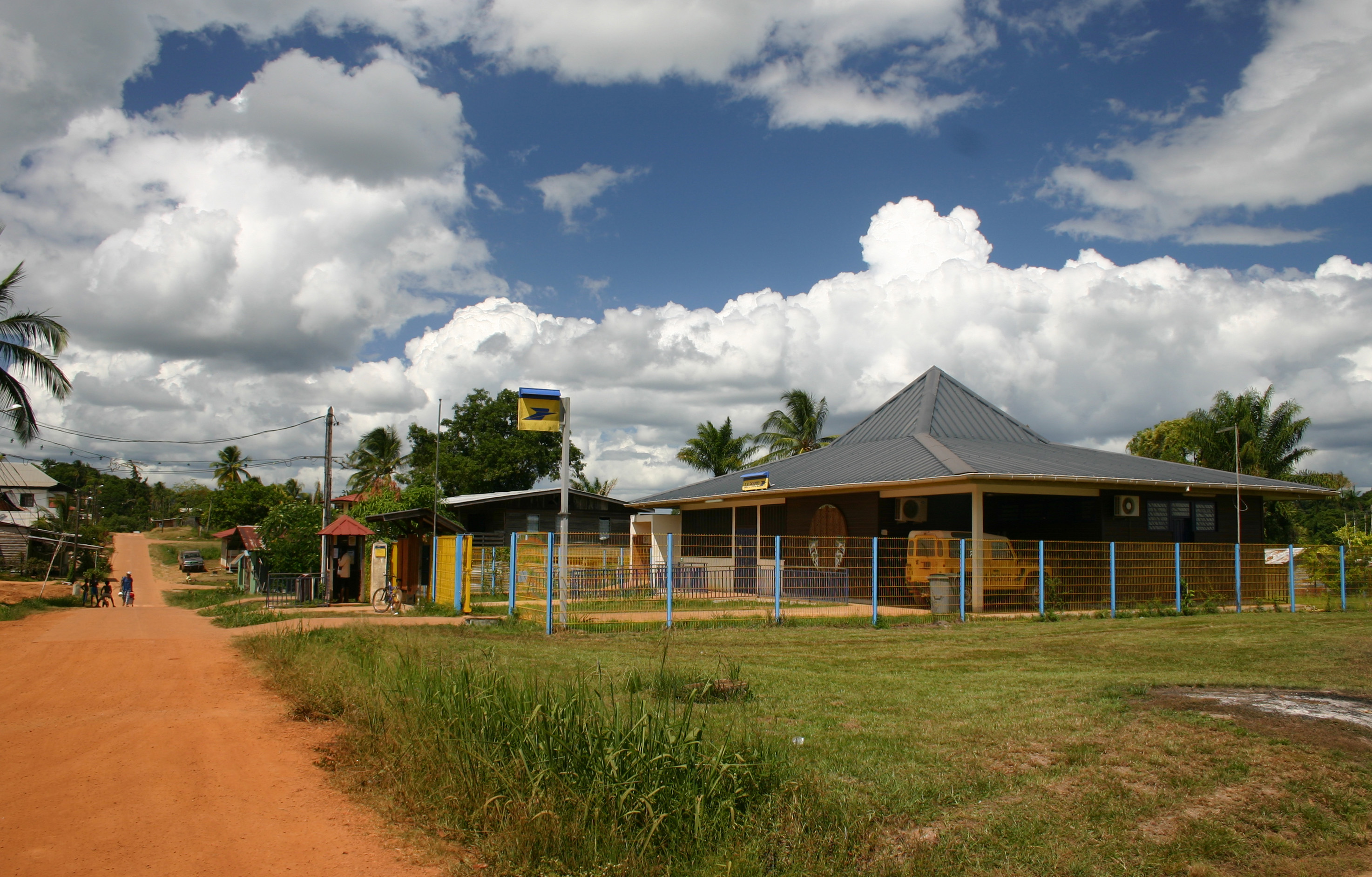
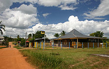 Maripasoula : Post office
Demographics
Its inhabitants are known in French as Maripasouliens and Maripasouliennes.
The town has 4,538 inhabitants from the last population census from 2004. With a density of 0.2 inhabitants per km², Maripasoula was a sharp increase of 24.3% of its population by 1999.
- Male 52.5%
- Female 47.5%
Old name of the town was Upper Maroni (1953).
Sites of interest
National park
Maripasoula territory belongs to the Guiana Amazonian Park (French: Parc amazonien de Guyane).[1]
Protected buildings and historical monuments
Petroglyphs of the Maroni river (archaeological site, ornate rock): engraved rocks, including their field of plate. Roche main site identified in 1948.
Shelter and painted shelters with archaeological remains of the Inselberg Susky (Archaeological site, rock shelter): the face is the Inselberg Susky including different projections with Shelters A (archaeological layer), B (buffers and potsherds) and F (rock paintings).
The wall of the shelter of the F Inselberg Suski includes 136 paintings dating probably AD e (...) Features: polisher
Notable residents
Cyrille Regis (9 February 1958), a famous former West Bromwich Albion and England player, was born in Maripasoula.[2]
See also
References
External links
Communes of the Guyane department  Apatou · Awala-Yalimapo · Camopi · Cayenne · Grand-Santi · Iracoubo · Kourou · Macouria · Mana · Maripasoula · Matoury · Montsinéry-Tonnegrande · Ouanary · Papaïchton · Régina · Remire-Montjoly · Roura · Saint-Élie · Saint-Georges · Saint-Laurent-du-Maroni · Saül · SinnamaryCategories:
- Communes of Guyane
- French Guiana geography stubs

Wikimedia Foundation. 2010.