Sibiu County — Sibiu County Coat of arms … Wikipedia
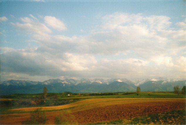
Făgăraş Mountains group — Geobox|Range name=Făgăraş Mountains|native name= image caption=Negoiu Peak (2535 m) country=Romania state type=Region region= unit=|border=| border1=Alps geology=| period= | orogeny= area= | length=| length orientation= width= | width orientation … Wikipedia
Carpathian Mountains — For other uses, see Carpathian (disambiguation). Carpathians Range Inner Western Carpathians, High Tatras, Poland … Wikipedia
Geography of Romania — With an area of 238,391 square kilometers, Romania is the twelfth largest country in Europe. Situated in the northeastern portion of the Balkan Peninsula, the country is halfway between the equator and the North Pole and equidistant from the… … Wikipedia
Vânătoarea lui Buteanu — Infobox Mountain Name = Vânătoarea lui Buteanu Photo = vanatoarea.jpg Elevation = convert|2507|m|ft|0|lk=on Location = Romania Range = Făgăraş Mountains, Southern Carpathians Coordinates = coord|45|.60434|N|25|.63197|E|type:mountain… … Wikipedia
Sibiu — City … Wikipedia
Southern Carpathians — The Southern Carpathians ( ro. Carpaţii Meridionali), also called the Transylvanian Alps, are a group of mountain ranges which divide central and southern Romania, on one side, and Serbia, on the other side [… … Wikipedia
Transfăgărăşan — Infobox road marker state = highway name = DN7C name notes = type = route = alternate name = Drumul Naţional 7C Transfăgărăşan maint = Compania Naţională de Autostrăzi şi Drumuri Naţionale din România section = length km = length round = length… … Wikipedia
Topography of Romania — Romania s natural landscape is almost evenly divided among mountains (31 percent), hills (33 percent), and plains (36 percent). These varied relief forms spread rather symmetrically from the Carpathian Mountains, which reach elevations of more… … Wikipedia
Romania — /roh may nee euh, mayn yeuh/, n. a republic in SE Europe, bordering on the Black Sea. 21,399,114; 91,699 sq. mi. (237,500 sq. km). Cap.: Bucharest. Romanian, România /rddaw mu nyah/. * * * Romania Introduction Romania Background: Soviet… … Universalium


 Negoiu
 Romania
 Făgăraş mountain range