- Chapel-le-Dale
-
Coordinates: 54°11′17″N 2°24′02″W / 54.1881°N 2.4006°W
Chapel-le-Dale
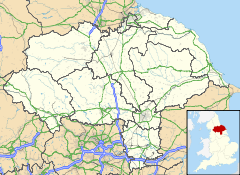
 Chapel-le-Dale shown within North Yorkshire
OS grid reference SD739769 Shire county North Yorkshire Region Yorkshire and the Humber Country England Sovereign state United Kingdom Post town Carnforth Postcode district LA6 Police North Yorkshire Fire North Yorkshire Ambulance Yorkshire EU Parliament Yorkshire and the Humber List of places: UK • England • Yorkshire Chapel-le-Dale is a hamlet in the Yorkshire Dales, England, very near Ribblehead Viaduct. The hamlet is in close proximity to Ingleborough and several potholes, the best known being Great Douk Cave. The source of the River Doe is nearby.
External links
Categories:- Villages in North Yorkshire
- Hamlets in England
- North Yorkshire geography stubs
Wikimedia Foundation. 2010.


