- Cheam Peak
-
Cheam Peak 
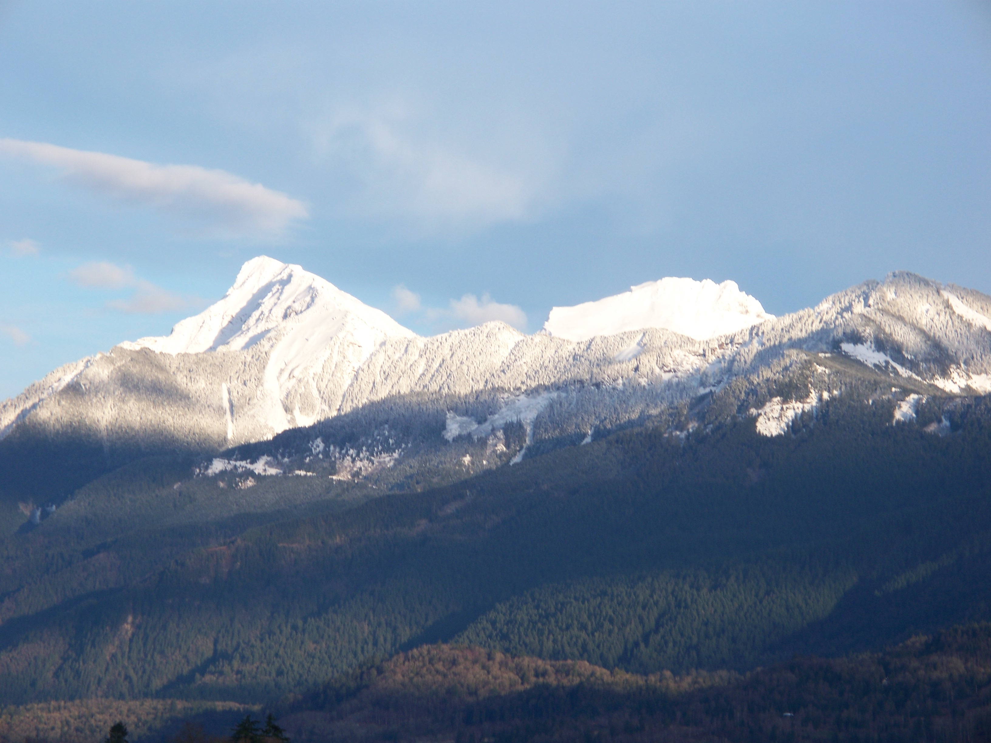
Mount Cheam as seen from Lady Peak.Elevation 2,104 m (6,903 ft) Prominence 334 m (1,096 ft) Location Location British Columbia, Canada Range North Cascades Coordinates 49°11′12″N 121°40′54″W / 49.18667°N 121.68167°WCoordinates: 49°11′12″N 121°40′54″W / 49.18667°N 121.68167°W Topo map NTS Map: 092.H.04 Climbing First ascent 1888 A. O. Campbell, Ebe B. Knight and party; probably ascended earlier by natives Easiest route Southwest Route (3.8 km trail with 632m elevation gain) Cheam Peak, called Theeth-uhl-kay in the Halqemeylem language of the Sto:lo and usually referred to as Mount Cheam, is the farthest northerly peak of the Cheam Range, a subrange of the Skagit Range of the Canadian Cascades mountains. It dominates the eastern Fraser Valley, rising above Bridal Falls and Agassiz just east of Chilliwack, and west of Hope British Columbia. The north face, plunging 2,000 m (6,562 ft) to the Valley floor, has rarely been climbed. However, an easy trail provides access to the summit from a subalpine bowl to the southwest.
Contents
Description
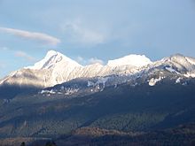
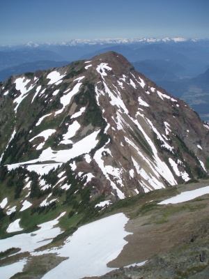
Cheam's structure is pyramidal, with north, northwest, south and east faces. While the north face is the steepest, the northwest face is also sheer. A prominent spur ending in the sub peak called "Red Pyramid" or "Red Tower" (1,400 m (4,593 ft)) divides the two northern faces. The western ridge divides the northwest and south faces; below the gently sloping south face is the subalpine bowl of Spoon Lake. The southeast ridge ascends from the col with Lady Peak, two km to the southeast; Jones Lake is below the east face. A sharp ridge divides the east and north faces.
History
Cheam Peak was part of the oral history of the Stó:lō First Nation. The Halkomelem name for the peak, Theeth-uhl-kay, means "the source" or "the place from which the waters spring." For the Sto:lo, the peak is the "mother mountain" or old woman overlooking her children dwelling in the valley. Lady Peak, to the south is the old woman's dog. Cheam, the official name of the peak, is the Halkomelem word for "wild strawberries." This describes the ridge that includes Cheam and Lady Peaks, and the lower slopes around Spoon Lake and upper Airplane Creek.
The first recorded ascent of the mountain was in 1888 by A. O. Campbell, Ebe B. Knight and party.
Hiking
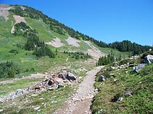 Part of the trail leading to Cheam Peak
The trailhead to Cheam Peak, is via decommissioned logging roads accessible from Chilliwack Lake Road on the south side of Cheam. Access with a four wheel drive vehicle is recommended. From the trailhead, a 3.8 km (2 mi) trail leads through subalpine meadows and then ascends, moderately steeply, 632 m (2,073 ft) to the peak. The summit offers views of the Fraser Valley to the north and west and of the Cheam Range and North Cascade mountains to the south.
One can also access Lady Peak via a route that begins about halfway up the Cheam Peak Trail.
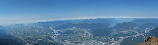 The view from the top of Cheam Peak.
External links
- "Cheam Peak". BC Geographical Names. http://apps.gov.bc.ca/pub/bcgnws/names/4979.html.
- "Cheam Peak". Bivouac.com. http://www.bivouac.com/MtnPg.asp?MtnId=1229.
- A hike to the top of Cheam Peak
Categories:- Mountains of British Columbia
- Canadian Cascades
- Lower Mainland


Wikimedia Foundation. 2010.