- McGarry, Ontario
-
McGarry — Township — Virginiatown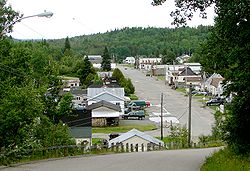

 McGarry
Coordinates: 48°08′N 79°35′W / 48.133°N 79.583°WCoordinates: 48°08′N 79°35′W / 48.133°N 79.583°W Country  Canada
Province  Ontario
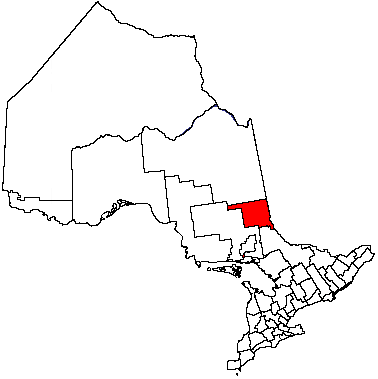
District Timiskaming Established Government – Type Township – Reeve Clermont Lapointe – Federal riding Timmins—James Bay – Prov. riding Timiskaming—Cochrane Area[1] – Land 86.05 km2 (33.2 sq mi) Population (2006)[1] – Total 674 – Density 7.8/km2 (20.2/sq mi) Time zone EST (UTC-5) – Summer (DST) EDT (UTC-4) Postal code P0K 1X0 Area code(s) 705 Website www.mcgarry.ca McGarry (2006 population 674) is a township in the Canadian province of Ontario, located within the Timiskaming District.
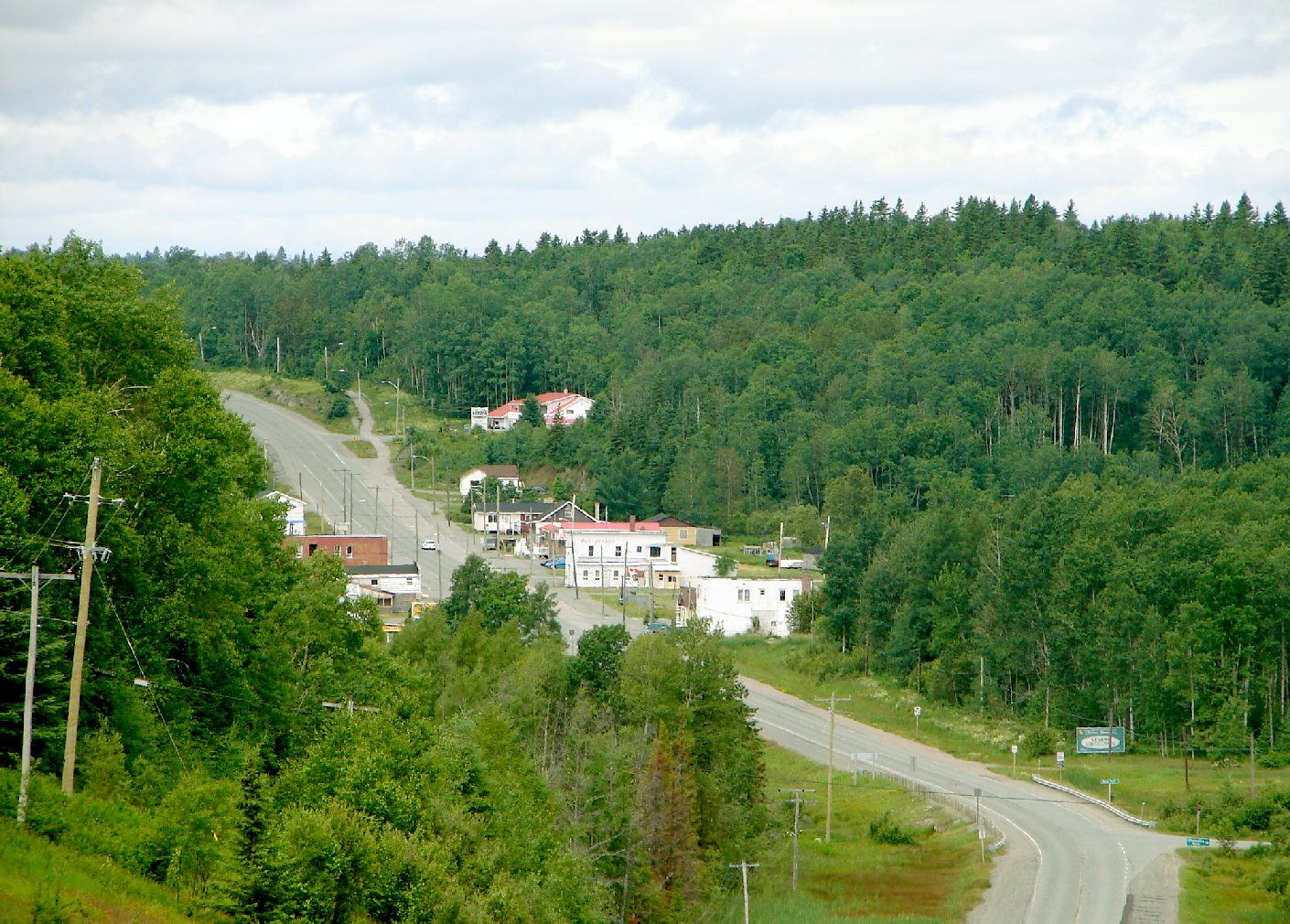
The township includes the communities of Virginiatown and Kearns. It is situated on the border with Quebec, along Highway 66 between Kirkland Lake and Rouyn-Noranda.
Demographics
Population:[2]
- Population in 2006: 674 (2001 to 2006 population change: -14.4 %)
- Population in 2001: 787
- Population in 1996: 1015
- Population in 1991: 1139
Private dwellings, excluding seasonal cottages: 325 (total: 429)
Mother tongue:
- English as first language: 30.5 %
- French as first language: 63 %
- English and French as first language: 1.5 %
- Other as first language: 5 %
 Kearns and highway 66.
References
External links
- Community profile (2008)
- Township of McGarry
- Image of McGarry Township Building, circa 1953 from RootsWeb

Unorg. East Timiskaming Larder Lake 
Rouyn-Noranda (Quebec)  McGarry

Unorg. West Timiskaming City 
Towns Townships Armstrong • Brethour • Casey • Chamberlain • Charlton and Dack • Coleman • Evanturel • Gauthier • Harley • Harris • Hilliard • Hudson • James • Kerns • Larder Lake • Matachewan • McGarryVillage ThornloeIndian Reserves MatachewanUnorganized areas East • WestSee also: Communities in Timiskaming District • Census divisions of OntarioCategories:- Township municipalities in Ontario
- Municipalities in Timiskaming District, Ontario
- Ontario communities with large francophone populations
- Northern Ontario geography stubs


Wikimedia Foundation. 2010.