- Oxford Circle, Philadelphia, Pennsylvania
-
Not to be confused with Oxford Circus.
Oxford Circle is a neighborhood in the lower Northeast section of Philadelphia, Pennsylvania, United States. Its namesake is the much used traffic circle 40°01′53″N 75°05′04″W / 40.031482°N 75.08449°W The Oxford Circle neighborhood has traditionally included the areas up to Rhawnhurst and Mayfair but does not really have a fixed boundary other than in publications about Philadelphia which are of a PR or informational nature. http://www.city-data.com/neighborhood/Oxford-Circle-Philadelphia-PA.html
Note: Oxford Circle is also the colloquial name for the nearby Summerdale neighborhood, which is located west of the Roosevelt Boulevard (US-1), opposite the city's Frankford section. Summerdale is for the most part a different neighborhood than the one being discussed here in this article.
Contents
Geography/Topography
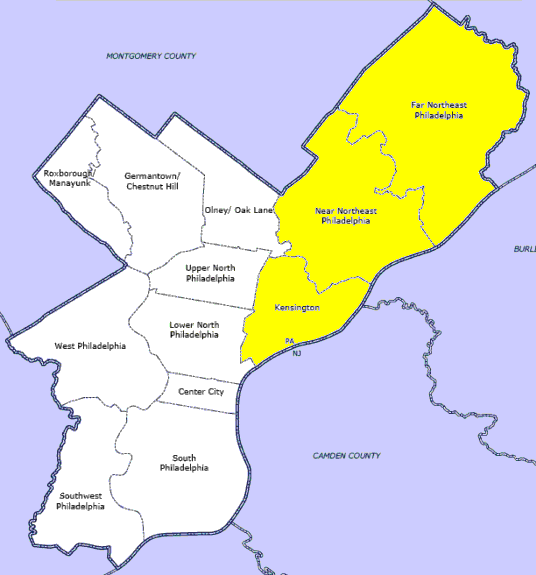
Physical boundaries are: Roosevelt Boulevard (US-1) on the southeast, Oxford Avenue on the west, and Cottman Avenue on the north. Oxford Circle's boundaries(including Castor Gardens)seem to have a general basis in the course of three creeks which were part of the landscape long before the development of the neighborhood. Most of Oxford Circle lies between these creeks. To the northwest was the Wissinoming Creek running from above Castor Ave. along Tyson and on towards Mayfair. To the east was the Pennypack Creek and to the southeast was the Tacony Creek. In 1928, a branch of the Tacony called the Little Tacony Creek still flowed from Castor Ave past Levick St. and Large St. and on to Roosevelt Blvd. This Little Tacony Creek connected into the main Tacony Creek which flows into the Delaware River near the site of today's Betsy Ross Bridge.
History
Oxford Circle, along with Castor Gardens, Mayfair, and Tacony was originally part of Oxford Township, Philadelphia County, Pennsylvania and was one of the early suburbs of Philadelphia.http://en.wikipedia.org/wiki/Oxford_Township,_Philadelphia_County,_Pennsylvania The area which included waterways such as the Tacony Creek and Wissinoming Creek had been mostly utilized for farming up until the time that the land was sold off to developers just prior to World War II.http://www.philageohistory.org/rdic-images/view-image.cfm/PTS1928.PhilaMetroAerials.055 Most of the brick and stone row houses which characterize this neighborhood today were built by the Hyman Korman Company starting in the early 1940s and continuing into the 1950s. During that time and in the 1960's and 1970s Oxford Circle was a relatively prosperous white middle class neighborhood and the majority of its residents were first and second generation Jewish Americans whose parents were Eastern European immigrants. A synagogue was established in the mid 1940's at Large St. and Roosevelt Blvd. which first began inside of a large tent. This tent soon became the highly visible Jewish community landmark known as the Temple Sholom Synagogue and the attached religious school. Throughout its history Temple Sholom served the local Jewish community in an exemplary manner providing worship services and Hebrew school instruction to the area's Conservative Jewish families and serving as a premiere venue for celebrations and memorials. The congregation's membership even included Hyman Korman the builder and other local notables such as Ike Richman, the owner of the Philadelphia Seventy-Sixer basketball team. Tragically two fires in l987 and 1988 nearly destroyed the synagogue and religious school. (http://nl.newsbank.com/nl-search/we/Archives?p_product=DN&s_site=philly&p_multi=PI Even more tragically, by the 1990s the steady exodus of the original Jewish Oxford Circle home buyers which had begun in the late 1950s had reached the point where Temple Sholom's membership had dwindled considerably and resulted in the eventual closure of the temple and the sale of the property. Other area temples like Beth Emeth and OCJCC followed suit as the congregations transferred their allegiances to other synagogues in the far Northeast, Bucks, and Montgomery Counties. [1] White Flight[2][3] and rising crime rates have dramatically changed this neighborhood over the past decade. Today's Oxford Circle contains a diverse population of peoples, including a large number of Latinos (Mexicans and Brazilians), Asians, and African-Americans.
Demographics
According to the US Census of 2000 for the area of 19149. The demographics are as follows.
General Characteristics Number Percent U.S. Total population 48,483 Male 22,732 46.9 49.10% Female 25,751 53.1 50.90% Median age (years) 35.7 (X) 35.3 Under 5 years 3,336 6.9 6.80% 18 years and over 36,005 74.3 74.30% 65 years and over 8,118 16.7 12.40% Source: U.S. Census Bureau, Summary File 1 (SF 1) and Summary File 3 (SF 3)
Government
- John P. Sabatina Jr., Esquire - Pennsylvania House of Representative District 174.
Structures and landmarks
- Tarken Playground
- Max Meyers Playground
- Spruance, Carnell, and Moore Elementary Schools
- Fels Junior High School
- Castor Ave. (shopping district)
- Bushrod Library
- Oxford Circle (traffic circle) 40°01′53″N 75°05′04″W / 40.031482°N 75.08449°W
- Saint Martin of Tours Church Roman Catholic Church[4]
Residents
- Jerry Shore - Photographer[5]
- Patrick Coleman - Philanthropist
- George Matysik - Activist[6]
- Sr. Mary Scullion - Co-Founder, Project H.O.M.E.[7]
- Phyllis Kaniss - Media scholar [8]
Education
Public libraries
Free Library of Philadelphia operates the Bushrod Branch at 6304 Castor Avenue at Stirling Street.[9]
References
- ^ Jewish Philly Neighbors - Oxford Circle
- ^ http://www.northeasttimes.com/2001/0131/stmartin.html Northeast Times
- ^ http://www.northeasttimes.com/2003/1113/pastor.html Northeast Times
- ^ Welcome to St. Martin of Tours
- ^ Street Life: The New Yorker
- ^ http://www.northeasttimes.com/2006/0907/janitor.html
- ^ http://www.philly.com/community/pa/philadelphia/netimes/NEWS_Sister_Mary_gives_life_support_to_homeless.html
- ^ http://www.philly.com/philly/blogs/cityhall/Top_Media_Scholar_Phyllis_Kaniss_Passes_Away.html
- ^ "Bushrod Branch." Free Library of Philadelphia. Retrieved on November 7, 2008.
Categories:- Neighborhoods in Philadelphia, Pennsylvania
- Jewish American history
- Philadelphia, Pennsylvania stubs
Wikimedia Foundation. 2010.