Oshiwara

Oshiwara

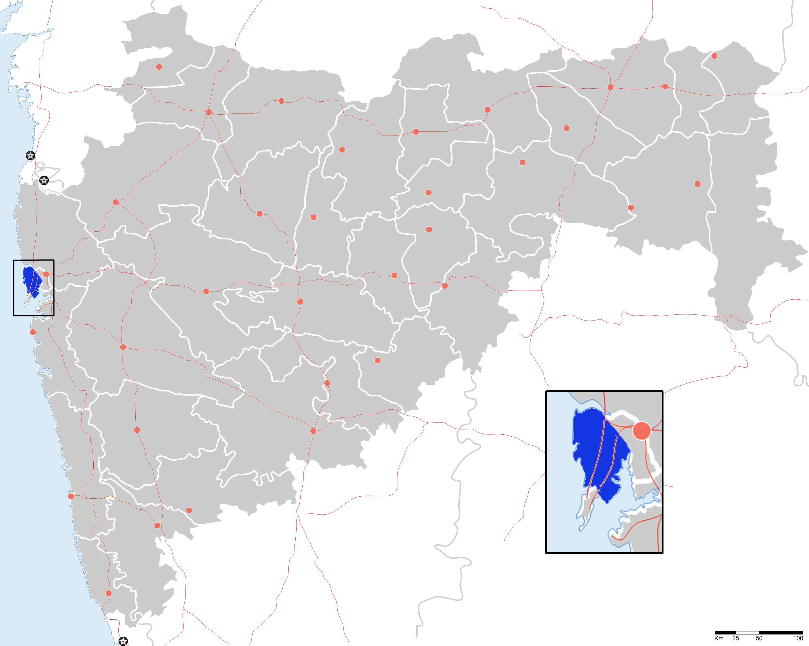
Oshiwara (Marathi: ओशिवाडा) is a neighbourhood in northern Mumbai, India very near to Lokhandwala Complex. The name of this neighbourhood was derived from the Oshiwara River. Located between the western sides of Goregaon and Jogeshwari, it has a large number of industrial estates. A railway station was scheduled to be completed by December 2008, but the work has not yet started.[1][2] This neighbourhood is also known for the antique and second hand furniture market located here.[3]

See also

References


Wikimedia Foundation. 2010.

Игры ⚽ Нужно сделать НИР?

Look at other dictionaries:

  • Oshiwara River — Coordinates: 19°09′33″N 72°48′59″E / 19.15917°N 72.81639°E / 19.15917; 72.81639 …   Wikipedia

  • Administrative divisions of Mumbai — The city of Mumbai, India, is divided into administrative divisions. Greater Mumbai is the urban agglomeration of 18 million people (largest in India and one of the six largest in the world) which comes under the Municipal Corporation of Greater… …   Wikipedia

  • Salsette Island — Infobox Islands name = Salsette image caption = The metropolis of Mumbai (formerly Bombay) and the city of Thane lie on Salsette Island. image size = locator Location map|India|lat=20|long=72 map custom = yes native name = साष्टी native name link …   Wikipedia

  • List of colleges in Mumbai — This is a list of reputed colleges in the city of Mumbai, India. Junior and three year degree colleges (Unless specified, the colleges are affiliated to the University of Mumbai. The reader is requested to verify the same) * Asmita College of… …   Wikipedia

  • Mumbai Suburban District — मुंबई उपनगर जिल्हा Location of Mumbai Suburban district in Maharashtra State …   Wikipedia

  • Liste weiterführender Bildungseinrichtungen in Mumbai — Mumbai beherbergt zahlreiche bedeutende Universitäten, Hochschulen, Forschungs und Bildungseinrichtungen. Inhaltsverzeichnis 1 Fachhochschulen 2 Architektur 3 Handel 4 Ingenieurwissenschaft …   Deutsch Wikipedia

  • Salsette — Vorlage:Infobox Insel/Wartung/Höhe fehlt Salsette Satelliten Aufnahme von Salsette Gewässer …   Deutsch Wikipedia

  • Sashti — Satelliten Aufnahme von Salsette Salsette (Portugiesisch: Salsete, Marathi: साष्टी, sāṣṭī, Sashti) ist eine 619 Quadratkilometer große Insel vor der Westküste des indischen Bundesstaates Maharashtra. Auf ihr befinden sich die beiden… …   Deutsch Wikipedia

  • Chandivali (Vidhan Sabha constituency) — Chandivali Vidhan Sabha constituency (Marathi: चांदिवली विधान सभा मतदारसंघ) is one of the 288 Vidhan Sabha constituencies of Maharashtra state in western India.[1] Contents 1 Overview 2 Members of Legislative Assembly …   Wikipedia

  • Charkop (Vidhan Sabha constituency) — Charkop Vidhan Sabha constituency (Marathi: चारकोप विधान सभा मतदारसंघ) is one of the 288 Vidhan Sabha (Legislative Assembly) constituencies in Maharashtra state in western India. Contents 1 Overview 2 Members of Legislative Assembly 3 …   Wikipedia

Share the article and excerpts

Direct link
Do a right-click on the link above
and select “Copy Link”