- Maham
-
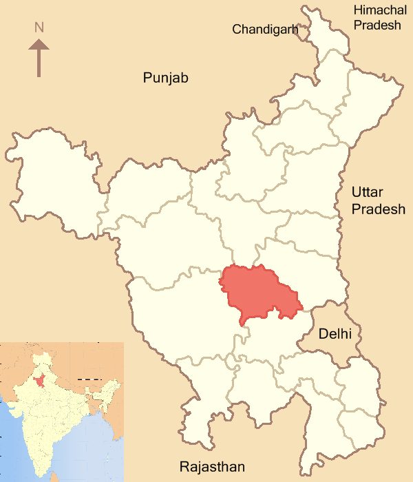
Meham — city — Coordinates 28°59′N 76°18′E / 28.98°N 76.3°ECoordinates: 28°59′N 76°18′E / 28.98°N 76.3°E Country India State Haryana District(s) Rohtak Population 18,166 (2001[update]) Time zone IST (UTC+05:30) Area
• 214 metres (702 ft)
Meham is a city and a municipal committee in Rohtak district in the Indian state of Haryana.
Contents
Geography
Meham is located at 28°59′N 76°18′E / 28.98°N 76.3°E.[1] It has an average elevation of 214 metres (702 feet). It is situated on National Highway 10. It is a major stop between two cities Delhi and Sirsa.
Demographics
As of 2001[update] India census,[2] Meham had a population of 18,166. Males constitute 54% of the population and females 46%. Maham has an average literacy rate of 66%, higher than the national average of 59.5%: male literacy is 72%, and female literacy is 59%. In Maham, 15% of the population is under 6 years of age.
History and notable personalities
Meham is known for four B's in the vicinity. First B is referred to BAOLI (a historical water storage tank) built by Mughals. Second B is referred to BER (Plum), Plum of Meham is famous for their sweet taste. Third B is referred to BAWLE (crazy people), Meham has a history of craziness done by its inhabitants. Fourth B is Batte ( Stones), Because of its historical background in spite of sand big amount of stones are found during excavation. There are few myths about it. One is that there was some Mughal Army Chief was going with his army riding his horse. Someone from the local public taunted about his dress, the army chief got annoyed and order the army to destroy the whole town. It is famous that Meham has been ruined three times and the remains of those are still available in the area. Whenever an excavation is done in the area, ruins of past are found. Popular example of craziness of people of Meham is very recent when in 1990 Chief Minister of that time Om Parkash Chautala was contesting election from Meham constituency (there is a rule in Indian constitution that everybody who is on Chief Minister position should be a member of either houses of assembly, Since Haryana has only one house in assembly, he was contesting election of MLA). People revolted against him, He employed force and tried to influence the mass with Power of Government, People revolted, election was cancelled three times and ultimately Om Parkash Chautala has to resign and an independent candidate the election. Archaeologists exploring the ruins - found under three metres of a mud hillock in the Meham area of Rohtak district - said that an ancient city dating back to the 5,000-year-old Harappan civilisation was being traced. It could be of the Rig Veda era, one official said. Further exploration at the site - referred to as Daksh Khera and located about 100 km from New Delhi - is on. So far only towns and villages - namely Banawali, Bhirdana, Rakhigarhi and Kunal - dating back to the Harappan civilisation had been found in Haryana. No ancient city had been discovered. Archaeologists made the discovery following a media report that a very old skeleton had been found near Farmana Khas village, 12 km from Meham town. Before partition "Pirzada Siddiqui" lived in Maham and Rohtak. They introduce islam in whole haryana. The Rajputs, Meo and Jats accepted islam due to his compassionate behaviour and preaching of truth that GOD is one. They are the most politically conscious people of Meham and Rohtak. in 1947 they migrated Pakistan. There are two mosques in Maham Jama masjid and Pirzada masjid. The Pirzada masjid constructed by Pirzada family of Maham. The other famous place of the city is tomb of Hadi Haryana "Hazrat Shah Muhammad Ramzan Mahami "&" Hazrat Shah Ghulam Hussain Mahami (Takht Walay)". Now these tombs are in ruined position and are almost disappeared. Both mosques have been converted into 'Gurudwara'(forcefully) after partition and Sikhs and Punjabis (Multani people who migrated from Pakistan in 1947) are using these Gurudwaras for prayer and other religious functions. These 'Gurudwara's now known as bada gurudwara and chota gurudwara and these represent two different societies of multanis/punjabies in meham, that lives near ward no. 10 (bada gurdwara) and ward no.7 (old name/famous name, actual name ward no. 4). There are lot of Historic Hawelis in the city.
Schools
Lyceum Public School
HD Senior Secondary School
Maharaja Aggrasen Public SchoolTransport
The small city is well connected to all nearby cities through bus transport though there is no connectivity for railways but the bus connectivity is very good.There is good service of Haryana Roadways buses, private buses and cabs.
Parks
There is a good and spacious park in city named as 'Huda Park' where huge crowd can be found in mornings and evenings.There is also a stadium for playing games.
Temples
Half a kilometer away there is a Old Temple names as 'Sati Dadi Mandir'.People from all across india come here for the Pooja and get the blessings of Sati Dadi. There is a strong belief of people in Sati Dadi Mandir.Also here Mundan Ceremonies are organised by Families. There is also Temple named as 'Sheetalpuri Mandir' near about 500 years old.
References
- ^ Falling Rain Genomics, Inc - Maham
- ^ "Census of India 2001: Data from the 2001 Census, including cities, villages and towns (Provisional)". Census Commission of India. Archived from the original on 2004-06-16. http://web.archive.org/web/20040616075334/http://www.censusindia.net/results/town.php?stad=A&state5=999. Retrieved 2008-11-01.
Rohtak district topics Geography 
Cities and towns Transport Education Lok Sabha constituencies Categories:- Cities and towns in Rohtak district
- Haryana geography stubs


Wikimedia Foundation. 2010.