- Dahr El Maghara
-
Dahr El Maghara
ﺿﻬﺮ ﺍﻟﻤﻐﺎﺭﺓ— Village — Location within Lebanon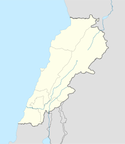
 Dahr El Maghara
Coordinates: 33°41′N 35°27′E / 33.683°N 35.45°ECoordinates: 33°41′N 35°27′E / 33.683°N 35.45°E Country Lebanon Governorate Mount Lebanon Governorate District Chouf District Time zone EET (UTC+2) – Summer (DST) EEST (UTC+3) Postal code Dialing code +961 Dahr El Maghara (also spelled Dahr El Mghara or Dahr Al Magharah; Arabic: ﺿﻬﺮ ﺍﻟﻤﻐﺎﺭﺓ) is a small Lebanese Christian village that is located 33°41′N 35°27′E / 33.683°N 35.45°E, about 20 km south of Beirut in the Chouf region of Mount Lebanon.
The village is mainly home to the Dagher family, although new construction around the area has led to numerous other families calling the village home. The village felt the wrath of the Lebanese Civil War (1975–1990) which led half the population to migrate to Australia, Canada and other areas of Lebanon (although strong ties between the Dagher family in Australia and Canada to the small village remain).
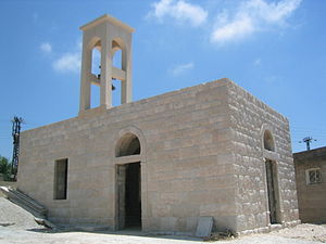 St. Elias Church Dahr El Maghara
See also
- Chouf
Categories:- Lebanon geography stubs
- Chouf District
- Populated places in the Mount Lebanon Governorate


Wikimedia Foundation. 2010.