- Chiplun
-
Chiplun — city — Coordinates 17°32′N 73°31′E / 17.53°N 73.52°ECoordinates: 17°32′N 73°31′E / 17.53°N 73.52°E Country India State Maharashtra District(s) Ratnagiri Population 46,213 (2001[update]) Time zone IST (UTC+05:30) Area
• 7 metres (23 ft)
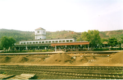
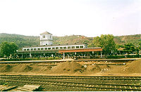 Chiplun railway station
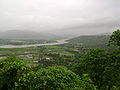
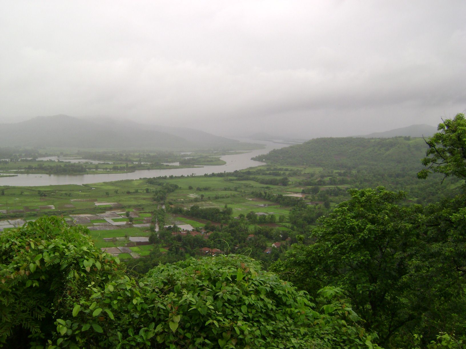
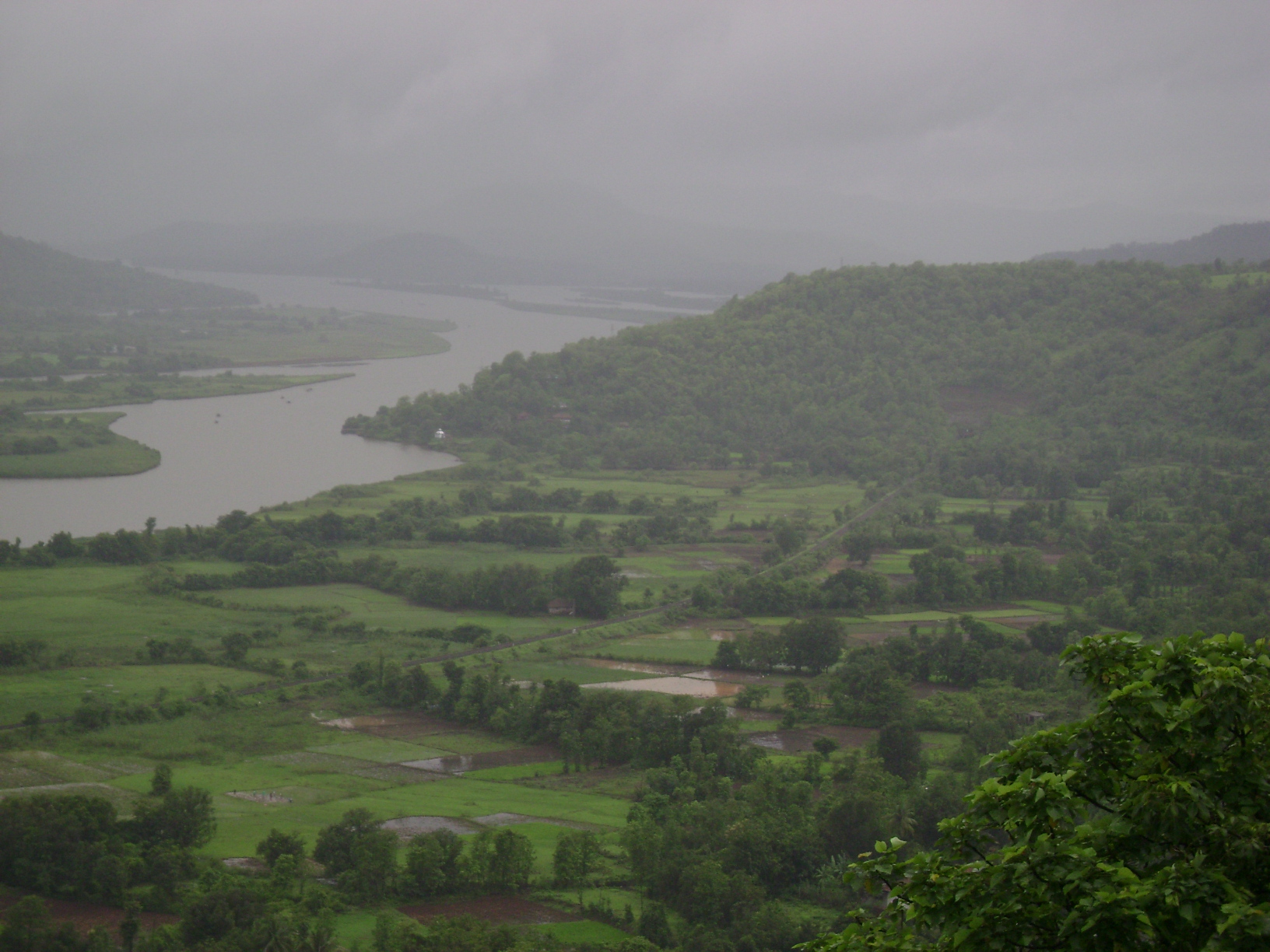
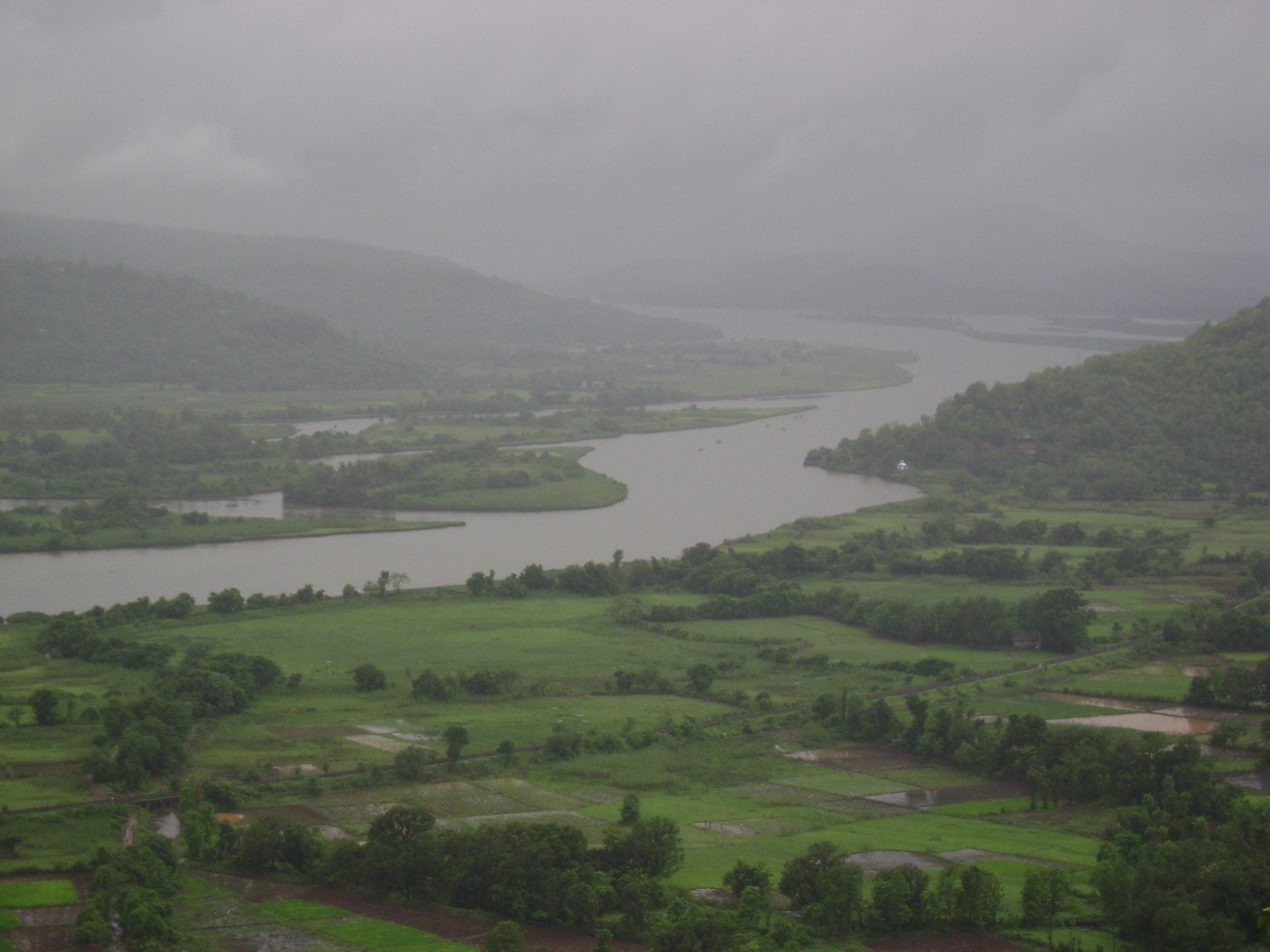
 Chiplun scenery from Parshuram Ghat.
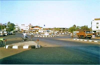
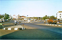 Bahadur Sheik Naka in Chiplun
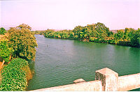 Chiplun is situated on the banks of the Vashisti River
Chiplun (Marathi: चिपळूण) is a city and a municipal council in Ratnagiri district in the state of Maharashtra, India. Located on the Mumbai–Goa highway (NH-17) in western India. The city is about 320 km south of Mumbai in the Konkan region of Maharashtra. It is a fast developing city in Konkan with a strong cultural background. The name Chiplun means "The abode of Lord Parshurama".
Contents
Geography
The city lies on the banks of the River Vashishti. To the east of the city lie the Western Ghats and to the west lies Guhagar. The region has a tropical climate. The 'rainy season' — the monsoon lasts normally from June till October. The Koyna Hydroelectric Power Project Stages III and IV are situated in Chiplun.
Demographics
At the 2001 India census,[1] Chiplun had a population of 46,213. Male constituted 50% of the population and female 50%. Chiplun had an average literacy rate of 0%, higher than the national average of 59.5%; with male literacy of 0% and female literacy of 0%. 12% of the population was under 6 years of age.
The city
The city has its own theatre Indira Gandhi Sanskrutik Kendra, and a stadium for sports is being constructed. A municipal looks after the civic needs of the city. High School-Chiplun, Marathi High School-Kaluste, Parshuram education societie,s United English school, Motiwala High School and Nav-Konkan Educational societies D.B.J. College are the oldest educational institutes in the city catering the need for the taluka.
There are two Marathi-medium schools in Chiplun most notably S.P. English medium School and L.M.B.School.There is also some other schools S. D. English medium School and Christ Jyoti Convent School. There is another very old shcool named United English medium school located at center of the city. It also has an engineering college: Rajaram Marathi College of Engineering affiliated to the University of Mumbai, which is located a few kilometres outside the city. Since there has been lot of thrust lately of grooming up to city standards,there is the famous Maginot World which is into Personality Development & Spoken English for the college kids.Since the city is on a busy National Highway, it also caters to travellers en route to W and E. It is also a junction for those travelling to the Dhabol, where an project 'Sangla Buggla' failed ending up lot of locals jobless that created vacuum among lot of youngsters during that time, but the place is unaffected as the people are self motivated culturally. The city links the western coast to the interior parts of Maharashtra, one of the few places in that region. Bharati shipyard (Dhabol) is near to Chiplun. Chiplun was severely devastated in the 2005 Maharashtra floods in which it received 300 mm of rain on 2005-07-25.
It is a land of traders, It trades in fish, dried fish (red colour fish) and juices. It has more of beauty. The city has its own Hotel developed first in Maharashtra near riverview, though sadly sometimes the city is been labelled as an industrial town catering to mostly pharmaceutical and chemical industries. Chiplun is famous for its s and also known as place , The water fall known as fall attract the tourists in month of june and july
Gallery
-

Chiplun scenery from Parshuram Ghat.
-

Chiplun scenery from Parshuram Ghat.
-
Chiplun scenery from Parshuram Ghat.
L.M.B School is an English Medium Scool.
Transportation
Chiplun is connected to other parts of the country mainly by National Highway 17 (NH-17). This highway connects Chiplun to Mumbai, Thane, Ratnagiri, Mangalooru, Karwar, Udupi. There is a railway station at Chiplun on Konkan railway route which also connects above these destinations. There are several district roads which connect villages to district headquarters and Chiplun town. Nowadays we can go chiplun from pune also.
Chiplun (CHI) Next 'Small' station towards Mumbai:
AnjaniKonkan Railway : Railway (India) Next 'Small' station from Mumbai:
KamatheDistance from Mumbai(CST) = 292 KM Next 'Main' station towards Mumbai:
KhedKonkan Railway : Railway (India) Next 'Main' station from Mumbai:
RatnagiriReferences
- ^ "Census of India 2001: Data from the 2001 Census, including cities, villages and towns (Provisional)". Census Commission of India. Archived from the original on 2004-06-16. http://web.archive.org/web/20040616075334/http://www.censusindia.net/results/town.php?stad=A&state5=999. Retrieved 2008-11-01.
External links
Categories:- Railway stations on Konkan Railway
- Talukas in Maharashtra
- Cities and towns in Ratnagiri district
-


Wikimedia Foundation. 2010.