- Marsh Island (Louisiana)
-
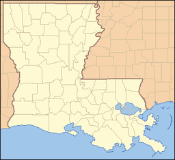
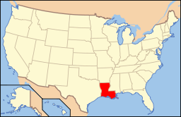
Marsh Island Uninhabited area Country United States State Louisiana Parish Iberia Elevation 1 ft (0.3 m) [1] Coordinates 29°33′59″N 91°50′46″W / 29.56639°N 91.84611°W Population 0 (2010) Timezone CST (UTC-6) - summer (DST) CDT (UTC-5) Area code 337 Marsh Island (French: Grosse-Île-du-Vermillion[2]) is an island off the coast of southern Louisiana in the United States.
Marsh Island is an uninhabited low-lying marshy island in Iberia Parish, south coastal Louisiana, lying between Vermilion Bay and the Gulf of Mexico. It is bordered on the south by the Gulf of Mexico and is separated from mainland Louisiana by East Cote Blanche Bay to its east, West Cote Blanche Bay to its north, Vermilion Bay to its northwest, and Southwest Pass to its west.[3]
Vegetation is primarily of the marshy types, and the island is almost treeless. On the island is the Marsh Island Wildlife Refuge, a wild bird sanctuary for species such as the snow goose. Other animals which inhabit the island include alligators, ducks and other waterfowl, crabs, and shrimp. The island is popular for recreational fishing.
The island has a land area of 258.95 square kilometers (99.98 sq mi) and had no population as of the 2000 census.
References
- ^ "Jarreau, Louisiana". Geographic Names Information System. United States Geological Survey. June 4, 1980. http://geonames.usgs.gov/pls/gnispublic/f?p=gnispq:3:::NO::P3_FID:543338. Retrieved 2008-06-29.
- ^ http://www.thecajuns.com/oldnew.htm
- ^ Webster's New Geographical Dictionary, 1984, pp. 690, 734.
- Webster's New Geographical Dictionary. Springfield, Massachusetts: Merriam-Webster, Inc., 1984. ISBN 0-87779-446-4.
External links
Categories:- Geography of Louisiana
- Protected areas of Iberia Parish, Louisiana
- Islands of Louisiana
- Nature reserves in Louisiana
Wikimedia Foundation. 2010.


