- Chemin Vert (Paris Métro)
-
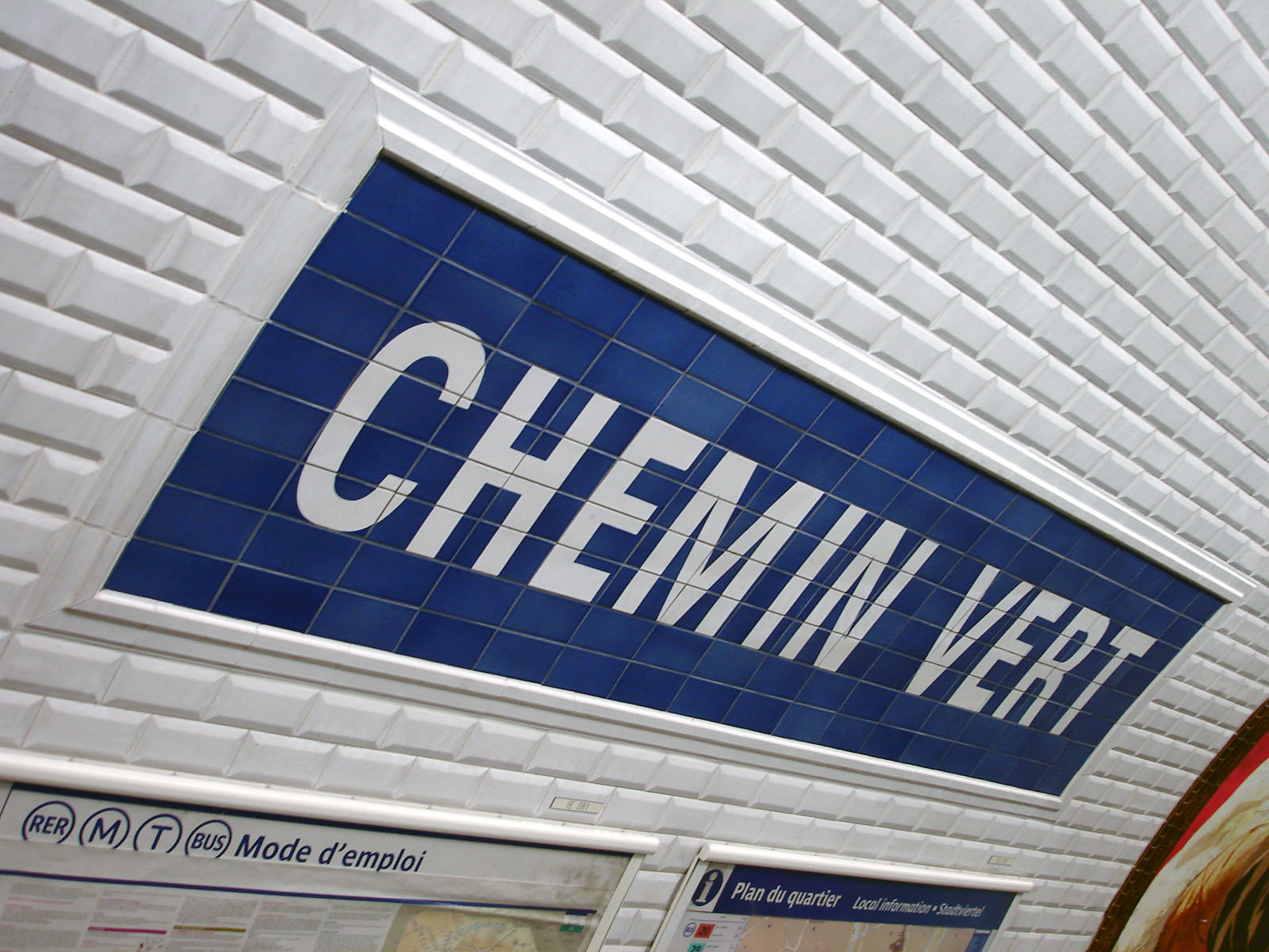
Chemin Vert 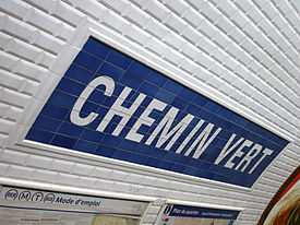
Date opened 5 May 1931 Municipality/
Arrondissementthe 3rd arrondissement of Paris Fare zone 1 Next stations Paris Métro Line 8 Direction
BalardDirection
Créteil – PréfectureSaint-Sébastien - Froissart Bastille List of stations of the Paris Métro 
 Location of metro station
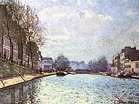
Chemin Vert is a station of the Paris Métro, named after the Rue de Chemin Vert.
The station opened on 5 May 1931 with the extension of the line from Richelieu - Drouot to Porte de Charenton. The Rue de Chemin Vert (green path) follows the route of an old foot path through the middle of market gardens. In 1868 the Rue de Chemin Vert was extended from the Rue des Amandiers-Popincourt to the Barrier des Amandiers, a gate on the former Wall of the Farmers-General.
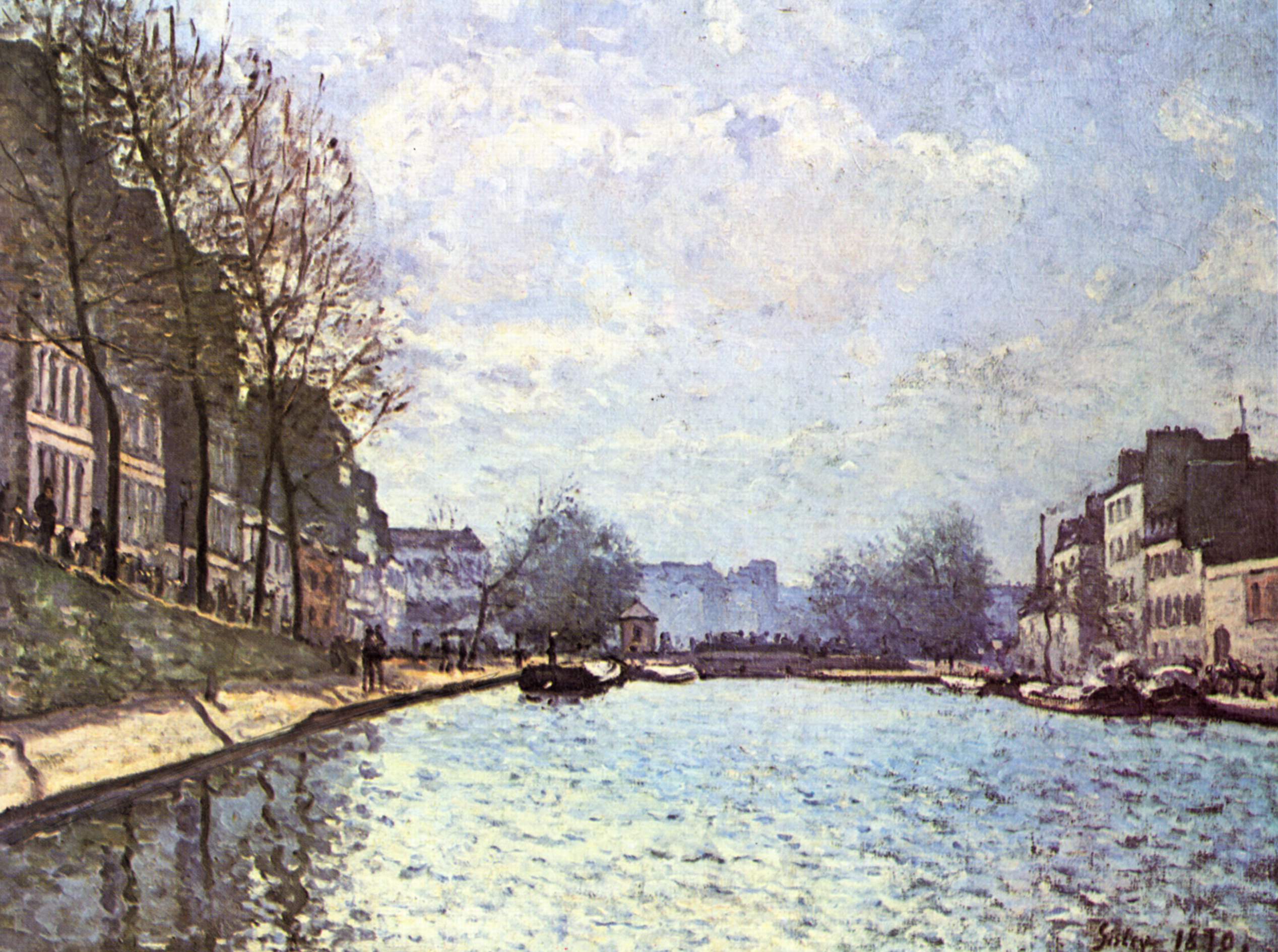
Nearby are the Canal Saint-Martin and the Place des Vosges.
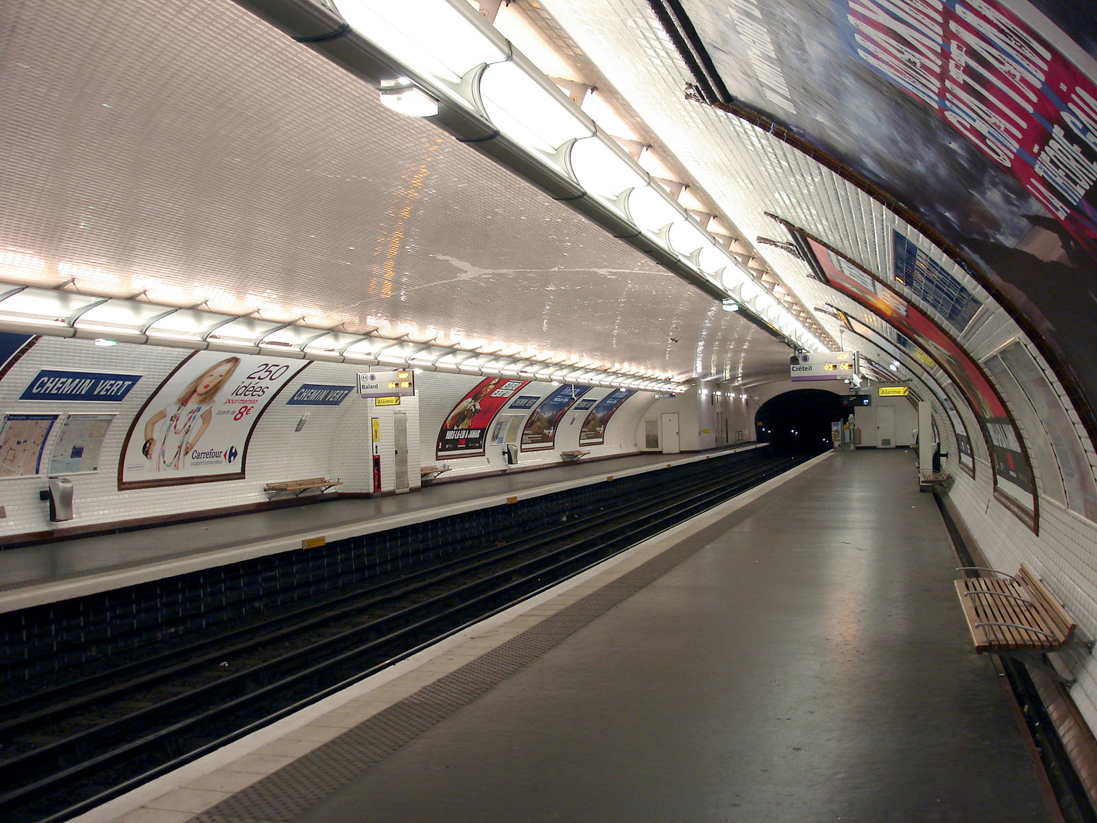
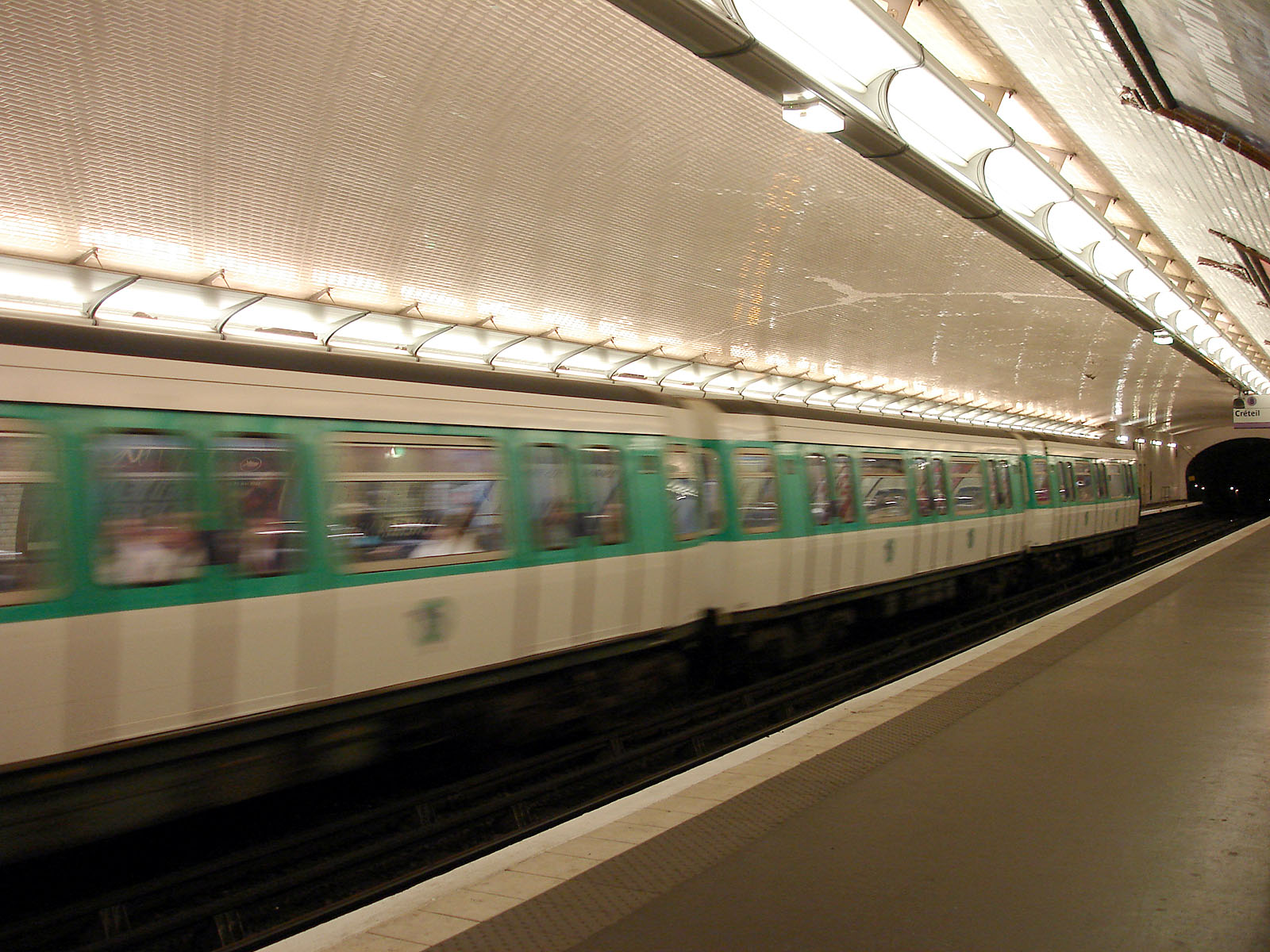
Gallery
Paris Métro Line 8 Balard

 • Lourmel • Boucicaut • Félix Faure • Commerce • La Motte-Picquet — Grenelle

 • École Militaire • La Tour-Maubourg • Invalides

 • Concorde
 • Madeleine
  • Opéra

 • Richelieu — Drouot
  • Grands Boulevards • Bonne Nouvelle • Strasbourg — Saint-Denis
  • République
 • Filles du Calvaire • Saint-Sébastien — Froissart • Chemin Vert • Bastille • Ledru-Rollin • Faidherbe — Chaligny • Reuilly — Diderot • Montgallet • Daumesnil • Michel Bizot • Porte Dorée • Porte de Charenton • Liberté • Charenton — Écoles • École Vétérinaire de Maisons-Alfort • Maisons-Alfort — Stade • Maisons-Alfort — Les Juilliottes • Créteil — L'Échat • Créteil — Université • Créteil — Préfecture
Coordinates: 48°51′24″N 2°22′06″E / 48.856778°N 2.368348°EThis article related to the Paris Métro is a stub. You can help Wikipedia by expanding it. -