- Mullaitivu
-
Coordinates: 9°17′N 80°48′E / 9.283°N 80.8°E
Mullaitivu
முல்லைத்தீவு
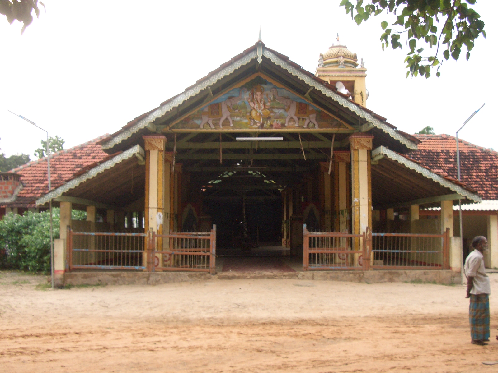
මුලතිව්— Town — Hindu temple in Mullaitivu Location in Sri Lanka
 Mullaitivu
Coordinates: 9°17′N 80°48′E / 9.283°N 80.8°E Country Sri Lanka Province Northern District Mullaitivu DS Division Maritimepattu Population (2009) – Total 37,339 (est.) Time zone Sri Lanka Standard Time Zone (UTC+5:30) Mullaitivu (Tamil: முல்லைத்தீவு, Sinhala: මූලදූව) is a small town on the north-eastern coast of Sri Lanka. It is the capital of Mullaitivu District in the Northern Province of Sri Lanka. A largely fishing settlement, the town in the early 20th century grew as an anchoring harbour of the small sailing vessels transporting goods between Colombo and Jaffna. The town has a District Secretary's office, many other government institutions and schools located in and around the area.
The town was an LTTE-controlled area, with the Tigers having a large military base in the town and has been the theatre of many battles fought since 1983 in the Sri Lankan Civil War against the Tamil Tigers. It was damaged by the 2004 Indian Ocean tsunami with a large loss of life.
The Sri Lankan Army took control of the town on January 25, 2009, in the Battle of Mullaitivu in its offensive against the LTTE.
Gallery
-

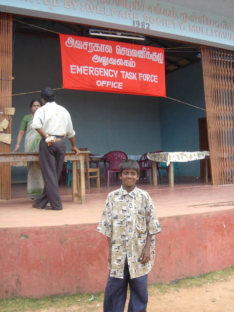
Welfare office, 2004
-

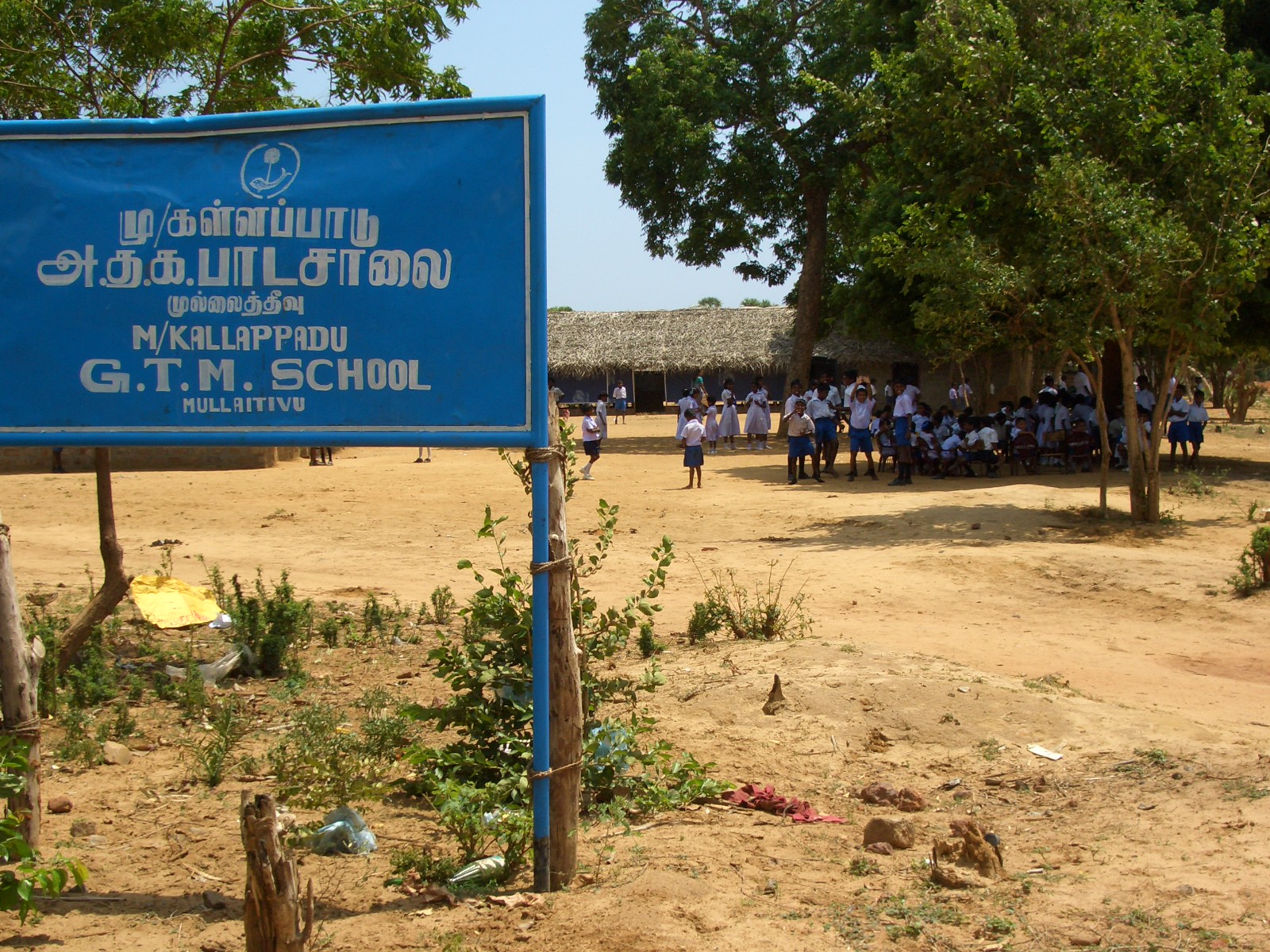
Mullaitivu Kallapadu GTM School
-

LTTE sea tigers loading a ship at Mullaitivu, 2005
-

Norwegian monitoring mission during the ceasefire, 2006
External links
 Media related to Mullaitivu at Wikimedia CommonsCategories:
- Mullaitivu
- Populated places in Northern Province, Sri Lanka
- Northern Province, Sri Lanka geography stubs
-


Wikimedia Foundation. 2010.