- Ouarzazate
-
Ouarzazate
ⵡⴰⵔ ⵣⴰⵣⴰⵝ
WarzazatKasbah Taourirt in eastern Ouarzazate Location in Morocco
 Ouarzazate
Coordinates: 30°55′N 6°55′W / 30.917°N 6.917°W Country  Morocco
Region Souss-Massa-Draâ Elevation 3,776 ft (1,151 m) Population (2004) – Total 56,616 Ouarzazate (Berber: ⵡⴰⵔ ⵣⴰⵣⴰⵝ Warzazat, Arabic: ورزازات, lit. "noiselessly"), nicknamed The door of the desert, is a city and capital of Ouarzazate Province in the Souss-Massa-Draâ of southern-central Morocco. Ouarzazate is located at an elevation of 1,160 metres (3,810 ft) in the middle of a bare plateau south of the High Atlas Mountains. To the south of the town is the desert.
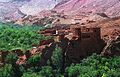
The town is chiefly inhabited by Berbers, who constructed many of the prominent kasbahs and buildings for which the area is known. Ouarzazate is an important holiday destination in Morocco, as a base for excursions across the Draa Valley and into the desert. The fortified village (ksar) of Ait Benhaddou west of the city is a UNESCO World Heritage Site.
The Ouarzazate area is also a noted film-making location, with Morocco's biggest studios inviting many international film companies to shoot their films. Films such as Lawrence of Arabia (1962), The Living Daylights (1987), The Last Temptation of Christ (1988), The Mummy (1999), Gladiator (2000), Kingdom of Heaven (2005), Kundun (1997) and Legionnaire (1998) were shot here.
Contents
Etymology
Its name comes from a Berber phrase meaning "without noise" or "without confusion".
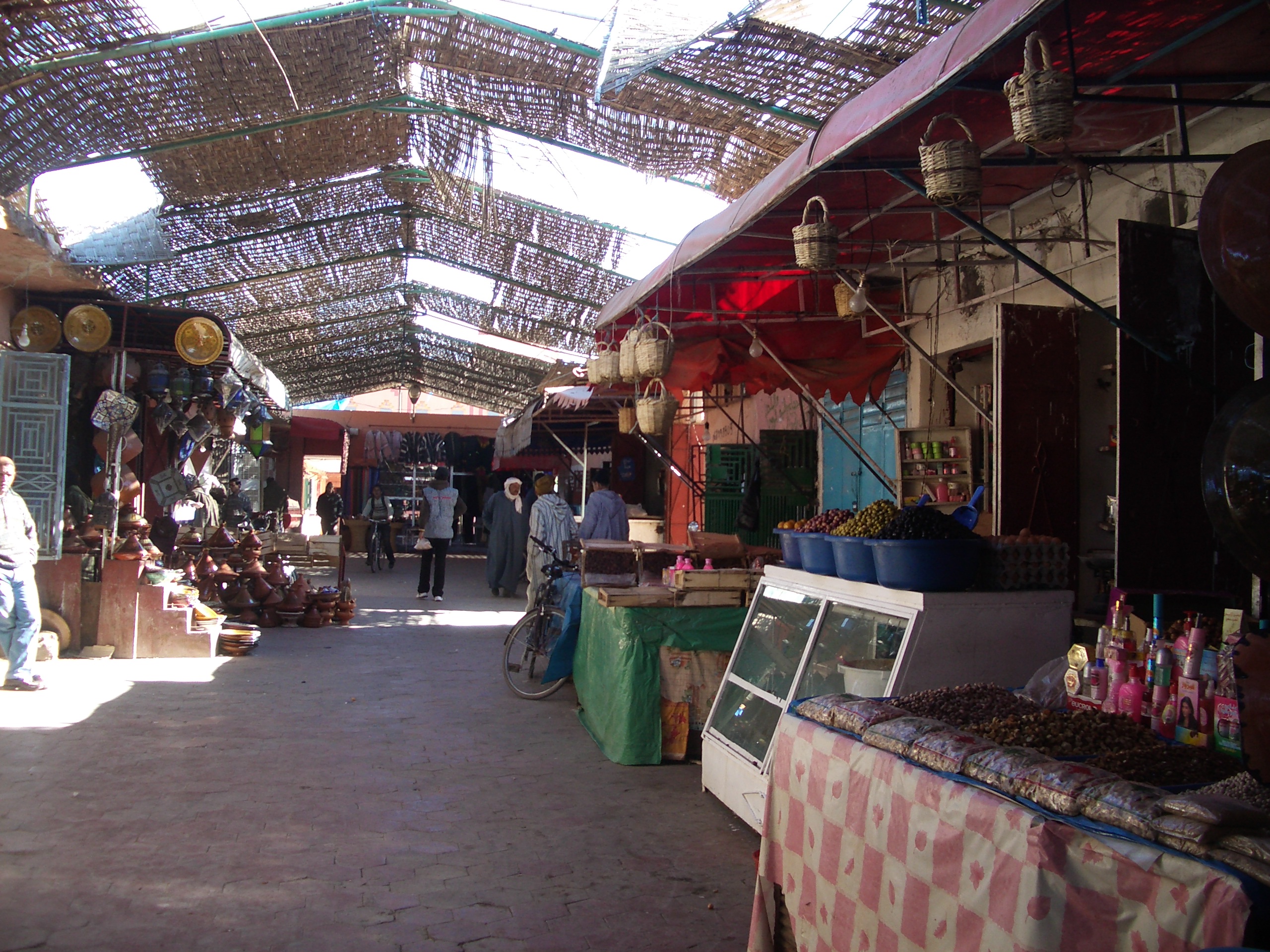
 The souk
History
For a long time, Ouarzazate was a small crossing point for African traders on their way to northern Morocco and Europe. During the French period, Ouarzazate expanded considerably as a garrison town, administrative centre and customs post. It is home to the kasbah of Taourirt, which was the casbah of the former caïd and later owned by T'hami El Glaoui. The Krupps field gun which secured Glaoui power is displayed outside the kasbah today.
The area is also known for its Ouazguita carpets with geometric designs of red-orange on black background.
Climate
The town is hot and dry in summer, but can be very cold in winter, with icy winds coming from the High Atlas Mountains.
Climate data for Ouarzazate Month Jan Feb Mar Apr May Jun Jul Aug Sep Oct Nov Dec Year Average high °F (°C) 65
(18)68
(20)74
(23)81
(27)88
(31)98
(37)104
(40)102
(39)93
(34)81
(27)72
(22)63
(17)82 Average low °F (°C) 34
(1)38
(3)44
(7)50
(10)56
(13)63
(17)68
(20)69
(21)62
(17)53
(12)45
(7)36
(2)52 Precipitation inches (mm) 0.3
(8)0.2
(5)0.5
(13)0.2
(5)0.1
(3)0.1
(3)0.1
(3)0.2
(5)0.6
(15)0.6
(15)0.6
(15)0.5
(13)4
(102)[citation needed] Film studios
 Ouarzazate Film studios
Atlas Studios is one of the largest movie studios in the world. Several historical movies were shot here, including Asterix & Obelix: Mission Cleopatra, Lawrence of Arabia, The Man Who Would Be King, Kingdom of Heaven and Babel. It was also the location of an episode of the television series The Amazing Race 10.
Sights nearby Ouarzazate
The kasbah-town of Aït Benhaddou is nearby. Many excursions through the valley of the Draa River into the Sahara start from the city. These include trips to Zagora, an oasis town surrounded by palm tree plantations and a departure point for camel trains to Timbuktu, a journey that would take about 52 days. These days the border to Algeria is closed, stopping the Timbuktu route.
Mapping
Detailed maps are hard to obtain in Morocco. The French IGN mapping at a 1:100,000 scale has been reproduced by the Moroccan Division de la carte. These maps are often out of date and obtained only with special permission in Rabat. Soviet mapping on a 1:200,000 scale is available on the Internet, but these are also generally outdated and show the names of places in Cyrillic letters only.
A new series of maps are available, including the EWP and WCP (2008). Ouarzazate Region (Map). 1:160,000 Map and Guide. Atlas Mountains Morocco. Cartography by EWP (1st ed.). ISBN 9780906227992. http://www.ewpnet.com/maps/HI.htm.
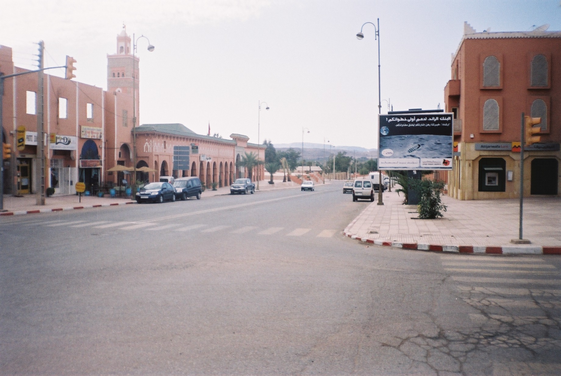
-
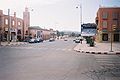
A street in Ouarzazate
-

Kasbah Ait Benhaddou
-
Kasbah Aksar
-

Oasis du Fint
-

The backside of Kasbah Taourirt
-

Ouarzazate old town
-

Film props at Atlas Studios
See also
- Tizi n'Tichka: The mountain pass that leads to Ouarzazate
- List of Movies shot in Morocco
External links
- Movies shot in Ouarzazate at IMDb
Coordinates: 30°55′N 6°55′W / 30.917°N 6.917°W
 Souss-Massa-Draa regionCapital: Agadir
Provinces Agadir-Ida Ou Tanane Province · Chtouka Aït Baha Province · Inezgane-Aït Melloul · Ouarzazate Province · Taroudant Province · Tiznit Province · Zagora Province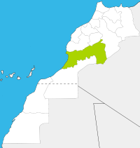
Cities Agadir · Agdz · Ait Baha · Ait Iaaza · Aït Melloul · Aoulouz · Aourir · Biougra · Boumalne Dades · Drarga · El Guerdan · Inzegan · Irherm · Kelat Megnouna · Lakhsas · Lqliaa · Massa · Ouarzazate · Oulad Berhil · Oulad Teima · Sidi Ifni · Skoura · Tabounte · Tafrawt · Taliouine · Taroudant · Taznakht · Temsia · Tinghir · Tiznit · ZagoraCategories:- Souss-Massa-Draâ Region
- Populated places in the Souss-Massa-Draâ Region
-


Wikimedia Foundation. 2010.