- Molas Pass
-
Molas Pass 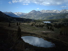
Molas Pass signElevation 10,910 ft (3,325 m) Traversed by U.S. Highway 550 Location Location San Juan County, Colorado, USA Range San Juan Mountains Coordinates 37°44′16″N 107°41′53″W / 37.73778°N 107.69806°W Topo map USGS Snowdon Peak  360 Panorama of Molas Pass - May 29th 2007
Molas Pass (el. 10,910 ft./3325 m.) is a high mountain pass in the San Juan Mountains of western Colorado in the United States.
The pass is in the San Juan National Forest. The pass is traversed by the Million Dollar Highway, U.S. Highway 550 south of Silverton, which is part of the San Juan Skyway Scenic Byway. Though it is one of the higher passes in Colorado, it has only a few switchbacks on the north approach, is considerably less intimidating than Red Mountain Pass on the same highway, and is generally kept open in the winter months.
Molas Pass is also the last mountain pass of the Iron Horse Bicycle Classic race, where riders race the train from Durango to Silverton.
-
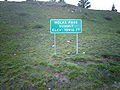
Molas Pass sign
-

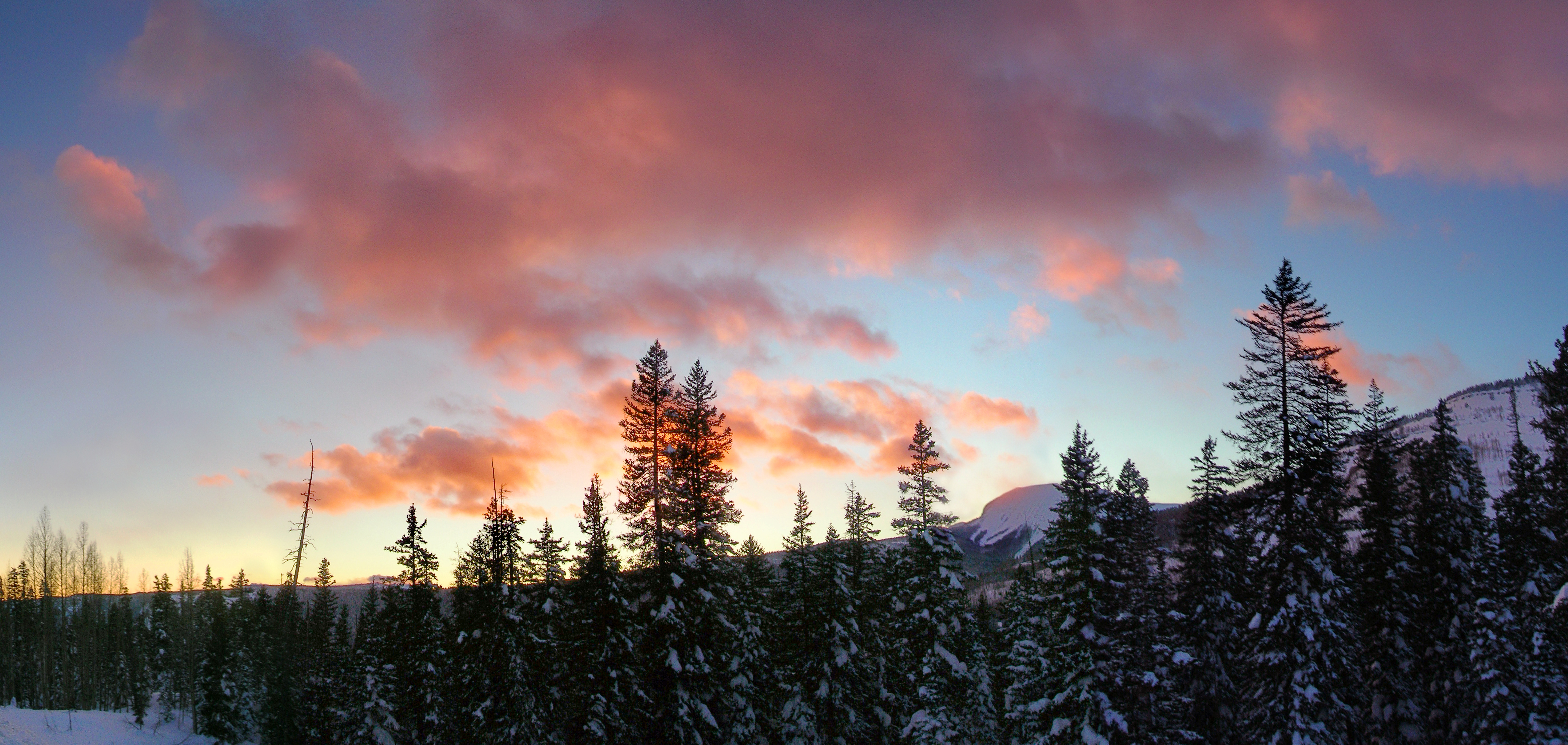
Sunset over the southern approach to Molas Pass, March 2008
Passes Coal Bank Pass • Molas Pass • Red Mountain PassTowns National Forests Other Categories:- Mountain passes of Colorado
- Geography of San Juan County, Colorado
- Transportation in San Juan County, Colorado
- Colorado geography stubs
-


Wikimedia Foundation. 2010.