- Coomera River
-
Coomera River 
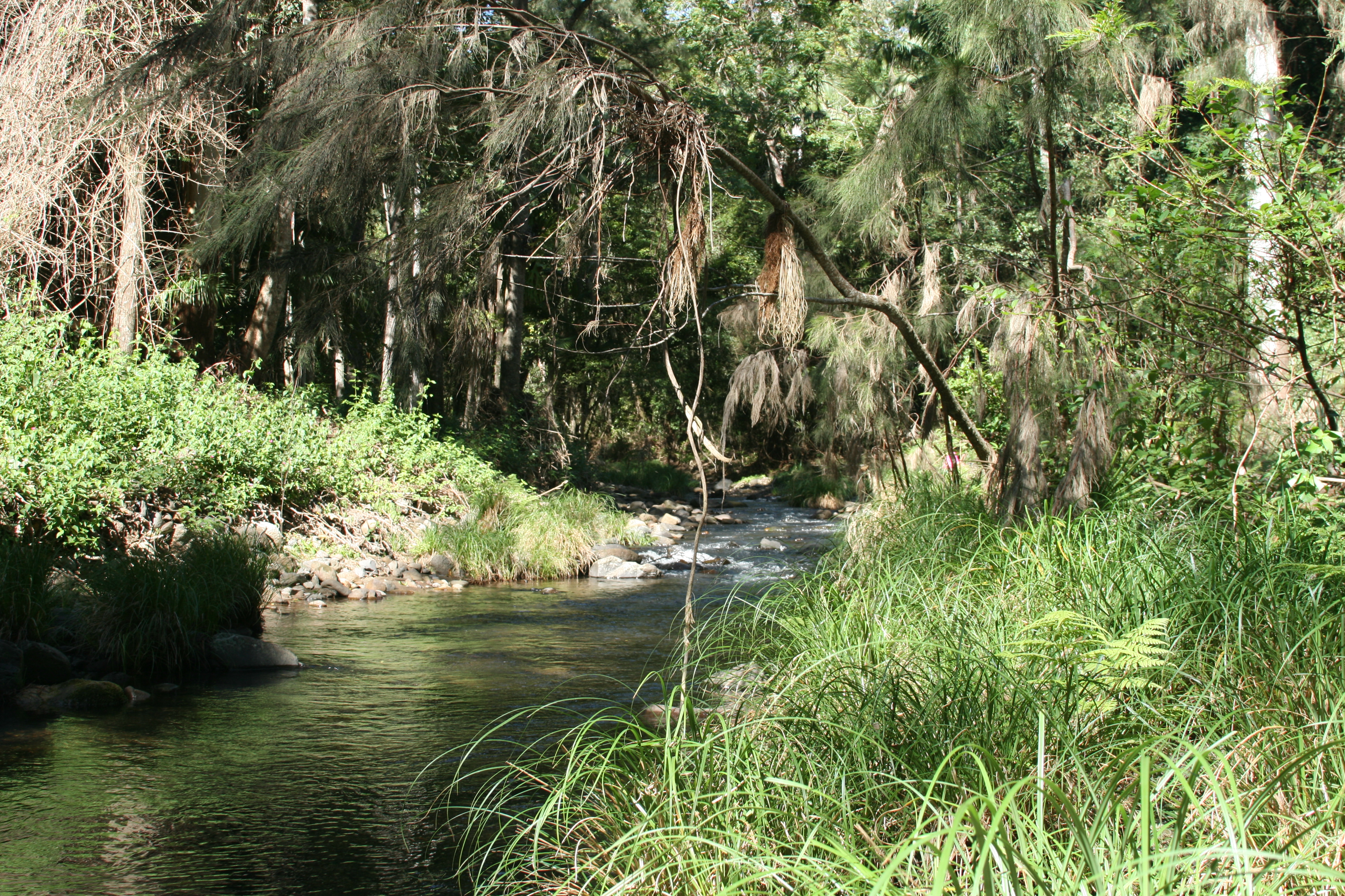
Upper reaches of the Coomera River in Lamington National ParkOrigin McPherson Range Mouth Gold Coast Broadwater Basin countries Australia Length 16 km Basin area 489 km² The Coomera River is a river situated in South East Queensland. The upper reaches of the river flow from the Lamington plateau and the Lamington National Park. Here are the spectacular Coomera Falls in the Coomera Gorge. The river was first discovered by Patrick Logan in May 1827.[1]
The waterway was originally named the River Arrowsmith after a London cartographic firm by Robert Dixon, a government surveyor. However Thomas Mitchell, the Surveyor General, overruled this and other names, replacing them with Aboriginal names.[2]
This river is one of a number which flow north from the Tweed Valley shield volcano. Downstream the river flows between Coomera and Oxenford. The Coomera River then enters the northern tip of the Gold Coast Broadwater at Paradise Point, south of the Pimpama River and well north of the Nerang River.
The river catchment covers an area of 489 km².[3] The river's length is 16 km.[4] Freshwater parts reach mostly to a maximum of 1.5 metres but some parts at waterholes and below waterfalls can exceed 2 m.[4]
The lower estuary area is a fast growing residential areas. Sanctuary Cove, Santa Barbara, Riverlinks, Coomera Waters, Gold Coast Marine Precinct are all becoming home to increasing numbers of people. A former sand mine near the M1 is being investigated for development of a rowing course. Middle parts of the river course through rural areas.
The upper tidal areas are popular for waterskiing and wakebording. There are a series of fresh water lakes just past the tidal limit that are home to some of the most urban platypus in Australia.[citation needed]
The Coomera River has a number of major tributies including Coombabah Creek and Saltwater Creek. Coomera Island separates the north arm of the Coomera River which heads towards Jumpinpin Channel and the south arm of the Coomera River which heads towards the Gold Coast Seaway.
See also
- Albert River
- List of rivers of Australia
- Logan River
References
- ^ Jensen, Jo; Peta Barrett (1996). Patrick Logan. Moorooka, Brisbane: Future Horizon Publishing. pp. 25–26. ISBN 0958765579.
- ^ Roberts, Beryl (1991). Stories of the Southside. Archerfield, Queensland: Aussie Books. p. 57. ISBN 094733601X.
- ^ "Pimpama/ Coomera Rivers Catchment and Estuary". Healthy Waterways. http://www.healthywaterways.org/EcosystemHealthMonitoringProgram/2010ReportCardResults/CatchmentResults/SouthernCatchments/Pimpama/CoomeraRiversCatchmentandEstuary.aspx. Retrieved 26 September 2011.
- ^ a b "Information sheet for the Coomera River". Directory of Important Wetlands in Australia. Department of Sustainability, Environment, Water, Population and Communities. 10 May 2010. http://www.environment.gov.au/cgi-bin/wetlands/report.pl?smode=DOIW&doiw_refcodelist=QLD195. Retrieved 26 September 2011.
External links
Categories:- Rivers of Queensland
Wikimedia Foundation. 2010.