- Gwanaksan
-
Gwanaksan 
Elevation 632 m (2,073 ft) Prominence 632 m (2,073 ft) Location Location  South Korea
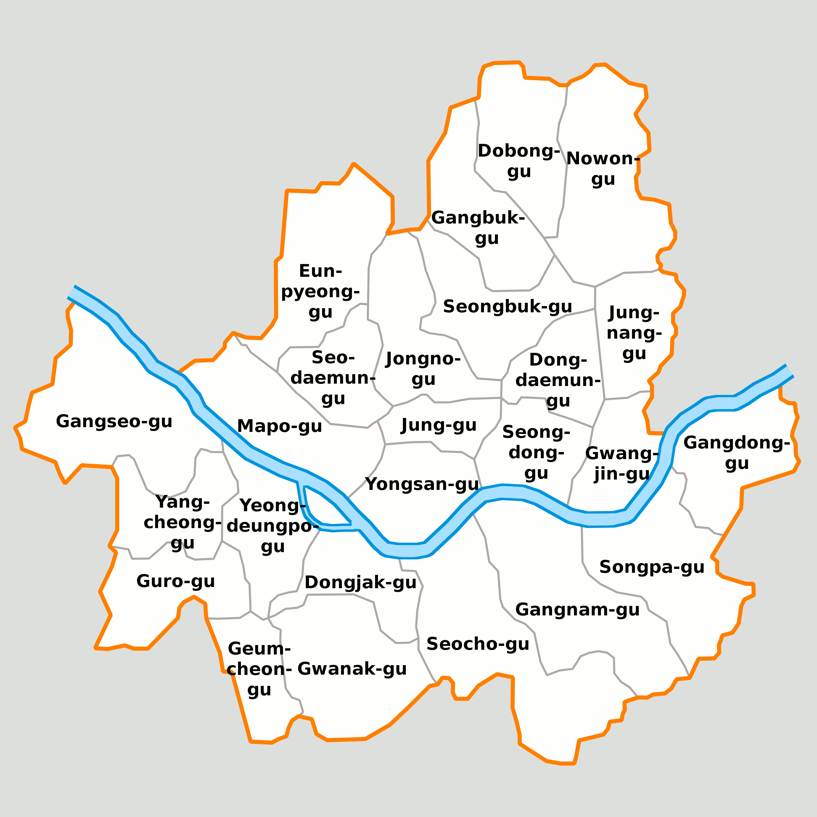
Range Gwangju Mountains Coordinates 37°26′44″N 126°57′49″E / 37.44556°N 126.96361°ECoordinates: 37°26′44″N 126°57′49″E / 37.44556°N 126.96361°E Climbing Easiest route Gwanak Station, Anyang Korean name Hangul 관악산 Hanja 冠岳山 Revised Romanization Gwanaksan McCune–Reischauer Kwanaksan Gwanaksan (632 m[1]) is a small mountain in southern Seoul, South Korea. Portions lie in the Gwanak-gu and Geumcheon-gu districts of Seoul; other portions lie in the neighboring cities of Anyang and Gwacheon.
The name gwanak means "hat-shaped peak," and refers to its gat-like profile. Thus Gwanaksan literally means "mountain of the hat-shaped peak." Currently it is referred to as "Gwanak," since san already contains the meaning of "mountain."[2] Together with Songaksan in Kaesong, Gamaksan in Paju, Uaksan in Pocheon, and Hwaaksan in Gapyeong, Gwanaksan was long considered one of the five representative peaks of Gyeonggi-do (gyeonggi o-ak).
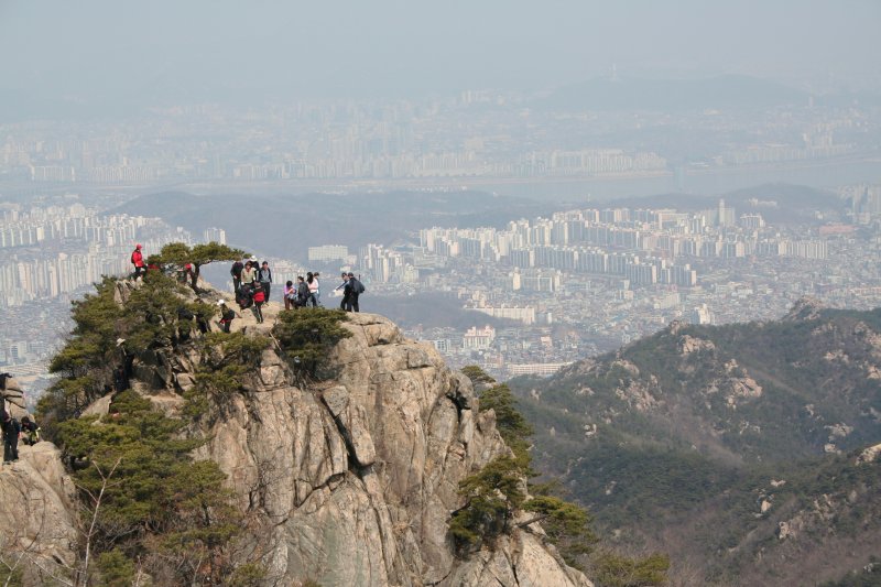
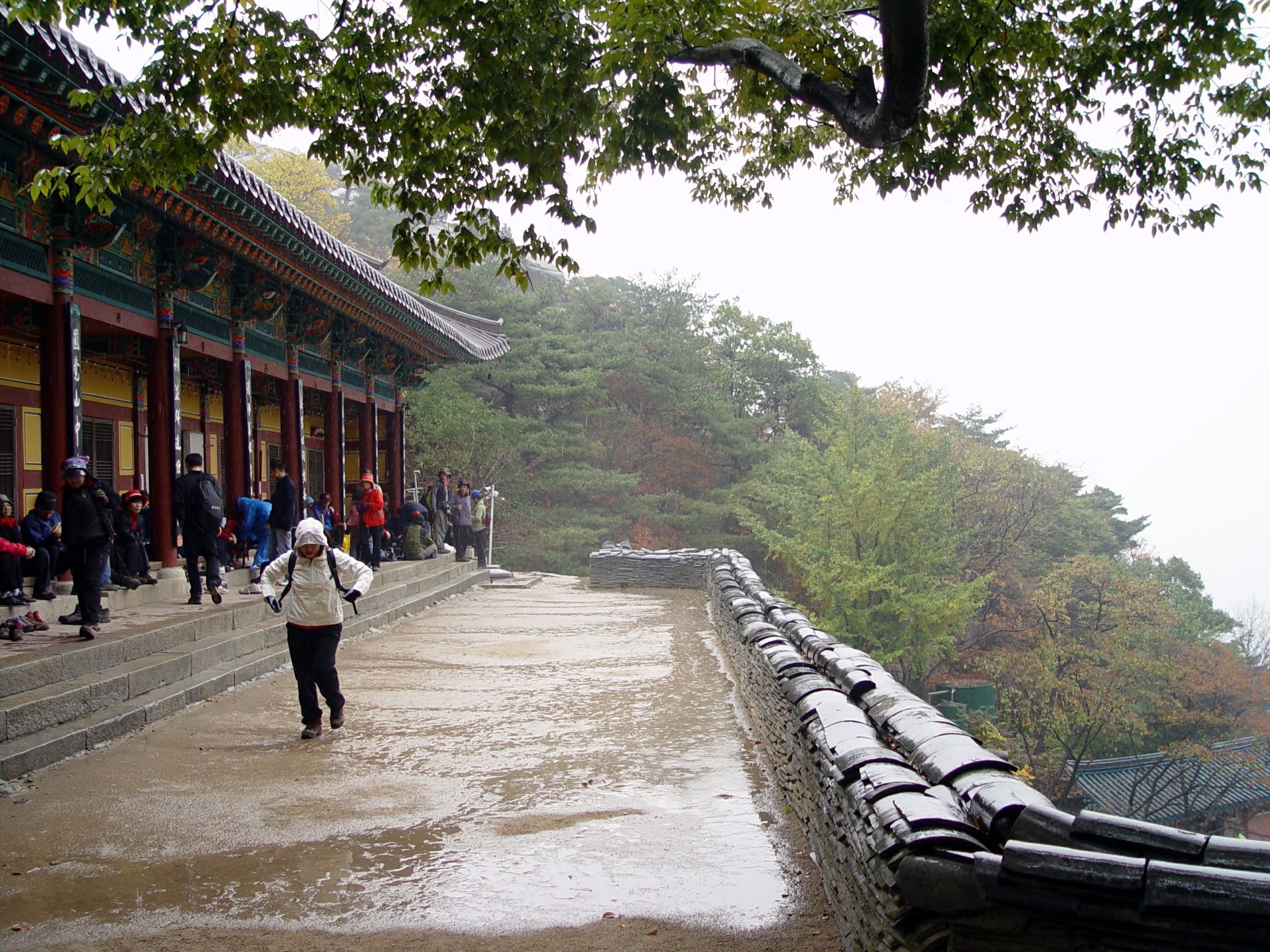
The main campus of Seoul National University is located just northwest of the mountain, and the Gwacheon national government complex lies to the east. Also nearby is the Anyang Resort Area, a popular local tourist attraction. On the mountain itself lie numerous Buddhist temples, including Wongaksa. Most of the mountain slope is protected land. The mountain is very popular with older climbers, since it can easily be reached by Seoul's public transportation. Annual hiking traffic is close to 50 million people. [3] The Seoul side was designated a city park in 1968.
Contents
Trails
Seoul National University Entrance (11.3km, 4 hours) Siheung-dong (11km, 3 hours, 30 minutes) Anyang amusement park (12km, 4 hours, 30 minutes)
Gallery
-
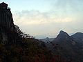
Yeonjudae - the summit
-
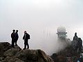
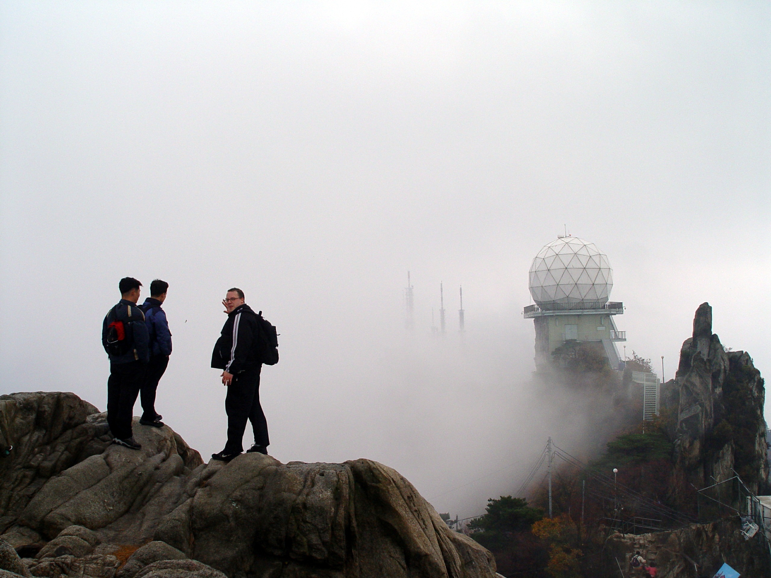
Radar equipment on the summit
-

Yeonju Hermitage on the Gwacheon side
References
- ^ Some sources give 629 m
- ^ (Korean) "명칭의 유래". Gwanak-gu website. http://www.gwanak.go.kr/kor/cul_tour/mt/history.jsp. Retrieved 2006-05-28.[dead link]
- ^ (Korean) "Com Trends". http://news.khan.co.kr/section/khan_art_view.html?mode=view&artid=200711290952231&code=900306. Retrieved 2010-08-21.
See also
Districts of Seoul 
North of Han River South of Han River Categories:- Geography of Seoul
- Mountains of South Korea
-

Wikimedia Foundation. 2010.