Cutler Reservoir

Cutler Reservoir
Cutler Reservoir
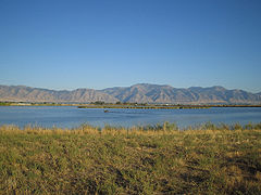
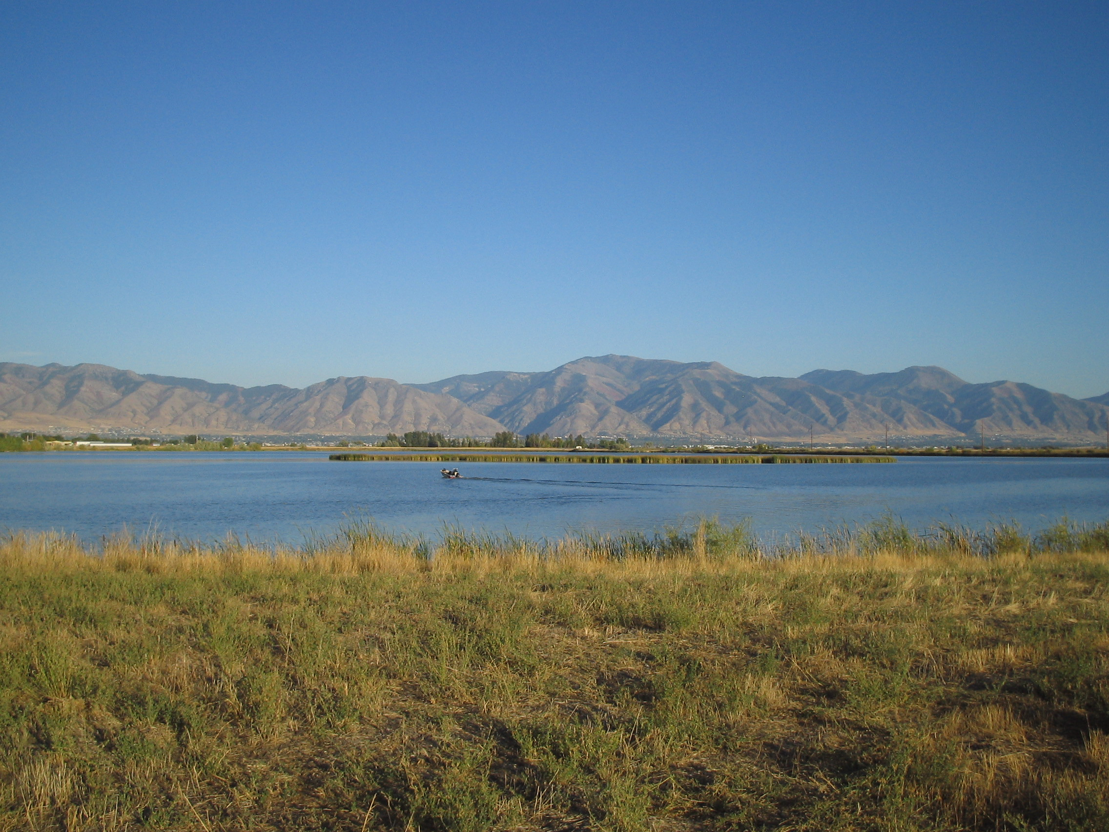
Location Cache Valley, Cache / Box Elder counties, Utah, USA
Coordinates 41°50′12″N 112°02′51″W / 41.83667°N 112.0475°W / 41.83667; -112.0475Coordinates: 41°50′12″N 112°02′51″W / 41.83667°N 112.0475°W / 41.83667; -112.0475
Lake type reservoir
Primary inflows Bear River
Primary outflows Bear River
Basin countries United States

Cutler Reservoir is a reservoir located in Cache Valley in the U.S. state of Utah. It is an impoundment on the Bear River built for irrigation, flood control, and water supply. The Cutler Dam is located in easternmost Box Elder County, although the reservoir is almost entirely in Cache County, to its east.

External links

Cutler contains several species of fish including walleye, crappie, and bass.


Wikimedia Foundation. 2010.

Игры ⚽ Нужна курсовая?

Look at other dictionaries:

  • Cutler Park — Coordinates: 42°16′59″N 71°11′51″W / 42.28306°N 71.1975°W / 42.28306; 71.1975 …   Wikipedia

  • List of dams and reservoirs in the United States — This list is incomplete; you can help by expanding it. The following is a partial list of dams and reservoirs in the United States. There are an estimated 75,000 dams in the United States, impounding 600,000 mi (970,000 km) of river or about 17%… …   Wikipedia

  • Bear River (Utah) — Geobox | River name = Bear River category = River image size = 300 image caption = Lake at the head of Bear River, Uinta Mountains, Utah (photo taken 1868 1870). etymology = country = United States country state = Nevada state1 = Idaho state2 =… …   Wikipedia

  • Little Bear River — The Little Bear River is a tributary of the Bear River in northern Utah, USA.It rises in the mountains east of Brigham City, where three forks (West, South, and East) join at Avon, then flows north to Paradise. At Paradise it spills out into the… …   Wikipedia

  • Bear River (Utah) — Bear River Einzugsgebiet des Bear River Daten Gewässerkennzahl …   Deutsch Wikipedia

  • Utah State Route 23 — Infobox road state=UT type=SR route=23 section=108 maint=UDOT length mi=29.890 length round=3 length ref= [http://www.dot.utah.gov/main/uconowner.gf?n=7194316473885851 UDOT Highway Reference, SR 23] ] established=1953 direction a=South terminus a …   Wikipedia

  • Cache County — Courthouse Verwaltung US Bundesstaat: Utah Verwaltu …   Deutsch Wikipedia

  • List of Massachusetts state parks — This list of Massachusetts State Parks contains the 143 state parks in the Commonwealth of Massachusetts, as of 2009. The Bureau of State Parks and Recreation division of Department of Conservation and Recreation (Massachusetts) (DCR) is… …   Wikipedia

  • National Register of Historic Places listings in Waukesha County, Wisconsin — Buildings, sites, structures, districts, and objects in Waukesha County listed on the National Register of Historic Places See also: National Register of Historic Places listings in Wisconsin Map of all coordinates from Google …   Wikipedia

  • Chestnut Hill Reservation — Massachusetts State Park …   Wikipedia

Share the article and excerpts

Direct link
Do a right-click on the link above
and select “Copy Link”