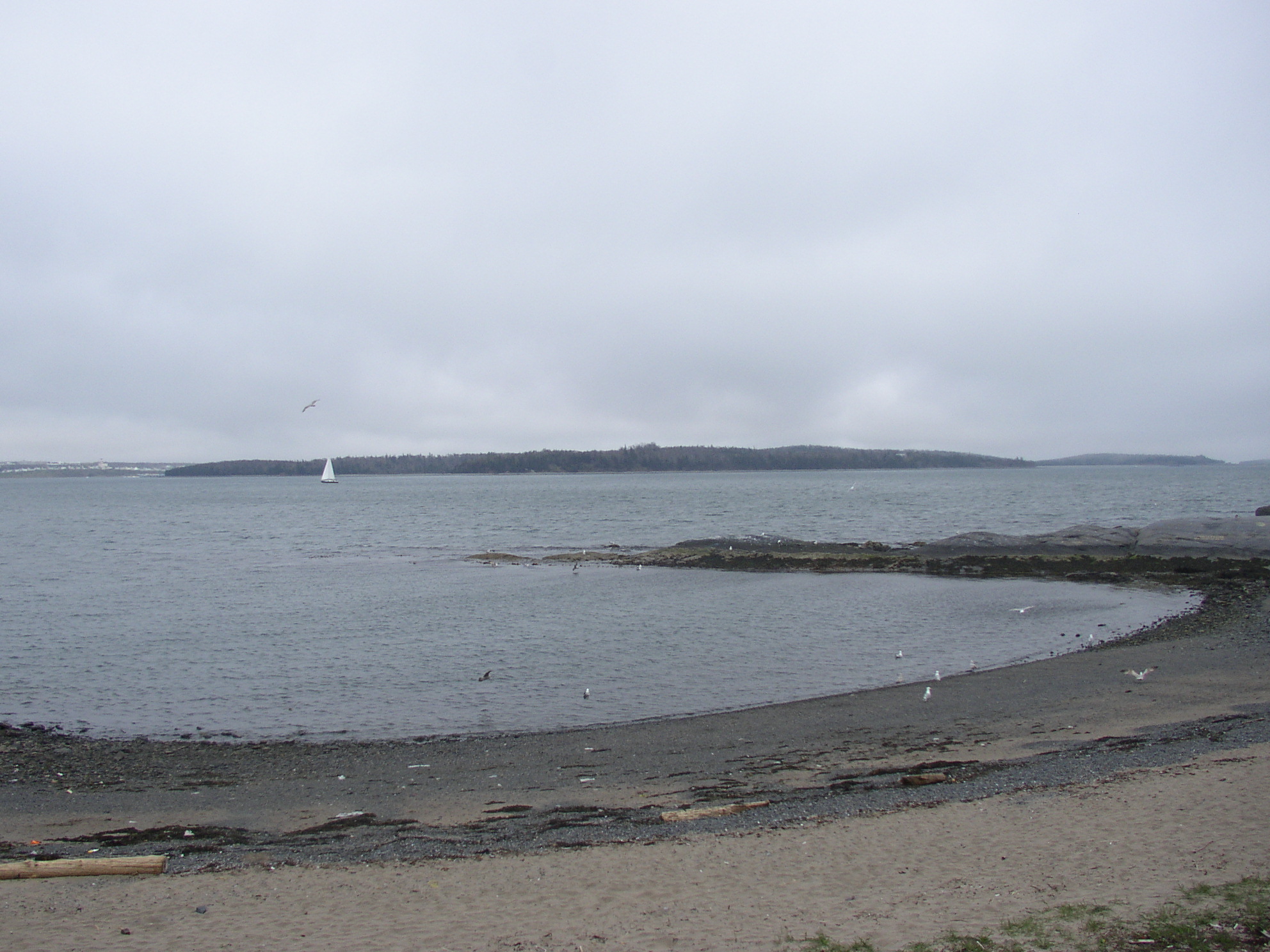
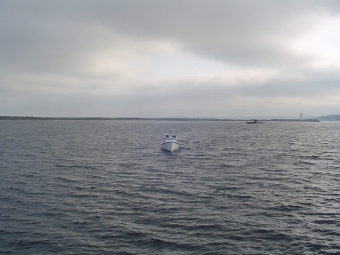
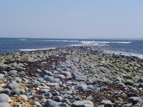
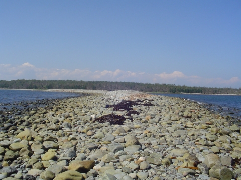
- McNabs Island
-
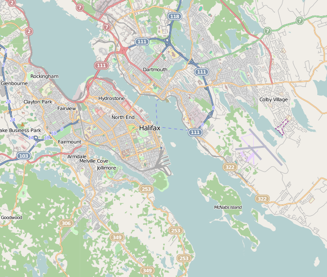
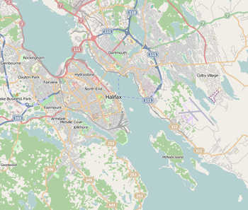 Map of Halifax and McNabs island
McNabs Island is the largest island in Halifax Harbour located in Halifax Regional Municipality, Nova Scotia, Canada. It played a major role in defending Halifax Harbour and is now a provincial park. The island was first settled in 1780s by Peter McNab, and McNab family members lived on the island until 1934.[2]
Peter McNab`s brother Captain John McNab, Nova Scotia Fencibles, lived with his daughter Catherine Susan Ann McNabb on McNab's Island. She married Joseph Howe on February 2, 1828.[1]
Contents
History
The island saw seasonal Mi'kmaq and Acadian use and was surveyed by the French Navy as a possible site for a fortified seaport prior to the selection of Louisbourg. After the founding of Halifax in 1749, it was first known as Cornwallis Island. Halifax merchant Joshua Maugher used the long beach which still bears his name as a base for a fishing operation in the 1750s and '60s.[2] The island was purchased by Peter McNab in the 1780s beginning a long settlement by generations of the McNab family on the island.
McNabs Island contains many forts belonging to the "Halifax Defence Complex" including Fort Ives, Fort Hugonins, Sherbrooke Tower, and Fort McNab. Important historic features on McNabs Island which are still visible include the foundations of several houses built by early settlers, an aboriginal shell midden, a cemetery containing some of the island's earliest residents, remains of a turn of the century picnic ground and soda pop factory, and remnants of a once extensive Victorian garden. Numerous military fortifications can be found, including Fort McNab National Historic Site, Fort Ives, Fort Hugonin and Strawberry Battery. Other features include the original McNab house, Martello Tower, and the main burial site of cholera victims from the S.S. England.
Maugher Beach, where a lighthouse stands, is also known as "Hangman's Beach" because of its use by the Royal Navy during the Napoleonic wars to hang the bodies of executed mutineers as a warning to crews of ships entering the harbour that this was a port where they had best behave themselves. The light at Maughers Beach was used in 1851 by Abraham Gesner to test out the new fuel he had invented, kerosene, to replace whale oil. Although lighthouse officials were skeptical, the careful recording of the efficiency of kerosene by Maughers Beach keeper David George helped establish the fuel for standard use.
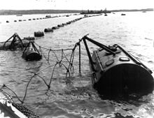
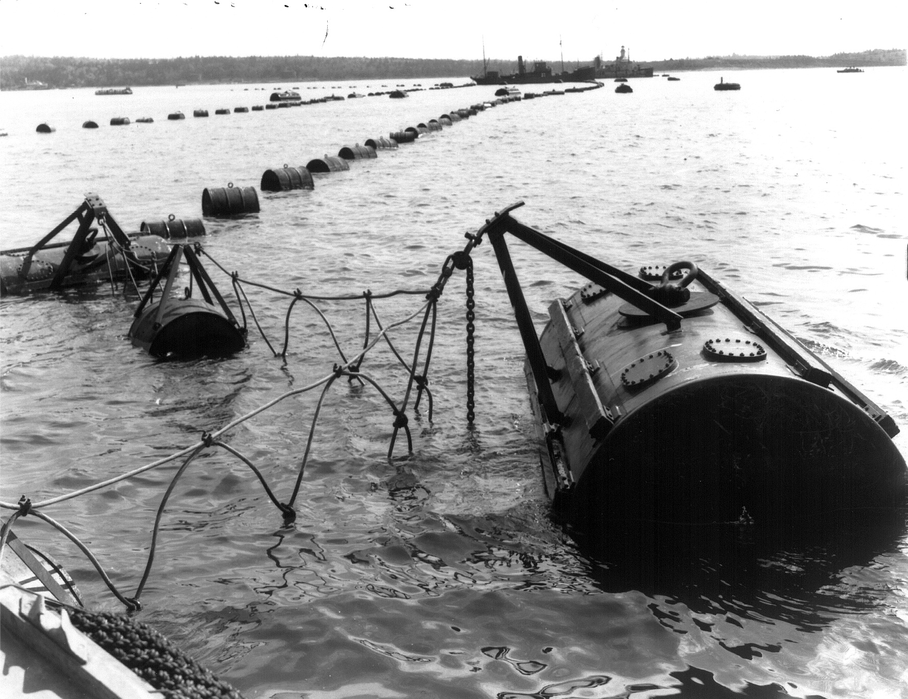
During World War II new gun batteries, search lights and a steel anti-submarine net were installed between the island and York Redoubt to prevent German U boats from entering the harbour. In 1944 and 1945 the Canadian Army used McNab's Island as an isolated prison/detention centre for soldiers convicted of crimes.
Today
Today, of McNabs Island's total area of approximately 975 acres (395 ha), the Province owns 62 percent, the Federal Government 35 percent, and 3 percent is privately owned. Most Federal lands on McNabs are administered as park reserve by the Department of Heritage, under the responsibility of Parks Canada who manage the "Fort McNab National Historic Site of Canada". The Province of Nova Scotia manages a Provincial Park. A group called "Friends of McNabs Island Society" a volunteer, non-profit, registered charity, based in Halifax, Nova Scotia, Canada, that is dedicated to the preservation of McNabs, Lawlor and Devils Islands, promote McNabs Island as a Nature Park and Outdoor Classroom. The Society hosts events on McNabs Island such as picnics, nature and historical tours, and annual beach clean-ups. The society produces maps and brochures, the popular guidebook Discover McNabs Island, island posters and quarterly newsletters. The society maintains the trails with the Nova Scotia Department of Natural Resources and Parks Canada. There are a few permanent residents living on the island and it is considered a community of the Halifax Regional Municipality.
Lightkeepers for Maugher Beach lighthouse
- 1830-1836 Bolser, J.
- 1840-1846 McGlinn, D.
- 1846-1873 George, David
- 1873-1896 Horn, E.
- 1896-1903 Doody, J.
- 1903-1915 Iceton, W.
- 1915-1936 Conrod, T.
- 1936-1940/1945-1947 MacDonald, J.A.
- 1940-1942 Hull, R.W.
- 1942-1945/1951-1958 Bell, J.J.
- 1948-1951 Hartley, G.R.
- 1958-1959 Lalonde, J.D.
- 1959 Stevens, A.J.
- 1959-1970 Rampton, E.F.
- 1970 Mitchell, L.G.
- 1970 Turner, M.B.
- 1970-1983 Lowe, H.G.
- Automated since 1983
Lightkeepers for McNabs Island lighthouse
- 1903-1905 Doody, J.
- 1905-1932 Lynch, M.
- 1932-1957 Cleveland, Colin W.
- 1957 Lumsden, B.J.
- 1957-1959 Eddy, W.
- Automated 1959-1973
- 1973 - replaced by skeleton tower
- 1976 - structure torn down
References
- ^ Morgan, Henry James Types of Canadian women and of women who are or have been connected with Canada : (Toronto, 1903) [1]
- ^ Beamish Murdoch. A History of Nova Scotia. Vol. 2. pp. 206-207
- Discover McNabs Island Friends of McNabs Island, (Second Edition) 2008
- The Sea Road to Halifax, Hugh Pullen, (Nova Scotia Museum, p. 45-48.
External links and sources
Categories:- Geography of the Halifax Regional Municipality
- Islands of Nova Scotia
- Lighthouses in Canada
- General Service Areas in Nova Scotia


Wikimedia Foundation. 2010.