- Oval, London
-
Coordinates: 51°28′53″N 0°07′11″W / 51.4813°N 0.1197°W
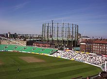
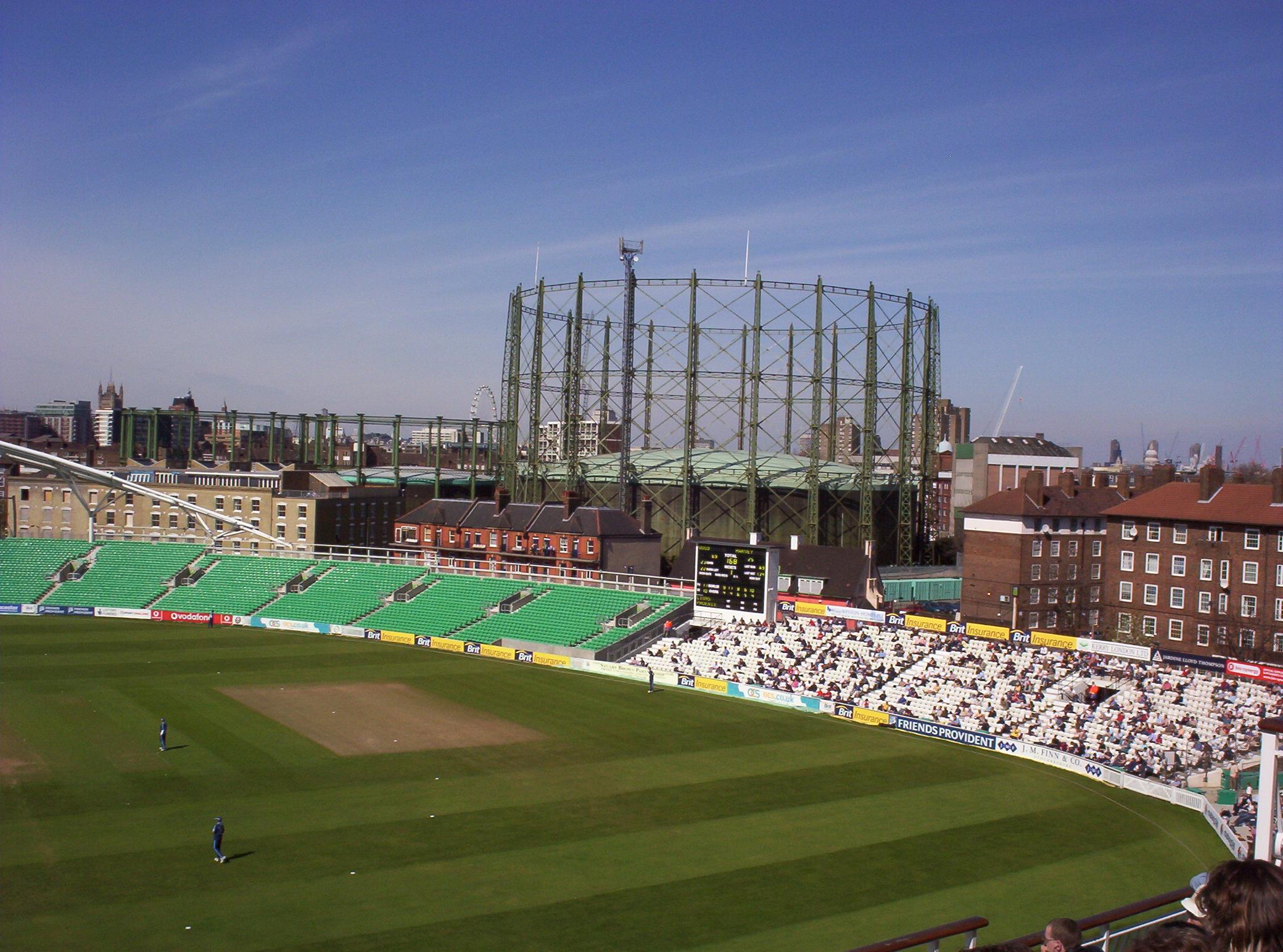
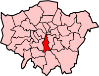
Oval is a geographically small area of Kennington, South London, in the London Borough of Lambeth. It is situated 2.1 miles (3.38 km) to the south-east of Charing Cross. Oval straddles the border of south-west London and south-east London, and is where the postcode SE11 converges with the postcode SW8. Oval is best known for The Oval cricket ground, the home-ground of Surrey County Cricket Club.
Oval is within the borough constituency of Vauxhall. The Member of Parliament for the area is Kate Hoey of the Labour Party.
Contents
History
The land here was, from the seventeenth century, used for a market garden. The name "Oval" emerged from a street layout which was originated in 1790 but never completely built. The Montpelier Cricket Club leased ten acres of land from the Duchy of Cornwall in 1844, and Surrey County Cricket Club was formed soon thereafter at a meeting at the Horns Tavern (since demolished) on Kennington Park Road.
Demography
Oval ward is a constituent ward of Lambeth LBC. In 2001, the National Census recorded a population of 11,983 for Oval.
Transport
The nearest tube stations are Oval and Vauxhall station.
Nearest places
Neighbouring areas 
Kennington Vauxhall 
Brixton  Oval
Oval 

Stockwell See also
London Borough of Lambeth Districts Brixton · Clapham · Crystal Palace · Gipsy Hill · Herne Hill · Kennington · Lambeth · Oval · Stockwell · Streatham · Streatham Hill · Tulse Hill · Vauxhall · Waterloo · West Dulwich · West Norwood
Attractions Imperial War Museum · Lambeth Archives · Lambeth Palace · London Eye · Lower Marsh Market · Oval Cricket Ground · Southbank Centre (Royal National Theatre • BFI Southbank • Royal Festival Hall • Queen Elizabeth Hall • Purcell Room • Hayward)Bridges Parks and open spaces Constituencies Other topics People · Public art · SchoolsCategories:- Districts of London
- Districts of Lambeth
- London geography stubs

Wikimedia Foundation. 2010.