- Emigration Canyon, Utah
Infobox_nrhp | name =Emigration Canyon
nrhp_type =nhl
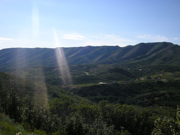
caption = Emigration Canyon 2006
location=Salt Lake City, Utah
locmapin = Utah
area =
built =1847
architect=
architecture=
designated =January 20 ,1961 cite web|url=http://tps.cr.nps.gov/nhl/detail.cfm?ResourceId=553&ResourceType=Site
title=Emigration Canyon|accessdate=2008-04-01|work=National Historic Landmark summary listing|publisher=National Park Service]added =
October 15 ,1966
governing_body = State
refnum=66000737cite web|url=http://www.nr.nps.gov/|title=National Register Information System|date=2007-01-23|work=National Register of Historic Places|publisher=National Park Service]Emigration Canyon is a township and canyon in Salt Lake County,
Utah ,United States , located east of Salt Lake City in theWasatch Range . Beginning at the southern end of theUniversity of Utah , the canyon itself heads east and northeast between Salt Lake and Morgan Counties.Emigration Canyon was declared a
National Historic Landmark in 1961. It is significant inUtah history, as this is where theMormon pioneers entered theSalt Lake Valley in 1847. AsBrigham Young looked over the canyon, he declared, "This is the right place. Drive on." These words have become famous in Utah history. The event is commemorated withThis Is The Place Heritage Park at the mouth of the canyon.Hogle Zoo , the main zoo in the Salt Lake City area, lies across from This is the Place.The canyon has recently been at the forefront of a dispute with developers, who want to construct houses in the canyon, and the few residents who live there and others who visit the canyon for its scenery and nature regularly, who want to protect Emigration Canyon from the development that nearby
Parley's Canyon has experienced.Throughout Emigration Canyon, there are several historic markers designating camps, trail markers and milestone where the Mormon Pioneers passed while on their way to the Salt Lake Valley. One example of these milestones is called Lost Creek Camp.
ee also
*
Mormon Trail References
External links
* [http://www.emigrationcanyon.org/ Emigration Canyon Online]
* [http://www.ldi-ut.com/projects/emigrationcanyon.htm Emigration Canyon Trails Master Plan]
Wikimedia Foundation. 2010.