- Black River (Ohio)
Infobox River | river_name = Black River

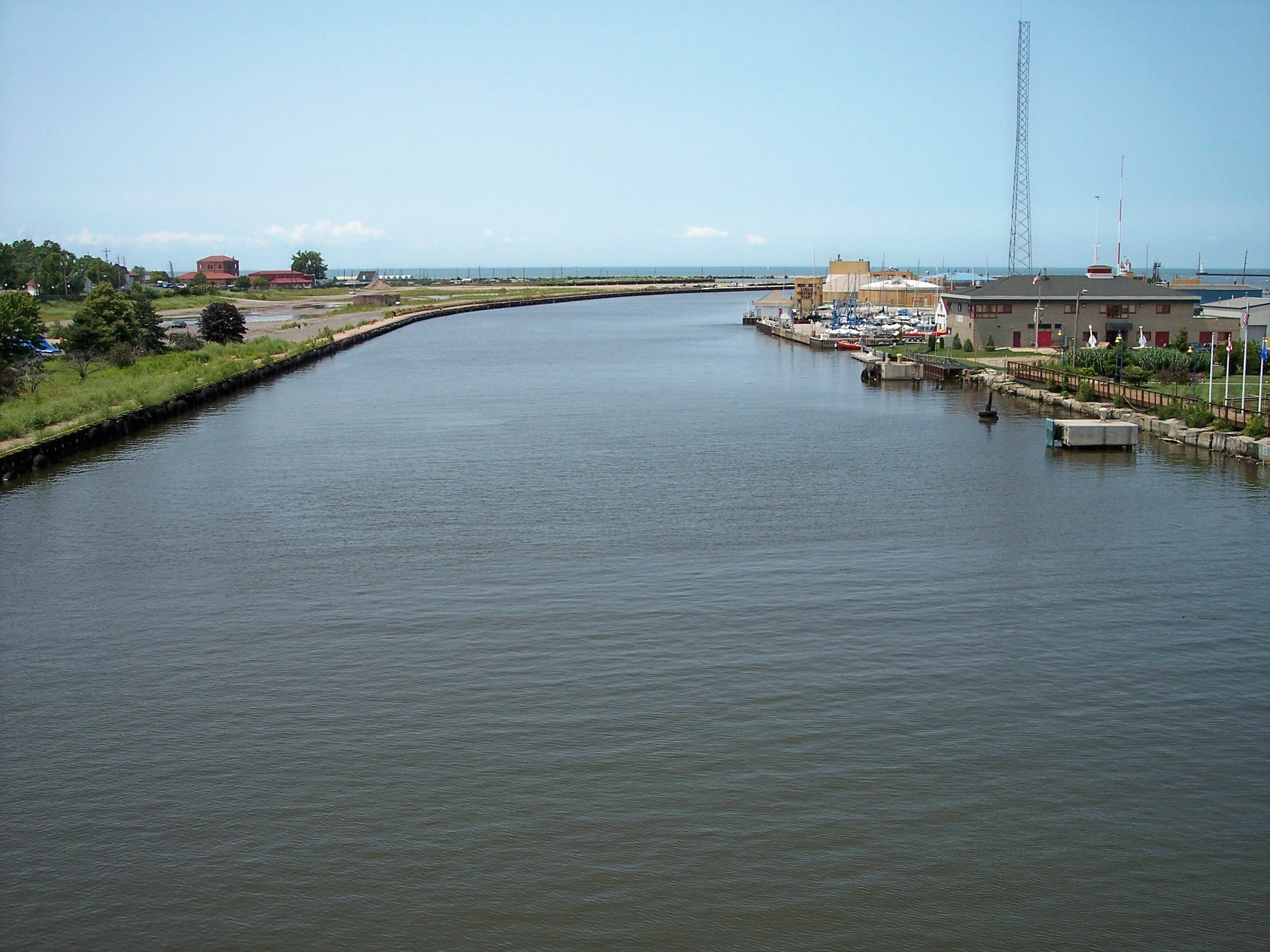
caption = The Black River at its mouth atLake Erie in Lorain
origin =Elyria, Ohio , at confluence of East and West Branches, or northernAshland County, Ohio for West Branch
mouth =Lake Erie inLorain, Ohio
basin_countries =United States of America
length = convert|12|mi|km, or about convert|42|mi|km including West Branch
elevation =
discharge =
watershed = 470 mi² (1217 km²)The Black River [
United States Geological Survey Hydrological Unit Code: 04-11-00-01-Fact|date=June 2008] is atributary ofLake Erie , about 12 mi (19 km) long, in northernOhio in theUnited States . [http://reference.allrefer.com/gazetteer/B/B07093-black-river.html Columbia Gazetteer of North America entry] ] Via Lake Erie, theNiagara River andLake Ontario , it is part of the watershed of theSt. Lawrence River , which flows to theAtlantic Ocean . The Black drains an area of 470 mi² (1217 km²). [http://www.dnr.state.oh.us/water/watersheds/Basins72PDI_40x40_OnScreen.gifMap of Ohio watersheds] ]According to the
Geographic Names Information System , the Black River has also been known historically as "Canesadooharie River" and as "Riviere en Grys." [Gnis|1066586|Black River]Course
The Black River is formed in the city of Elyria by the confluence of its east and west branches:
*The East Branch Black River [ Gnis|1039935|East Branch Black River] is formed in northwestern Medina County by the confluence of two short tributaries, the East Fork Black River [ Gnis|1039952|East Fork Black River] and the West Fork East Branch Black River. [Gnis|1047721|West Fork East Branch Black River] The East Fork flows southwardly past Lodi before turning northwestwardly, and the West Fork rises in northeastern Ashland County and flows generally eastwardly into Medina County; the two join about 1 mi (2 km) northwest of Lodi, and the East Branch then flows generally northwardly into Lorain County, past Grafton.DeLorme (1991). "Ohio Atlas & Gazetteer". Yarmouth, Maine: DeLorme. ISBN 0-89933-233-1] It drains an area of 222 mi² (575 km²).
*The West Branch Black River, [Gnis|1047707|West Branch Black River] about 30 mi (48 km) long, rises in northern Ashland County and flows generally northeastwardly into Lorain County, past Rochester. It drains an area of 174 mi² (451 km²).From the confluence of the branches in Elyria, the Black River flows generally northwardly past Sheffield into the city of Lorain, where it enters Lake Erie. The mouth of the river forms part of the
harbor of Lorain.ee also
*
List of Ohio rivers References
Wikimedia Foundation. 2010.
