- Mooseheart, Illinois
-
Mooseheart Unincorporated Country United States State Illinois County Kane Coordinates 41°49′06″N 88°19′53″W / 41.81833°N 88.33139°W Timezone CST (UTC-6) - summer (DST) CDT (UTC-5) ZIP code 60539 Area code 630/331 
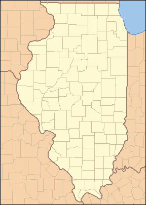
 Location of Mooseheart within Illinois
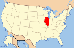 Location of Illinois in the United States
Mooseheart is an unincorporated village and a home for children run by the Loyal Order of Moose in Kane County, Illinois, USA. It is located near Aurora, Illinois. Also known as City of Children, a short documentary film City of Children (1949)[1] written by John Nesbitt was in the Passing Parade.
Contents
History
In late 1912 the organization purchased the Brookline Farm, over 1,000 acres (4.0 km2) along the then-unpaved Lincoln Highway between Batavia and North Aurora on the west side of the Fox River, located about 40 miles (64 km) west of Chicago. Ohio Congressman John Lentz, a member of the Order's Supreme Council, conceived the name "Mooseheart" for the new community.
On Sunday, July 27, 1913, several thousand Moose men and women (for the Women of the Moose received formal recognition that year as the organization's official female component) gathered under a rented circus tent toward the south end of the new property and placed the cornerstone for Mooseheart. The first 11 youngsters in residence were present, having been admitted earlier that month; they and a handful of workers were housed in the original farmhouse and a few rough-hewn frame buildings that had been erected that spring.
Mooseheart's construction proceeded rapidly over the next decade, but its growth barely kept pace with the admissions. The student population was nearly 1,000 by 1920. Mooseheart's student population would reach a peak of 1,300 during the Great Depression. Housing was often "barracks" style. (Mooseheart officials now consider the campus' ultimate maximum capacity as no more than 500.) Still, by the 1920s, Davis and his Moose colleagues thought the fraternity should do more—this time for aged members who were having trouble making ends meet in retirement. (A limited number of elderly members had been invited to live at Mooseheart since 1915.)
In 1922, the Moose began to build Moosehaven, a facility for retired Moose, as an adjunct to Mooseheart.
See also
References
- Beito, David T. From Mutual Aid to the Welfare State: Fraternal Societies and Social Services, 1890-1967, Chapel Hill: University of North Carolina Press, 2000.
External links
Municipalities and communities of Kane County, Illinois County seat: Geneva Cities Aurora‡ | Batavia‡ | Elgin‡ | Geneva | St. Charles‡

Villages Algonquin‡ | Barrington Hills‡ | Bartlett‡ | Big Rock | Burlington | Campton Hills | Carpentersville | East Dundee‡ | Elburn | Gilberts | Hampshire | Hoffman Estates‡ | Huntley‡ | Kaneville | Lily Lake | Maple Park‡ | Montgomery‡ | North Aurora | Pingree Grove | Sleepy Hollow | South Elgin | Sugar Grove | Virgil | Wayne‡ | West Dundee
Townships Aurora | Batavia | Big Rock | Blackberry | Burlington | Campton | Dundee | Elgin | Geneva | Hampshire | Kaneville | Plato | Rutland | St. Charles | Sugar Grove | Virgil
Unincorporated
communitiesAllens Corners | Almora | Bald Mound | Bowes | Coleman | Five Island Park | Fox River Estates | La Fox | Marywood | Meredith | Mooseheart | North Plato | Nottingham Woods | Novak Park | Plato Center | Prestbury | Rainbow Hills | Richardson | Scraper-Moecherville | South Park | Starks | Troxel | Udina | Valley View | Wasco | Wildwood Valley | Youngsdale
Ghost town Footnotes ‡This populated place also has portions in an adjacent county or counties
Categories:- Organizations based in Illinois
- Populated places in Kane County, Illinois

Wikimedia Foundation. 2010.