- Coconino Sandstone
-
Coconino Sandstone
Stratigraphic range: PermianType Sedimentary Sub-units Harding Point Sandstone Member, Cave Spring Sandstone[1] Underlies Kaibab Limestone, Toroweap Formation Overlies Supai Group Lithology Primary Sandstone Location Named for Coconino Plateau Named by N. H. Darton, 1910[2] Region Colorado Plateau Country United States 
Coconino Sandstone is a geologic formation named after its exposure in Coconino County, Arizona. This formation spreads across the Colorado Plateau province of the United States, including northern Arizona, northwest Colorado, Nevada, and Utah.
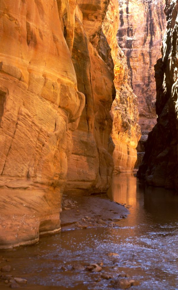
This rock formation is particularly prominent in southeastern Utah, where it can be seen in a number of national parks and monuments, including Zion National Park, Capitol Reef National Park, the San Rafael Swell, and Canyonlands National Park. It is also present in the Grand Canyon, where it is visible as a prominent white cliff forming layer. The thickness of the formation varies due to regional structural features, in the Grand Canyon area it is only 65 ft thick in the west, thickens to over 600 ft in the middle and then thins to 57 ft in the east. Either the Kaibab Limestone or Toroweap Formation overlies the Coconino Sandstone. The Coconino Sandstone is typically buff to white in color. It consists primarily of fine well sorted quartz grains, with minor amounts of potassium feldspar grains deposited by eolian processes (wind-deposited) approximately 260 million years ago. Several structural features such as ripple marks, sand dune deposits, rain patches, slump marks, and fossil tracks are not only well preserved within the formation but, they also contribute evidence of its eolian origin.[3][4][5]
Lechatelierite was formed during the impact of a meteorite into a layer of Coconino Sandstone at Meteor Crater in Arizona.[6]
References
- ^ Blakey, R.C., 1990, Stratigraphy and geologic history of Pennsylvanian and Permian rocks, Mogollon Rim region, central Arizona and vicinity: Geological Society of America Bulletin, v. 102, no. 9, p. 1189-1217. abstract
- ^ Darton, N.H., 1910, A reconnaissance of parts of northwestern New Mexico and northern Arizona: U.S. Geological Survey Bulletin, 435, 88 p., (incl. geologic map, scale 1:1,000,000)
- ^ Mckee, E.D.,1945. "Small-scale structures in the coconino sandstone of northern arizona."jstor.org
- ^ U.S. Geological Survey Professional Paper 1052, Reston, VA: USGS
- ^ Middleton, L.T., D.K. Elliott, and M. Morales, 2003, "Coconino Sandstone," in S.S. Beus and M. Morales, eds., Grand Canyon Geology. Oxford University Press, New York, New York. ISBN 0195122992
- ^ Meteor Crater: Proof of Impact - amnh.org
See Also
External Links
Categories:- Sandstone
- Geologic formations of the United States
- Geology of Arizona
- Geology of Colorado
- Geology of Nevada
- Geology of Utah
- Geologic formation stubs
Wikimedia Foundation. 2010.