- Lake Cuitzeo
-
Lake Cuitzeo
Lago de Cuitzeo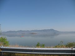
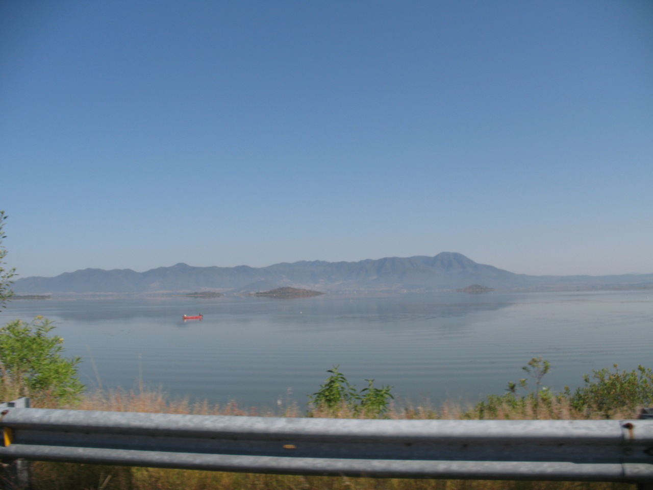
Location Michoacán / Guanajuato, Mexico Coordinates 19°56′0″N 101°5′0″W / 19.933333°N 101.083333°WCoordinates: 19°56′0″N 101°5′0″W / 19.933333°N 101.083333°W Basin countries Mexico Max. length 20 km Max. width 20 km Surface area 300-400 km² Average depth 27 meters Islands no islands Settlements Cuitzeo de la Laguna Copandaro de Galeana Chucandiro Huandacareo Lake Cuitzeo is a lake in central part of Mexico, in the Michoacán State. It is located at around 19°56′0″N 101°5′0″W / 19.933333°N 101.083333°W. It has an area of 300-400 km². The lake is astatic, and the volume and level of water in the lake fluctuates frequently. It is the second largest freshwater lake in Mexico.[1]
Lake Cuitzeo lies in an endorheic basin, which does not drain to the sea. The basin has an area of 4026 square kilometers, lying mostly in Michoacán, with the northern part of the basin in Guanajuato state. Michoacán's capital, Morelia, lies in the Cuitzeo basin south of the lake.[2] The basin of the Lerma River lies to the east and north, and the basin of the Balsas River lies to the south, separated by the mountains of the Trans-Mexican Volcanic Belt. The endorheic basin of Lake Pátzcuaro lies to the west.
The lake is irregular in shape, with northern, western, and eastern sections connected by a central marshy area, which receives the main freshwater inflows. It has no natural outflow, but an outflow canal was constructed to the north, allowing the lake to drain into the Lerma River basin when the water level is high. The western section was divided in two by the construction of north-south highways. The western portion is saltier, and sustains unusual fisheries of clam shrimps (Eocyzicus digueti and Leptestheria compleximanus), as well as hemipterans, and ephydrids.[3]
The three main inflows to the lake are the Viejo de Morelia, Grande de Morelia, and Querendaro rivers. These rivers originate in the mountains to the south, and sustain an irrigated agricultural area south of the lake, entering the central portion of the lake as irrigation canals. The main crops are maize, cotton, and coffee.[4]
About 40% of the basin is agricultural fields, 15% pasture, 20% pine-oak forests, and 15% tropical dry forest.[5] The pine-oak forests lie at higher elevations, and are part of the Trans-Mexican Volcanic Belt pine-oak forests ecoregion. The Bajío dry forests ecoregion covers the lower-lying parts of the basin, extending north into the basin of the Lerma River.
References
- ^ Galindo de Obario, Marcela. "Water Quality and its Spatial Variability in Lake Cuitzeo, Mexico" 2005. International Institute for Geo-Information Science and Earth Observation, Enschede, Netherlands. [1]
- ^ Galindo de Obario, Marcela. "Water Quality and its Spatial Variability in Lake Cuitzeo, Mexico" 2005. International Institute for Geo-Information Science and Earth Observation, Enschede, Netherlands. [2]
- ^ Alcocer, Javier (2003). "The future of salt lakes: the case of Mexico". Abstract, "Environmental Future of Aquatic Ecosystems," 5th International Conference on Environmental Future, 23-27 March 2003, Zurich. [3]
- ^ Galindo de Obario, Marcela. "Water Quality and its Spatial Variability in Lake Cuitzeo, Mexico" 2005. International Institute for Geo-Information Science and Earth Observation, Enschede, Netherlands. [4]
- ^ Galindo de Obario, Marcela. "Water Quality and its Spatial Variability in Lake Cuitzeo, Mexico" 2005. International Institute for Geo-Information Science and Earth Observation, Enschede, Netherlands. [5]
Categories:- Guanajuato
- Lakes of Mexico
- Michoacán
- Trans-Mexican Volcanic Belt
- Michoacán geography stubs
Wikimedia Foundation. 2010.